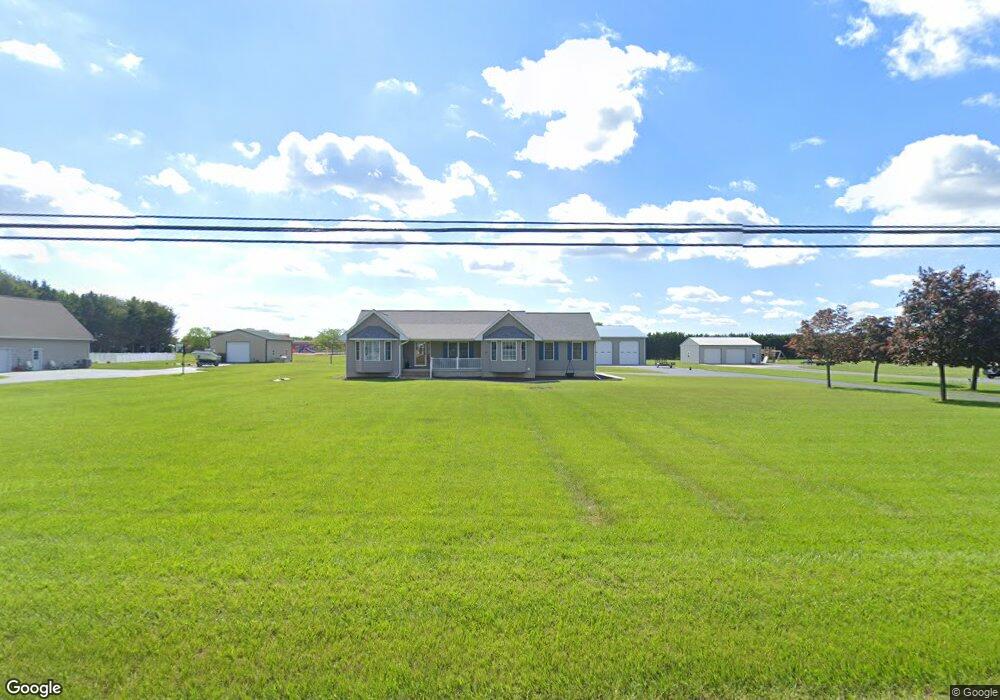
1223 Sunnyside Rd Smyrna, DE 19977
Estimated Value: $456,000 - $480,711
3
Beds
3
Baths
2,100
Sq Ft
$224/Sq Ft
Est. Value
About This Home
This home is located at 1223 Sunnyside Rd, Smyrna, DE 19977 and is currently estimated at $469,678, approximately $223 per square foot. 1223 Sunnyside Rd is a home located in Kent County with nearby schools including Sunnyside Elementary School, John Bassett Moore Intermediate School, and Smyrna Middle School.
Ownership History
Date
Name
Owned For
Owner Type
Purchase Details
Closed on
Jan 13, 2020
Sold by
Latham William C
Bought by
Davis Roger D
Current Estimated Value
Purchase Details
Closed on
Aug 15, 2008
Sold by
Ballard Scott E and Ballard Renee L
Bought by
Latham William C
Home Financials for this Owner
Home Financials are based on the most recent Mortgage that was taken out on this home.
Original Mortgage
$238,000
Interest Rate
6.4%
Mortgage Type
Purchase Money Mortgage
Create a Home Valuation Report for This Property
The Home Valuation Report is an in-depth analysis detailing your home's value as well as a comparison with similar homes in the area
Home Values in the Area
Average Home Value in this Area
Purchase History
| Date | Buyer | Sale Price | Title Company |
|---|---|---|---|
| Davis Roger D | $305,000 | None Available | |
| Latham William C | $301,000 | None Available |
Source: Public Records
Mortgage History
| Date | Status | Borrower | Loan Amount |
|---|---|---|---|
| Previous Owner | Latham William C | $238,000 |
Source: Public Records
Tax History Compared to Growth
Tax History
| Year | Tax Paid | Tax Assessment Tax Assessment Total Assessment is a certain percentage of the fair market value that is determined by local assessors to be the total taxable value of land and additions on the property. | Land | Improvement |
|---|---|---|---|---|
| 2025 | $1,634 | $505,000 | $172,000 | $333,000 |
| 2024 | $1,634 | $505,000 | $172,000 | $333,000 |
| 2023 | $1,300 | $67,600 | $9,900 | $57,700 |
| 2022 | $1,738 | $67,600 | $9,900 | $57,700 |
| 2021 | $1,704 | $67,600 | $9,900 | $57,700 |
| 2020 | $1,492 | $67,600 | $9,900 | $57,700 |
| 2019 | $1,507 | $67,600 | $9,900 | $57,700 |
| 2018 | $1,507 | $67,600 | $9,900 | $57,700 |
| 2017 | $1,502 | $67,600 | $0 | $0 |
| 2016 | $1,524 | $67,600 | $0 | $0 |
| 2015 | $1,530 | $67,600 | $0 | $0 |
| 2014 | $1,432 | $67,600 | $0 | $0 |
Source: Public Records
Map
Nearby Homes
- 299 W Clarendon Dr
- 107 Newgate Cir
- 35 Liborio Ln
- 8 Aidone Ln
- 2 Cyclops Trail
- 117 E Clarendon Dr
- 58 Vincent Ct
- 125 E Clarendon Dr
- 7 Pegasus Ln
- 59 Vincent Ct
- 26 Cyclops Trail
- 63 Raphael Rd
- 671 Widener Ln
- 675 Widener Ln
- 14 Gorgons Ave
- 546 Barley Ct
- 717 Saks St Unit 84
- 938 Appleberry Dr
- 46 Foxtrail Rd
- 221 Climbing Vine Ave
- 1183 Sunnyside Rd
- 1261 Sunnyside Rd
- 1091 Sunnyside Rd
- 1208 Sunnyside Rd
- Lot Sunnyside Rd
- 199 W Clarendon Dr
- 211 W Clarendon Dr
- 185 W Clarendon Dr
- 179 W Clarendon Dr
- 177 W Clarendon Dr
- 89 Ashvale Dr
- 223 W Clarendon Dr
- 171 W Clarendon Dr
- 237 W Clarendon Dr
- 83 Ashvale Dr
- 212 W Clarendon Dr
- 1067 Sunnyside Rd
- 155 W Clarendon Dr
- 50 Rabbit Chase Ln
- 190 W Clarendon Dr