Estimated Value: $864,460
--
Bed
5
Baths
7,803
Sq Ft
$111/Sq Ft
Est. Value
About This Home
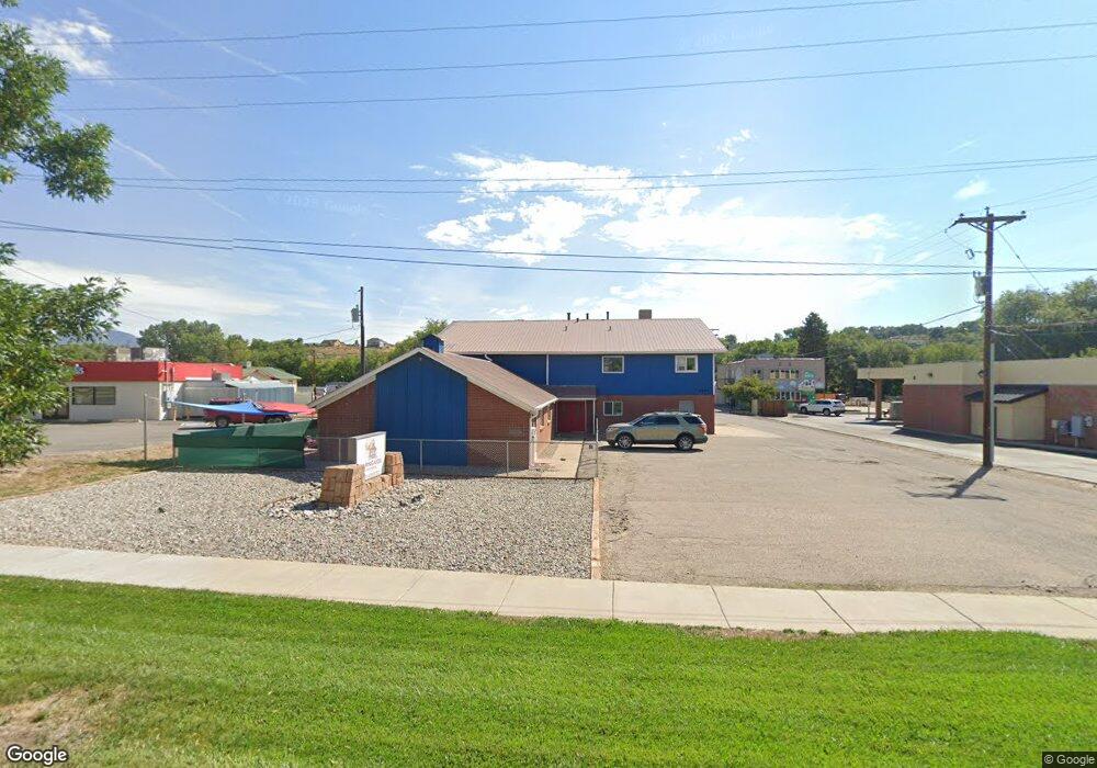
This home is located at 1224 Railroad Ave, Rifle, CO 81650 and is currently estimated at $864,460, approximately $110 per square foot. 1224 Railroad Ave is a home located in Garfield County with nearby schools including Graham Mesa Elementary School, Rifle Middle School, and Rifle High School.
Ownership History
Date
Name
Owned For
Owner Type
Purchase Details
Closed on
Mar 15, 2018
Sold by
Fotr Inc
Bought by
Compass Companies
Current Estimated Value
Home Financials for this Owner
Home Financials are based on the most recent Mortgage that was taken out on this home.
Original Mortgage
$224,000
Interest Rate
4.38%
Mortgage Type
Commercial
Purchase Details
Closed on
Jul 14, 2005
Sold by
Rifle Southern Baptist Chapel Inc
Bought by
Fotr Inc
Create a Home Valuation Report for This Property
The Home Valuation Report is an in-depth analysis detailing your home's value as well as a comparison with similar homes in the area
Home Values in the Area
Average Home Value in this Area
Purchase History
| Date | Buyer | Sale Price | Title Company |
|---|---|---|---|
| Compass Companies | $560,000 | Title Co Of The Rockies | |
| Fotr Inc | -- | -- |
Source: Public Records
Mortgage History
| Date | Status | Borrower | Loan Amount |
|---|---|---|---|
| Closed | Compass Companies | $224,000 | |
| Closed | Compass Companies | $280,000 |
Source: Public Records
Tax History Compared to Growth
Tax History
| Year | Tax Paid | Tax Assessment Tax Assessment Total Assessment is a certain percentage of the fair market value that is determined by local assessors to be the total taxable value of land and additions on the property. | Land | Improvement |
|---|---|---|---|---|
| 2024 | $9,098 | $119,320 | $74,180 | $45,140 |
| 2023 | $9,098 | $119,320 | $74,180 | $45,140 |
| 2022 | $10,160 | $141,910 | $79,170 | $62,740 |
| 2021 | $11,345 | $141,910 | $79,170 | $62,740 |
| 2020 | $10,567 | $144,470 | $79,170 | $65,300 |
| 2019 | $10,000 | $144,470 | $79,170 | $65,300 |
| 2018 | $10,444 | $173,950 | $103,270 | $70,680 |
| 2017 | $2,782 | $173,950 | $103,270 | $70,680 |
| 2016 | $2,555 | $0 | $0 | $0 |
| 2015 | -- | $0 | $0 | $0 |
| 2014 | -- | $0 | $0 | $0 |
Source: Public Records
Map
Nearby Homes
- 100 Cowboy Dr
- 132 Cowboy Dr
- 176 Cowboy Dr
- 154 Cowboy Dr
- 282 Cowboy Dr
- 188 Cowboy Dr
- 212 Cowboy Dr
- Tbd 14th St
- 224 Cowboy Dr
- 246 Cowboy Dr
- 258 Cowboy Dr
- 260 Cowboy Dr
- 1501 Railroad Ave Unit 37
- 292 Cowboy Dr
- 1018 East Ave Unit 5
- Tract 1 Whiteriver Ave
- 1012 East Ave Unit 2
- 435 Arbor Ln
- 420 W 16th St
- 1036 Clarkson Ave
- 1248 Railroad Ave
- 1250 Railroad Ave
- 125 E 12th St
- 133 E 12th St
- 109 E 12th St
- 1150 Railroad Ave
- 0 Railroad
- 141 E 12th St
- 151 E 12th St
- 1122 East Ave
- 120 E 11th St
- 130 E 11th St
- 100 E 11th St
- 136 E 11th St
- 142 E 11th St
- 1149 Whiteriver Ave
- 1145 Whiteriver Ave
- 154 E 11th St
- 1137 Whiteriver Ave
- 1131 Whiteriver Ave