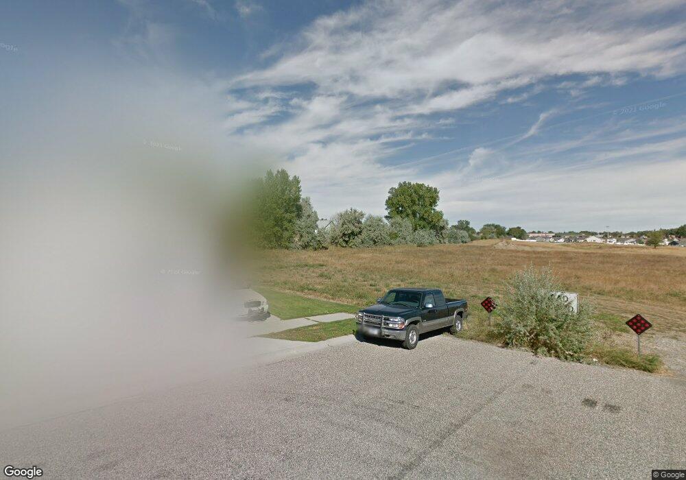
1224 Watson Peak Rd Billings, MT 59105
Billings Heights NeighborhoodEstimated Value: $401,000 - $428,873
3
Beds
2
Baths
1,833
Sq Ft
$228/Sq Ft
Est. Value
About This Home
This home is located at 1224 Watson Peak Rd, Billings, MT 59105 and is currently estimated at $417,468, approximately $227 per square foot. 1224 Watson Peak Rd is a home located in Yellowstone County with nearby schools including Bench School, Medicine Crow Middle School, and Skyview High School.
Ownership History
Date
Name
Owned For
Owner Type
Purchase Details
Closed on
Jun 11, 2021
Sold by
Burns Christopher L
Bought by
Burns Christopher L and Burns Wanda L
Current Estimated Value
Home Financials for this Owner
Home Financials are based on the most recent Mortgage that was taken out on this home.
Original Mortgage
$359,000
Outstanding Balance
$323,610
Interest Rate
2.9%
Mortgage Type
VA
Estimated Equity
$91,208
Purchase Details
Closed on
Jun 9, 2021
Sold by
Trio Construction Lc
Bought by
Art Work Builders Inc
Home Financials for this Owner
Home Financials are based on the most recent Mortgage that was taken out on this home.
Original Mortgage
$359,000
Outstanding Balance
$323,610
Interest Rate
2.9%
Mortgage Type
VA
Estimated Equity
$91,208
Create a Home Valuation Report for This Property
The Home Valuation Report is an in-depth analysis detailing your home's value as well as a comparison with similar homes in the area
Home Values in the Area
Average Home Value in this Area
Purchase History
| Date | Buyer | Sale Price | Title Company |
|---|---|---|---|
| Burns Christopher L | -- | First Montana Title Co | |
| Burns Christopher L | -- | First Montana Title Company | |
| Art Work Builders Inc | -- | First Montana Title Co |
Source: Public Records
Mortgage History
| Date | Status | Borrower | Loan Amount |
|---|---|---|---|
| Open | Burns Christopher L | $359,000 |
Source: Public Records
Tax History Compared to Growth
Tax History
| Year | Tax Paid | Tax Assessment Tax Assessment Total Assessment is a certain percentage of the fair market value that is determined by local assessors to be the total taxable value of land and additions on the property. | Land | Improvement |
|---|---|---|---|---|
| 2025 | $3,434 | $387,000 | $58,699 | $328,301 |
| 2024 | $3,434 | $341,000 | $55,940 | $285,060 |
| 2023 | $3,416 | $341,000 | $55,940 | $285,060 |
| 2022 | $3,304 | $290,900 | $47,843 | $243,057 |
| 2021 | $1,129 | $82,483 | $0 | $0 |
| 2020 | $760 | $48,923 | $0 | $0 |
| 2019 | $734 | $48,923 | $0 | $0 |
| 2018 | $730 | $48,112 | $0 | $0 |
| 2017 | $319 | $8,179 | $0 | $0 |
| 2016 | $302 | $7,652 | $0 | $0 |
| 2015 | $298 | $7,652 | $0 | $0 |
| 2014 | $293 | $3,992 | $0 | $0 |
Source: Public Records
Map
Nearby Homes
- 69 Nugget Place
- 1410 Twin Oaks Dr
- 218 Reda Ln Unit 4
- 218 Reda Ln Unit 3
- 1029 Nutter Blvd
- 1422 Watson Peak Rd
- 228 Nash Ln
- 225 Windsor Cir N
- 1443 Twin Oaks Dr
- 277 Westchester Square S
- TBD Saint Andrews Dr
- 1322 Babcock Cir
- 385 Prospectors Ln
- 211 Stillwater Ln
- 130 132 Stillwater Ln
- lot 12 Southern Sky Estates
- 1725 Broadview Dr
- 1717 Sylvan Ln
- 320 Stewart Ct N
- 210 Covert Ln
- 1236 Watson Peak Rd
- 1236 Watson Peak Rd
- 1212 Watson Peak Rd
- 1248 Watson Peak Rd
- 1227 Watson Peak Rd
- 1207 Watson Peak Rd
- 1239 Watson Peak Rd
- 1260 Watson Peak Rd
- 1232 Twin Lakes Dr
- 1220 Twin Lakes Dr
- 1208 Twin Lakes Dr
- 1244 Twin Lakes Dr
- 1234 Calendula Cir
- 1248 Calendula Cir
- 72 Butterfly Lake Ln
- Lot 3 Block 6 Twin Lakes Dr
- Lot 4 Blk 6 Twin Lakes Dr
- Lot 5 Blk 6 Twin Lakes Dr
- 1252 Twin Lakes Dr
- 1272 Watson Peak Rd