1225 Anchor Ct Harris, MN 55032
Estimated Value: $467,000 - $646,000
4
Beds
3
Baths
1,794
Sq Ft
$298/Sq Ft
Est. Value
About This Home
This home is located at 1225 Anchor Ct, Harris, MN 55032 and is currently estimated at $535,037, approximately $298 per square foot. 1225 Anchor Ct is a home located in Chisago County with nearby schools including North Branch Middle School, Sunrise River Elementary School, and North Branch Senior High School.
Ownership History
Date
Name
Owned For
Owner Type
Purchase Details
Closed on
Mar 3, 2009
Sold by
Fay Michael D and Bond Fay Cheryl A
Bought by
Priebe Duane
Current Estimated Value
Purchase Details
Closed on
Aug 1, 2008
Sold by
Fay Michael D and Bond Fay Cheryl A
Bought by
Priebe Duane
Home Financials for this Owner
Home Financials are based on the most recent Mortgage that was taken out on this home.
Original Mortgage
$286,000
Interest Rate
5.05%
Mortgage Type
Land Contract Argmt. Of Sale
Create a Home Valuation Report for This Property
The Home Valuation Report is an in-depth analysis detailing your home's value as well as a comparison with similar homes in the area
Purchase History
| Date | Buyer | Sale Price | Title Company |
|---|---|---|---|
| Priebe Duane | $290,000 | -- | |
| Priebe Duane | $290,000 | -- |
Source: Public Records
Mortgage History
| Date | Status | Borrower | Loan Amount |
|---|---|---|---|
| Closed | Priebe Duane | $286,000 |
Source: Public Records
Tax History
| Year | Tax Paid | Tax Assessment Tax Assessment Total Assessment is a certain percentage of the fair market value that is determined by local assessors to be the total taxable value of land and additions on the property. | Land | Improvement |
|---|---|---|---|---|
| 2024 | $6,052 | $464,400 | $0 | $0 |
| 2023 | $6,052 | $485,900 | $94,200 | $391,700 |
| 2022 | $6,054 | $459,100 | $89,700 | $369,400 |
| 2021 | $6,120 | $399,400 | $0 | $0 |
| 2020 | $6,376 | $390,900 | $64,400 | $326,500 |
| 2019 | $5,426 | $0 | $0 | $0 |
| 2018 | $5,170 | $0 | $0 | $0 |
| 2017 | $4,754 | $0 | $0 | $0 |
| 2016 | $4,972 | $0 | $0 | $0 |
| 2015 | $4,694 | $0 | $0 | $0 |
| 2014 | -- | $239,500 | $0 | $0 |
Source: Public Records
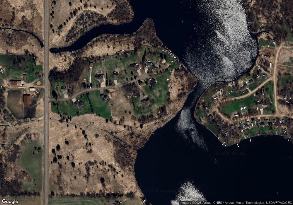
Map
Nearby Homes
- TBD Cambridge Way
- 46620 Cambridge Dr
- 46350 Cambridge Dr
- L3 Crescent Rd
- L1 Crescent Rd
- 2830 Crescent Rd
- 1927 Stark Rd
- 44080 Maple Ln
- 48XXX Anchor Ave
- 48901 Anchor Ave
- 48801 Anchor Ave
- 3400 Stark Rd
- TBD (Lot 1) Brunswick Rd
- TBD (Lot 2) Brunswick Rd
- 3225 465th St
- 43550 Decker Ave
- 42615 Daisy Ave
- 48076 Autumn Ct
- 32266 Virgo St NE
- 48600 Anchor Ave
- 1225 Anchor Ct
- 1251 Anchor Ct
- 000 Anchor Ct
- OOO Anchor Ct
- xxx Anchor Ct
- 1194 Anchor Ct
- 1232 Anchor Ct
- 1250 Anchor Ct
- 1155 Anchor Ct
- 1160 Anchor Ct
- 44910 Bending Cir
- xxx Bending Ave
- 1105 Anchor Ct
- 1078 Anchor Ct
- 44884 Bending Cir
- xxx Bending
- 44960 Bending Cir
- 44878 Bending Cir
- 44727 Anchor Ave
- 44872 Bending Cir
Your Personal Tour Guide
Ask me questions while you tour the home.