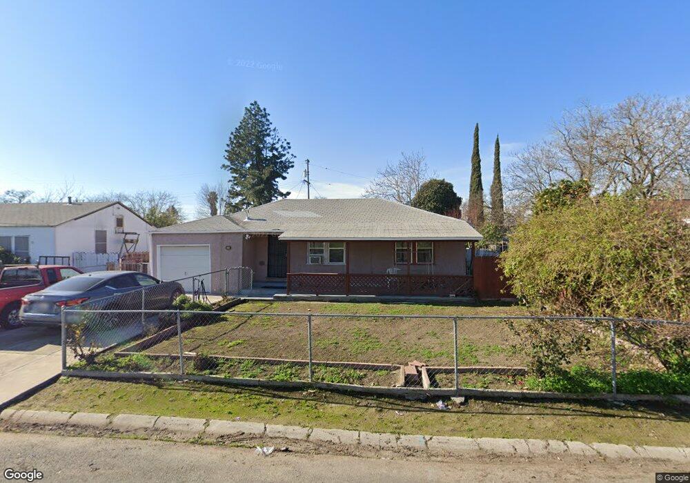
1225 Perry Ave Stockton, CA 95203
Seaport NeighborhoodEstimated Value: $199,000 - $412,000
4
Beds
1
Bath
1,544
Sq Ft
$210/Sq Ft
Est. Value
About This Home
This home is located at 1225 Perry Ave, Stockton, CA 95203 and is currently estimated at $324,661, approximately $210 per square foot. 1225 Perry Ave is a home located in San Joaquin County with nearby schools including Hoover Elementary School, Madison Elementary School, and Flora Arca Mata.
Ownership History
Date
Name
Owned For
Owner Type
Purchase Details
Closed on
Feb 8, 1995
Sold by
Hansen Mary E
Bought by
Singh Jagdishwar and Singh Rakeshni W
Current Estimated Value
Home Financials for this Owner
Home Financials are based on the most recent Mortgage that was taken out on this home.
Original Mortgage
$44,100
Interest Rate
9.21%
Create a Home Valuation Report for This Property
The Home Valuation Report is an in-depth analysis detailing your home's value as well as a comparison with similar homes in the area
Home Values in the Area
Average Home Value in this Area
Purchase History
| Date | Buyer | Sale Price | Title Company |
|---|---|---|---|
| Singh Jagdishwar | $49,000 | Commonwealth Land Title Ins |
Source: Public Records
Mortgage History
| Date | Status | Borrower | Loan Amount |
|---|---|---|---|
| Closed | Singh Jagdishwar | $44,100 |
Source: Public Records
Tax History Compared to Growth
Tax History
| Year | Tax Paid | Tax Assessment Tax Assessment Total Assessment is a certain percentage of the fair market value that is determined by local assessors to be the total taxable value of land and additions on the property. | Land | Improvement |
|---|---|---|---|---|
| 2025 | $1,501 | $116,453 | $41,985 | $74,468 |
| 2024 | $1,477 | $114,170 | $41,162 | $73,008 |
| 2023 | $1,445 | $111,932 | $40,355 | $71,577 |
| 2022 | $1,413 | $109,738 | $39,564 | $70,174 |
| 2021 | $1,359 | $107,588 | $38,789 | $68,799 |
| 2020 | $1,384 | $106,486 | $38,392 | $68,094 |
| 2019 | $1,379 | $104,399 | $37,640 | $66,759 |
| 2018 | $1,354 | $102,352 | $36,902 | $65,450 |
| 2017 | $1,284 | $100,346 | $36,179 | $64,167 |
| 2016 | $1,218 | $98,378 | $35,469 | $62,909 |
| 2014 | $1,158 | $95,003 | $34,252 | $60,751 |
Source: Public Records
Map
Nearby Homes
- 2884 W Rose St
- 2529 Queen Ct
- 2635 W Fremont St Unit 9
- 2923 Monte Diablo Ave Unit 1
- 1211 Pinetree Dr Unit 4
- 2936 Peachtree Dr Unit 2
- 2935 Monte Diablo Ave Unit 3
- 2919 Toyon Dr Unit 1
- 1212 Occidental Ave Unit 3
- 2411 W Acacia St
- 2944 Peachtree Dr Unit 2
- 2944 Peachtree Dr Unit 4
- 1316 Occidental Ave Unit 4
- 1316 Occidental Ave Unit 1
- 2943 Monte Diablo Ave Unit 4
- 2920 Canal Dr
- 2411 W Fremont St
- 815 King Ave
- 3010 Oregon Ct
- 1302 Holt St
- 1235 Perry Ave
- 1215 Perry Ave
- 1224 Banner Ave
- 1214 Banner Ave
- 1245 Perry Ave
- 1205 Perry Ave
- 1204 Banner Ave
- 1214 Perry Ave
- 1234 Perry Ave
- 2801 W Rose St
- 1204 Perry Ave
- 1244 Perry Ave
- 2748 Pixie Dr
- 2752 Pixie Dr
- 2764 Pixie Dr Unit 1
- 2764 Pixie Dr Unit B
- 2764 Pixie Dr
- 1256 Perry Ave
- 2804 W Rose St
- 1146 Banner Ave