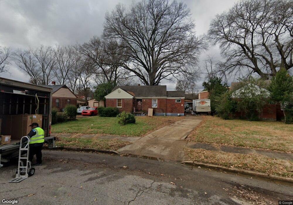
1225 Wingfield Rd Memphis, TN 38122
Berclair NeighborhoodEstimated Value: $93,654 - $133,000
2
Beds
1
Bath
990
Sq Ft
$109/Sq Ft
Est. Value
About This Home
This home is located at 1225 Wingfield Rd, Memphis, TN 38122 and is currently estimated at $108,164, approximately $109 per square foot. 1225 Wingfield Rd is a home located in Shelby County with nearby schools including Kingsbury Elementary School, Kingsbury Middle School, and Kingsbury High School.
Ownership History
Date
Name
Owned For
Owner Type
Purchase Details
Closed on
Dec 19, 2014
Sold by
Wilkes Deron
Bought by
Bush Thomas P
Current Estimated Value
Purchase Details
Closed on
Sep 30, 2013
Sold by
Bush Thomas Paul
Bought by
Wilkes Deron
Purchase Details
Closed on
Mar 15, 2011
Sold by
Estate Of Ken M Crenshaw
Bought by
Bush Thomas Paul
Purchase Details
Closed on
Dec 6, 2006
Sold by
Crenshaw Barbara J and Lindsey Barbara J
Bought by
Crenshaw Ken Maynard and Crenshaw Barbara J
Create a Home Valuation Report for This Property
The Home Valuation Report is an in-depth analysis detailing your home's value as well as a comparison with similar homes in the area
Home Values in the Area
Average Home Value in this Area
Purchase History
| Date | Buyer | Sale Price | Title Company |
|---|---|---|---|
| Bush Thomas P | -- | None Available | |
| Wilkes Deron | -- | None Available | |
| Bush Thomas Paul | $14,000 | None Available | |
| Crenshaw Ken Maynard | -- | None Available |
Source: Public Records
Tax History
| Year | Tax Paid | Tax Assessment Tax Assessment Total Assessment is a certain percentage of the fair market value that is determined by local assessors to be the total taxable value of land and additions on the property. | Land | Improvement |
|---|---|---|---|---|
| 2025 | $405 | $21,050 | $4,125 | $16,925 |
| 2024 | $405 | $11,950 | $2,150 | $9,800 |
| 2023 | $728 | $11,950 | $2,150 | $9,800 |
| 2022 | $728 | $11,950 | $2,150 | $9,800 |
| 2021 | $736 | $11,950 | $2,150 | $9,800 |
| 2020 | $670 | $9,250 | $2,150 | $7,100 |
| 2019 | $670 | $9,250 | $2,150 | $7,100 |
| 2018 | $670 | $9,250 | $2,150 | $7,100 |
| 2017 | $380 | $9,250 | $2,150 | $7,100 |
| 2016 | $415 | $9,500 | $0 | $0 |
| 2014 | $415 | $9,500 | $0 | $0 |
Source: Public Records
Map
Nearby Homes
- 1195 Wingfield Rd
- 1194 Wingfield Rd
- 3965 Canterbury Dr
- 1231 Victor Dr
- 4040 Graham Oaks Ct Unit 21
- 1210 Vernon Cove
- 1286 Gherald St
- 4037 Graham Oaks Ct Unit 30
- 1327 Victor Dr
- 1236 Darlow St
- 1241 Holliday St
- 1251 Holliday St
- 1026 Wingfield Rd
- 4233 Riviera Rd
- 4251 Riviera Rd
- 1345 Maria St
- 1185 Wrenwood St
- 4256 Riviera Dr
- 989 Wingfield Rd
- 3789 Fairoaks Ave
- 1219 Wingfield Rd
- 1229 Wingfield Rd
- 4076 Vaughn Rd
- 1211 Wingfield Rd
- 4087 Vaughn Rd
- 1222 N Graham St
- 1205 Wingfield Rd
- 1214 Wingfield Rd
- 4082 Vaughn Rd
- 1208 Wingfield Rd
- 1199 Wingfield Rd
- 4088 Vaughn Rd
- 4093 Vaughn Rd
- 1216 N Graham St
- 1200 Wingfield Rd
- 1204 N Graham St
- 1210 N Graham St
- 4094 Vaughn Rd
- 4101 Vaughn Rd
- 1196 Wingfield Rd
Your Personal Tour Guide
Ask me questions while you tour the home.