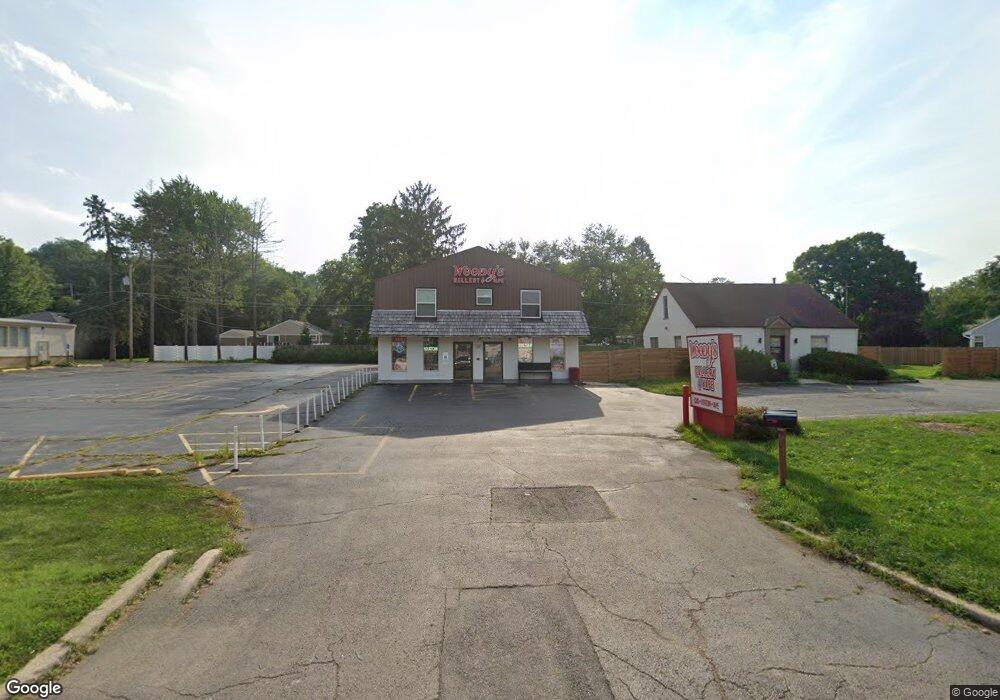
1226 S Main St Algonquin, IL 60102
Traube Fox River View NeighborhoodEstimated Value: $557,704
--
Bed
--
Bath
--
Sq Ft
5,227
Sq Ft Lot
About This Home
This home is located at 1226 S Main St, Algonquin, IL 60102 and is currently estimated at $557,704. 1226 S Main St is a home located in McHenry County with nearby schools including Westfield Community School, Kenneth E Neubert Elementary School, and United Junior High School.
Ownership History
Date
Name
Owned For
Owner Type
Purchase Details
Closed on
Jul 27, 2023
Sold by
Blackstone Reality Corp
Bought by
1226 S Main Street Llc
Current Estimated Value
Purchase Details
Closed on
Oct 28, 2022
Sold by
Headdy Glass Co
Bought by
Blackstone Reality Corp
Purchase Details
Closed on
Feb 1, 2012
Sold by
Bossow Bruce and Bossow Patricia L
Bought by
North Shore Bank Fsb
Purchase Details
Closed on
Apr 17, 2000
Sold by
Lasalle Bank National Assn
Bought by
Bossow Bruce and Bossow Patricia L
Create a Home Valuation Report for This Property
The Home Valuation Report is an in-depth analysis detailing your home's value as well as a comparison with similar homes in the area
Home Values in the Area
Average Home Value in this Area
Purchase History
| Date | Buyer | Sale Price | Title Company |
|---|---|---|---|
| 1226 S Main Street Llc | -- | None Listed On Document | |
| Blackstone Reality Corp | -- | -- | |
| North Shore Bank Fsb | -- | First American Title Ins Co | |
| Bossow Bruce | -- | -- |
Source: Public Records
Tax History Compared to Growth
Tax History
| Year | Tax Paid | Tax Assessment Tax Assessment Total Assessment is a certain percentage of the fair market value that is determined by local assessors to be the total taxable value of land and additions on the property. | Land | Improvement |
|---|---|---|---|---|
| 2024 | $8,010 | $135,391 | $7,748 | $127,643 |
| 2023 | $7,512 | $121,091 | $12,767 | $108,324 |
| 2022 | $7,050 | $109,288 | $11,523 | $97,765 |
| 2021 | $7,292 | $82,180 | $10,735 | $71,445 |
| 2020 | $7,118 | $79,271 | $10,355 | $68,916 |
| 2019 | $6,967 | $75,872 | $9,911 | $65,961 |
| 2018 | $6,681 | $70,090 | $9,156 | $60,934 |
| 2017 | $6,575 | $66,030 | $8,626 | $57,404 |
| 2016 | $6,512 | $61,930 | $8,090 | $53,840 |
| 2013 | -- | $90,996 | $7,548 | $83,448 |
Source: Public Records
Map
Nearby Homes
- 102 Center St
- 1245 Winaki Trail
- 0 Natoma Trail
- 710 Sprucetree Ln
- lot 25 Wabican Trail
- 314 Washington St
- 0 River Dr N Unit MRD12473279
- 1210 Brandywine Cir
- 1 N Hubbard St
- SWC Talaga and Algonquin Rd
- 69 Alice St
- 600 E Algonquin Rd
- 2 Sunset Ln
- 721 Brentwood Ct
- 1114 Riverwood Dr Unit 1114
- 9999 Sandbloom Rd
- 420 N Harrison St
- 1188 E Algonquin Rd
- 1235 Fairmont Ct
- 1535 Teri Ln
- 1226 S Main St Unit 206
- 1226 S Main St Unit 204
- 1226 S Main St Unit 203
- 1226 S Main St Unit 205
- 1226 S Main St Unit 201
- 1226 S Main St Unit 202
- 1224 S Main St
- 1225 Merrill Ave
- 1212 S Main St
- 1233 Merrill Ave
- 1221 Merrill Ave
- 1241 Merrill Ave
- 1221 S Main St
- 1215 Merrill Ave
- 1202 S Main St
- 1245 S Main St
- 1209 S Main St
- 345 Hayes Rd
- 1304 S Main St
- 1249 S Main St