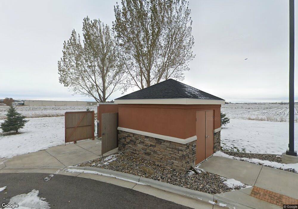
1228 Mullowney Ln Billings, MT 59101
South Central Billings NeighborhoodEstimated Value: $447,000
5
Beds
2
Baths
2,036
Sq Ft
$220/Sq Ft
Est. Value
About This Home
This home is located at 1228 Mullowney Ln, Billings, MT 59101 and is currently estimated at $447,000, approximately $219 per square foot. 1228 Mullowney Ln is a home located in Yellowstone County with nearby schools including Elysian Elementary School, Elysian School, and Billings West High School.
Ownership History
Date
Name
Owned For
Owner Type
Purchase Details
Closed on
May 16, 2022
Sold by
Hefner Family Trust
Bought by
Slh Industrial Llc
Current Estimated Value
Purchase Details
Closed on
Nov 30, 2021
Sold by
Walter Zeiler Raymond
Bought by
Hefner Family Trust and Stephen R Zeiler Revocable Liv
Purchase Details
Closed on
Jun 19, 2020
Sold by
Zeiler Elizabeth
Bought by
Zeiler Elizabeth and Elizabeth Zeiler Trust
Create a Home Valuation Report for This Property
The Home Valuation Report is an in-depth analysis detailing your home's value as well as a comparison with similar homes in the area
Home Values in the Area
Average Home Value in this Area
Purchase History
| Date | Buyer | Sale Price | Title Company |
|---|---|---|---|
| Slh Industrial Llc | -- | First American Title | |
| Hefner Family Trust | -- | None Listed On Document | |
| Zeiler Elizabeth | -- | Accommodation |
Source: Public Records
Tax History Compared to Growth
Tax History
| Year | Tax Paid | Tax Assessment Tax Assessment Total Assessment is a certain percentage of the fair market value that is determined by local assessors to be the total taxable value of land and additions on the property. | Land | Improvement |
|---|---|---|---|---|
| 2025 | $3,185 | $178,761 | $178,761 | -- |
| 2024 | $3,185 | $157,791 | $157,791 | -- |
| 2023 | $18,629 | $328,772 | $113,972 | $214,800 |
| 2022 | $1,455 | $181,437 | $0 | $0 |
| 2021 | $8,556 | $181,437 | $0 | $0 |
| 2020 | $8,374 | $176,349 | $0 | $0 |
| 2019 | $8,301 | $193,759 | $0 | $0 |
| 2018 | $8,071 | $183,312 | $0 | $0 |
| 2017 | $7,800 | $183,312 | $0 | $0 |
| 2016 | $7,384 | $181,808 | $0 | $0 |
| 2015 | $7,210 | $181,808 | $0 | $0 |
| 2014 | $11,088 | $113,900 | $0 | $0 |
Source: Public Records
Map
Nearby Homes
- 5325 Frontier Dr Unit 2
- 5412 Denali Dr
- 5531 Elysian Rd
- 5248 Golden Hollow Rd
- 1618 Hollyhock St
- 1884 St Peter Ln
- 1748 Stony Meadow Ln
- 1614 Songbird Dr
- 1717 Hollyhock St
- 1724 Songbird Dr
- 6114 Northstead Ave
- 1837 Island View Dr
- 6152 Northstead Ave
- 19 Patton Ave
- 1647 Annas Garden Ln
- 1743 Walter Creek Blvd
- 1643 Annas Garden Ln
- 1868 Songbird Dr
- 6170 Elysian Rd Unit 103-203
- 1719 St George Blvd
- 1236 Mullowney Ln
- 5964 Midland Rd
- 1240 Mullowney Ln
- 1339 Holiday Cir
- 5527 Holiday Ave
- 1336 Holiday Cir
- 5720 Frontage Rd
- LOT 19 Harmony Ct
- 1416 Harmony Ct
- 1417 Harmony Ct
- 5515 Holiday Ave
- 1412 Harmony Ct
- 5537 Frontier Dr
- 5537 Frontier Dr
- 1413 Harmony Ct
- 5535 Frontier Dr
- 5535 Frontier Dr
- 5535 Frontier Dr
- 5535 Frontier Dr Unit 3
- 1408 Harmony Ct
