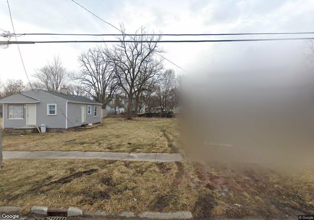
1229 Leland St Flint, MI 48507
Westgate NeighborhoodEstimated Value: $28,791 - $260,000
2
Beds
1
Bath
836
Sq Ft
$214/Sq Ft
Est. Value
About This Home
This home is located at 1229 Leland St, Flint, MI 48507 and is currently estimated at $178,930, approximately $214 per square foot. 1229 Leland St is a home located in Genesee County with nearby schools including Neithercut Elementary School, Flint Southwestern Classical Academy, and International Academy of Flint (K-12).
Ownership History
Date
Name
Owned For
Owner Type
Purchase Details
Closed on
Dec 21, 2009
Sold by
Kildee Daniel T
Bought by
Genesee County Land Bank Authority
Current Estimated Value
Purchase Details
Closed on
Aug 31, 2005
Sold by
Bibbs Carylyne L and Brown April M
Bought by
Bailey Alma and Brown April M
Purchase Details
Closed on
Jan 30, 2001
Sold by
Fawk Hope R
Bought by
Brown April M
Create a Home Valuation Report for This Property
The Home Valuation Report is an in-depth analysis detailing your home's value as well as a comparison with similar homes in the area
Home Values in the Area
Average Home Value in this Area
Purchase History
| Date | Buyer | Sale Price | Title Company |
|---|---|---|---|
| Genesee County Land Bank Authority | -- | None Available | |
| Bailey Alma | -- | Sargents Title Company | |
| Bibbs Carylyne L | $30,000 | Sargents Title Company | |
| Brown Steven E | $25,000 | Sargents Title Company | |
| Brown April M | -- | Sargents Abstract & Title Co |
Source: Public Records
Tax History Compared to Growth
Tax History
| Year | Tax Paid | Tax Assessment Tax Assessment Total Assessment is a certain percentage of the fair market value that is determined by local assessors to be the total taxable value of land and additions on the property. | Land | Improvement |
|---|---|---|---|---|
| 2025 | -- | $0 | $0 | $0 |
| 2024 | -- | $0 | $0 | $0 |
| 2023 | -- | $0 | $0 | $0 |
| 2022 | $0 | $0 | $0 | $0 |
| 2021 | $0 | $0 | $0 | $0 |
| 2020 | $0 | $0 | $0 | $0 |
| 2019 | $0 | $0 | $0 | $0 |
| 2018 | $0 | $0 | $0 | $0 |
| 2017 | $0 | $0 | $0 | $0 |
| 2016 | $0 | $0 | $0 | $0 |
| 2015 | -- | $0 | $0 | $0 |
| 2014 | -- | $0 | $0 | $0 |
| 2012 | -- | $0 | $0 | $0 |
Source: Public Records
Map
Nearby Homes
- 1228 Leland St
- 1410 Berrywood Ln
- 1212 Crawford St
- 1225 Waldman Ave
- 1130 W Atherton Rd
- 1418 Blueberry Ln
- 1028 Campbell St
- 1234 Huron St
- 1310 Huron St
- 1209 Lincoln Ave
- 1523 Waldman Ave
- 1318 Ingleside Ave
- 1015 Alvord Ave
- 1225 Vermilya Ave
- 1902 Crestbrook Ln
- 1314 Pinehurst Ave
- 1210 Pinehurst Ave
- 1031 Ingleside Ave
- 1826 Greenbrook Ln
- 1122 Markham St
- 1223 Leland St
- 1233 Leland St
- 1235 Leland St
- 1239 Leland St
- 1228 Crawford St
- 1232 Crawford St
- 1220 Crawford St
- 1301 Leland St
- 1211 Leland St
- 1240 Crawford St
- 1224 Leland St
- 1305 Leland St
- 1220 Leland St
- 1236 Leland St
- 1306 Crawford St
- 1240 Leland St
- 1212 Leland St
- 4002 Tuxedo Ave
- 1309 Leland St
- 4014 Tuxedo Ave