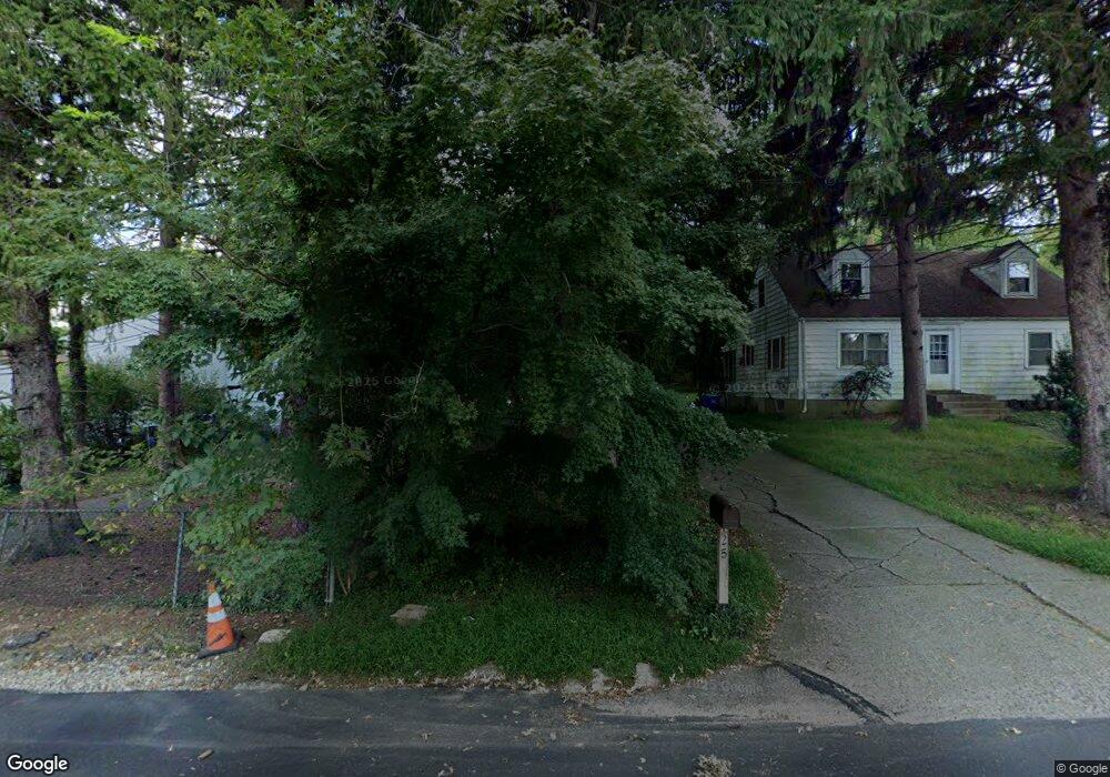
123 Carroll Ave Glenside, PA 19038
Estimated Value: $515,963 - $638,000
4
Beds
3
Baths
2,186
Sq Ft
$251/Sq Ft
Est. Value
About This Home
This home is located at 123 Carroll Ave, Glenside, PA 19038 and is currently estimated at $548,741, approximately $251 per square foot. 123 Carroll Ave is a home located in Montgomery County with nearby schools including Elkins Park School, Cedarbrook Middle School, and Cheltenham High School.
Ownership History
Date
Name
Owned For
Owner Type
Purchase Details
Closed on
Apr 6, 2018
Sold by
Hoffman Antoinette and Hoffman Ronald
Bought by
Hoffman Antoinette and Hoffman Ronald
Current Estimated Value
Home Financials for this Owner
Home Financials are based on the most recent Mortgage that was taken out on this home.
Original Mortgage
$244,200
Outstanding Balance
$207,149
Interest Rate
3.87%
Mortgage Type
FHA
Estimated Equity
$341,592
Purchase Details
Closed on
Jun 22, 1992
Bought by
Famularo Louise L and Famularo Antoinette
Create a Home Valuation Report for This Property
The Home Valuation Report is an in-depth analysis detailing your home's value as well as a comparison with similar homes in the area
Home Values in the Area
Average Home Value in this Area
Purchase History
| Date | Buyer | Sale Price | Title Company |
|---|---|---|---|
| Hoffman Antoinette | -- | -- | |
| Hoffman Antoinette | -- | -- | |
| Famularo Louise L | -- | -- |
Source: Public Records
Mortgage History
| Date | Status | Borrower | Loan Amount |
|---|---|---|---|
| Open | Hoffman Antoinette | $244,200 | |
| Closed | Hoffman Antoinette | $244,200 |
Source: Public Records
Tax History Compared to Growth
Tax History
| Year | Tax Paid | Tax Assessment Tax Assessment Total Assessment is a certain percentage of the fair market value that is determined by local assessors to be the total taxable value of land and additions on the property. | Land | Improvement |
|---|---|---|---|---|
| 2025 | $9,820 | $147,040 | $63,610 | $83,430 |
| 2024 | $9,820 | $147,040 | $63,610 | $83,430 |
| 2023 | $9,710 | $147,040 | $63,610 | $83,430 |
| 2022 | $9,543 | $147,040 | $63,610 | $83,430 |
| 2021 | $9,282 | $147,040 | $63,610 | $83,430 |
| 2020 | $9,014 | $147,040 | $63,610 | $83,430 |
| 2019 | $8,834 | $147,040 | $63,610 | $83,430 |
| 2018 | $2,617 | $147,040 | $63,610 | $83,430 |
| 2017 | $8,434 | $147,040 | $63,610 | $83,430 |
| 2016 | $8,378 | $147,040 | $63,610 | $83,430 |
| 2015 | $7,987 | $147,040 | $63,610 | $83,430 |
| 2014 | $7,987 | $147,040 | $63,610 | $83,430 |
Source: Public Records
Map
Nearby Homes
- 56 Chelfield Rd
- 65 Limekiln Pike
- 229 Edge Hill Rd
- 340 Locust Rd
- 0 Logan Ave Unit PAMC2112680
- 400 W Glenside Ave
- 140 Linden Ave
- 2711 Taft Ave
- 504 Plymouth Rd
- 540 Beaver Rd
- 245 Linden Ave
- 162 Logan Ave
- 110 Girard Ave
- 458 Monroe Ave
- 441 Cricket Ave
- 307 Roslyn Ave
- 0 Girard Ave
- 446 Twickenham Rd
- 711 Custis Rd
- 332 Logan Ave
- 654 Brooke Rd
- 125 Carroll Ave
- 113 Carroll Ave
- 105 Carroll Ave
- 139 Carroll Ave
- 141 Carroll Ave
- 700 Brooke Rd
- 47 Chelfield Rd
- 661 Brooke Rd
- 665 Brooke Rd
- 43 Chelfield Rd
- 669 Brooke Rd
- 145 Carroll Ave
- 673 Brooke Rd
- 41 Chelfield Rd
- 704 Brooke Rd
- 677 Brooke Rd
- 39 Chelfield Rd
- 147 Carroll Ave
- 49 Chelfield Rd