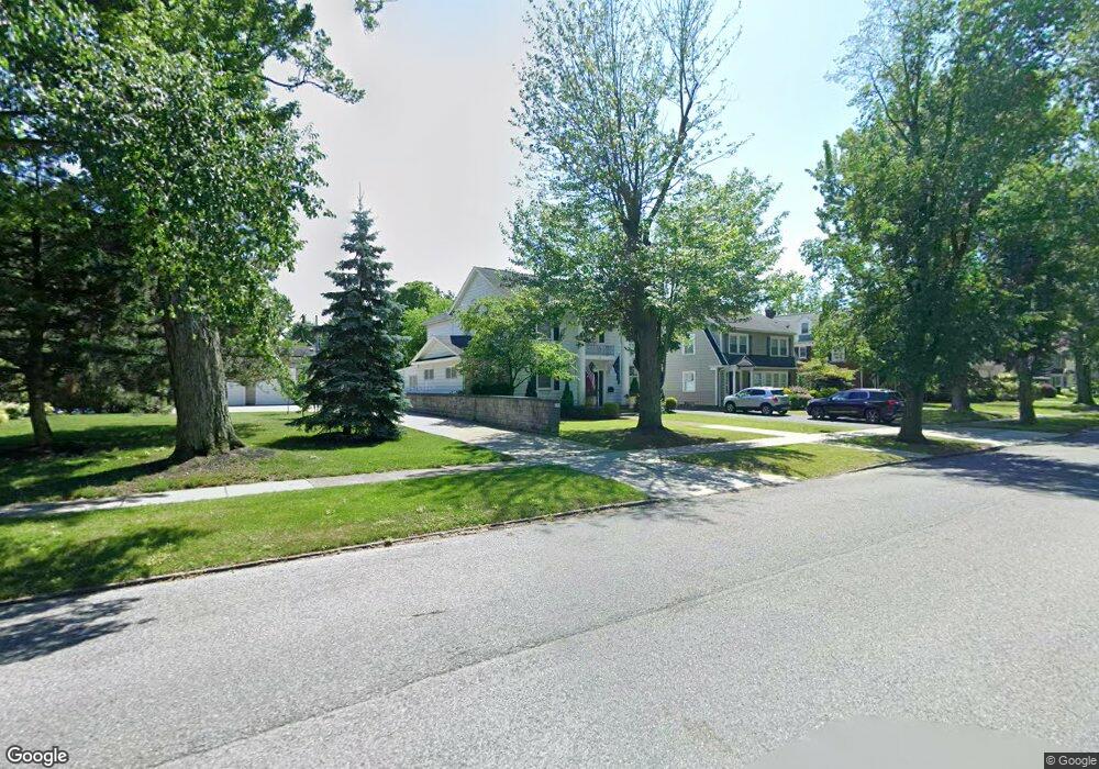
123 Depew Ave Buffalo, NY 14214
North Park NeighborhoodEstimated Value: $873,402 - $991,000
3
Beds
3
Baths
3,336
Sq Ft
$282/Sq Ft
Est. Value
About This Home
This home is located at 123 Depew Ave, Buffalo, NY 14214 and is currently estimated at $942,351, approximately $282 per square foot. 123 Depew Ave is a home located in Erie County with nearby schools including Primary Hall Preparatory Charter School, Buffalo Collegiate Charter School, and St Mark Elementary School.
Ownership History
Date
Name
Owned For
Owner Type
Purchase Details
Closed on
Jul 1, 2009
Sold by
Helfer Kevin and Lamparelli Paul
Bought by
Calvo Torres Betty
Current Estimated Value
Home Financials for this Owner
Home Financials are based on the most recent Mortgage that was taken out on this home.
Original Mortgage
$350,000
Outstanding Balance
$228,432
Interest Rate
5.31%
Mortgage Type
New Conventional
Estimated Equity
$713,919
Purchase Details
Closed on
Jul 8, 2005
Sold by
Maher Martha S
Bought by
The Maher Family Trust and Maher Wilson Suzanne
Create a Home Valuation Report for This Property
The Home Valuation Report is an in-depth analysis detailing your home's value as well as a comparison with similar homes in the area
Home Values in the Area
Average Home Value in this Area
Purchase History
| Date | Buyer | Sale Price | Title Company |
|---|---|---|---|
| Calvo Torres Betty | $380,000 | None Available | |
| The Maher Family Trust | -- | None Available |
Source: Public Records
Mortgage History
| Date | Status | Borrower | Loan Amount |
|---|---|---|---|
| Open | Calvo Torres Betty | $350,000 |
Source: Public Records
Tax History Compared to Growth
Tax History
| Year | Tax Paid | Tax Assessment Tax Assessment Total Assessment is a certain percentage of the fair market value that is determined by local assessors to be the total taxable value of land and additions on the property. | Land | Improvement |
|---|---|---|---|---|
| 2024 | $2,472 | $441,000 | $105,600 | $335,400 |
| 2023 | $2,234 | $441,000 | $105,600 | $335,400 |
| 2022 | $2,217 | $441,000 | $105,600 | $335,400 |
| 2021 | $2,217 | $441,000 | $105,600 | $335,400 |
| 2020 | $2,925 | $441,000 | $105,600 | $335,400 |
| 2019 | $10,426 | $380,000 | $37,300 | $342,700 |
| 2018 | $9,810 | $380,000 | $37,300 | $342,700 |
| 2017 | $2,261 | $380,000 | $37,300 | $342,700 |
| 2016 | $9,250 | $380,000 | $37,300 | $342,700 |
| 2015 | -- | $380,000 | $37,300 | $342,700 |
| 2014 | -- | $380,000 | $37,300 | $342,700 |
Source: Public Records
Map
Nearby Homes
- 268 Woodbridge Ave
- 6 Morris Ave
- 58 Starin Ave
- 110 Linden Ave
- 365 Huntington Ave
- 367 Huntington Ave
- 1743 Hertel Ave
- 138 Greenfield St
- 54 Admiral Rd
- 326 Voorhees Ave
- 415 Crescent Ave
- 21 Sterling Ave
- 321 Voorhees Ave
- 47 Winston Rd
- 74 Admiral Rd
- 87 Sterling Ave
- 32 Sterling Ave
- 33 Frontenac Ave
- 346 Woodward Ave
- 390 Starin Ave