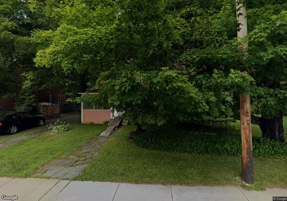
123 State St Shelburne Falls, MA 01370
Buckland NeighborhoodEstimated Value: $270,000 - $326,000
3
Beds
1
Bath
1,296
Sq Ft
$228/Sq Ft
Est. Value
About This Home
This home is located at 123 State St, Shelburne Falls, MA 01370 and is currently estimated at $295,843, approximately $228 per square foot. 123 State St is a home with nearby schools including Mohawk Trail Regional High School.
Ownership History
Date
Name
Owned For
Owner Type
Purchase Details
Closed on
Mar 15, 1994
Sold by
Smithers Stanley H and Smithers Muriel S
Bought by
Thompson Jeffrey H
Current Estimated Value
Home Financials for this Owner
Home Financials are based on the most recent Mortgage that was taken out on this home.
Original Mortgage
$86,700
Interest Rate
6.93%
Mortgage Type
Purchase Money Mortgage
Create a Home Valuation Report for This Property
The Home Valuation Report is an in-depth analysis detailing your home's value as well as a comparison with similar homes in the area
Home Values in the Area
Average Home Value in this Area
Purchase History
| Date | Buyer | Sale Price | Title Company |
|---|---|---|---|
| Thompson Jeffrey H | $85,000 | -- |
Source: Public Records
Mortgage History
| Date | Status | Borrower | Loan Amount |
|---|---|---|---|
| Open | Thompson Jeffrey H | $76,000 | |
| Closed | Thompson Jeffrey H | $86,700 | |
| Previous Owner | Thompson Jeffrey H | $12,938 |
Source: Public Records
Tax History Compared to Growth
Tax History
| Year | Tax Paid | Tax Assessment Tax Assessment Total Assessment is a certain percentage of the fair market value that is determined by local assessors to be the total taxable value of land and additions on the property. | Land | Improvement |
|---|---|---|---|---|
| 2025 | $3,386 | $199,900 | $50,300 | $149,600 |
| 2024 | $3,724 | $212,100 | $50,300 | $161,800 |
| 2023 | $2,683 | $158,400 | $50,300 | $108,100 |
| 2022 | $2,658 | $158,400 | $50,300 | $108,100 |
| 2021 | $2,553 | $143,100 | $50,300 | $92,800 |
| 2020 | $2,472 | $133,500 | $50,300 | $83,200 |
| 2019 | $2,353 | $126,300 | $50,300 | $76,000 |
| 2018 | $2,313 | $122,700 | $50,300 | $72,400 |
| 2017 | $2,215 | $122,700 | $50,300 | $72,400 |
| 2016 | $2,167 | $128,200 | $50,300 | $77,900 |
| 2015 | $2,154 | $128,200 | $50,300 | $77,900 |
Source: Public Records
Map
Nearby Homes
- 33 Williams St
- 105 - 107 Bridge St
- 10 Deerfield Ave Unit 5
- 10 Deerfield Ave Unit 2
- 2151 Route 2
- 2155 Massachusetts 2
- 102 Elm St
- 156 Ashfield Rd
- 7 Hog Hollow Rd
- 31 W Oxbow Rd
- 24 W Oxbow Rd
- 0 W Oxbow Rd Unit 73453651
- 0 Upper St
- 3+5 Church St
- 0 Fiske Mill Rd
- 143 Charlemont Rd
- 0 Ashfield Rd
- 32 Navaho Ln
- 85 Dacey Rd
- 139 Taylor Brook Rd