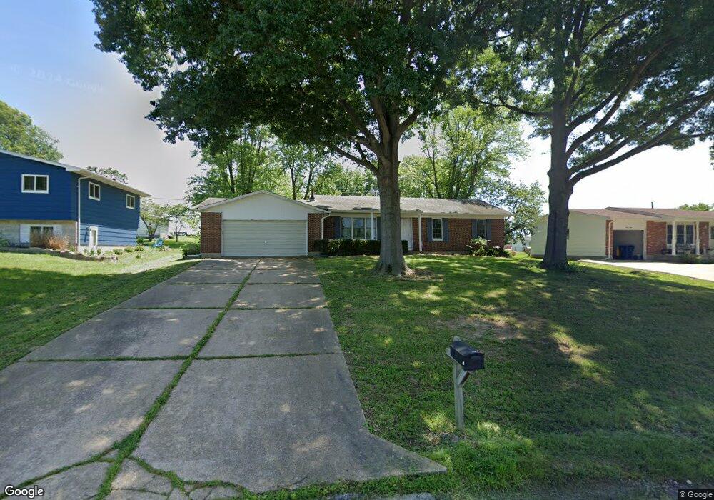
1230 Cynthia Ln Saint Clair, MO 63077
Estimated Value: $188,000 - $197,056
3
Beds
1
Bath
1,134
Sq Ft
$170/Sq Ft
Est. Value
About This Home
This home is located at 1230 Cynthia Ln, Saint Clair, MO 63077 and is currently estimated at $192,685, approximately $169 per square foot. 1230 Cynthia Ln is a home located in Franklin County with nearby schools including St. Clair Elementary School, Edgar Murray Elementary School, and St. Clair Junior High School.
Ownership History
Date
Name
Owned For
Owner Type
Purchase Details
Closed on
Dec 6, 2013
Sold by
Mcglynn Michael E and Mcglynn Susan M
Bought by
White Rhonda M
Current Estimated Value
Home Financials for this Owner
Home Financials are based on the most recent Mortgage that was taken out on this home.
Original Mortgage
$81,632
Outstanding Balance
$60,642
Interest Rate
4.21%
Mortgage Type
New Conventional
Estimated Equity
$132,043
Create a Home Valuation Report for This Property
The Home Valuation Report is an in-depth analysis detailing your home's value as well as a comparison with similar homes in the area
Home Values in the Area
Average Home Value in this Area
Purchase History
| Date | Buyer | Sale Price | Title Company |
|---|---|---|---|
| White Rhonda M | $80,000 | -- |
Source: Public Records
Mortgage History
| Date | Status | Borrower | Loan Amount |
|---|---|---|---|
| Open | White Rhonda M | $81,632 |
Source: Public Records
Tax History
| Year | Tax Paid | Tax Assessment Tax Assessment Total Assessment is a certain percentage of the fair market value that is determined by local assessors to be the total taxable value of land and additions on the property. | Land | Improvement |
|---|---|---|---|---|
| 2025 | $1,779 | $26,405 | $0 | $0 |
| 2024 | $1,779 | $24,292 | $0 | $0 |
| 2023 | $1,491 | $24,292 | $0 | $0 |
| 2022 | $1,364 | $22,118 | $0 | $0 |
| 2021 | $1,361 | $22,118 | $0 | $0 |
| 2020 | $1,292 | $20,131 | $0 | $0 |
| 2019 | $1,281 | $20,131 | $0 | $0 |
| 2018 | $1,258 | $19,525 | $0 | $0 |
| 2017 | $1,256 | $19,525 | $0 | $0 |
| 2016 | $1,290 | $20,034 | $0 | $0 |
| 2015 | $1,196 | $20,034 | $0 | $0 |
| 2014 | $1,208 | $20,245 | $0 | $0 |
Source: Public Records
Map
Nearby Homes
- 830 Walton St
- 0 Crescent Lake Rd Unit MIS25079528
- 45 E Oak St
- 235 E Oak St
- 325 Iris Ct
- 0 Oak Ridge Dr Unit MIS25078521
- 330 Young St
- 315 W Oak St
- 208 Mosley Ave
- 5 Lots Mosley Ave
- 322 Cart Path Ln
- 555 Mulligan Ct
- 614 T-Box Dr
- 0 Gravois Rd Unit 11555468
- 347 Roller Rd
- 605 N Main St
- 445 Lakeshore Dr
- 1638 Neff Rd
- 390 Highway Dr
- 111 Wrenwood Dr
- 1240 Cynthia Ln
- 1220 Cynthia Ln
- 1250 Cynthia Ln
- 1210 Cynthia Ln
- 1187 Bardot St
- 1235 Cynthia Ln
- 1195 Bardot St
- 1225 Cynthia Ln
- 1245 Cynthia Ln
- 1260 Cynthia Ln
- 1185 Bardot St
- 1200 Cynthia Ln Unit 2
- 1200 Cynthia Ln
- 1205 Bardot St
- 1215 Cynthia Ln
- 1255 Cynthia Ln
- 380 E Gravois Ave
- 1270 Cynthia Ln
- 1205 Cynthia Ln
- 1250 Michelle Dr
Your Personal Tour Guide
Ask me questions while you tour the home.