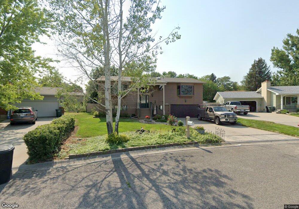
1230 Grubstake Cir Billings, MT 59105
Billings Heights NeighborhoodEstimated Value: $392,807 - $427,000
5
Beds
3
Baths
1,658
Sq Ft
$247/Sq Ft
Est. Value
About This Home
This home is located at 1230 Grubstake Cir, Billings, MT 59105 and is currently estimated at $408,952, approximately $246 per square foot. 1230 Grubstake Cir is a home located in Yellowstone County with nearby schools including Sandstone School, Castle Rock Junior High School, and Skyview High School.
Ownership History
Date
Name
Owned For
Owner Type
Purchase Details
Closed on
Dec 22, 2009
Sold by
Ritter Timothy D
Bought by
Witschi Philip D and Witschi Rosemary K
Current Estimated Value
Home Financials for this Owner
Home Financials are based on the most recent Mortgage that was taken out on this home.
Original Mortgage
$110,000
Interest Rate
4.78%
Mortgage Type
Credit Line Revolving
Create a Home Valuation Report for This Property
The Home Valuation Report is an in-depth analysis detailing your home's value as well as a comparison with similar homes in the area
Home Values in the Area
Average Home Value in this Area
Purchase History
| Date | Buyer | Sale Price | Title Company |
|---|---|---|---|
| Witschi Philip D | -- | None Available |
Source: Public Records
Mortgage History
| Date | Status | Borrower | Loan Amount |
|---|---|---|---|
| Closed | Witschi Philip D | $110,000 |
Source: Public Records
Tax History Compared to Growth
Tax History
| Year | Tax Paid | Tax Assessment Tax Assessment Total Assessment is a certain percentage of the fair market value that is determined by local assessors to be the total taxable value of land and additions on the property. | Land | Improvement |
|---|---|---|---|---|
| 2025 | $3,925 | $412,900 | $67,876 | $345,024 |
| 2024 | $3,925 | $388,700 | $65,504 | $323,196 |
| 2023 | $3,928 | $388,700 | $65,504 | $323,196 |
| 2022 | $3,248 | $278,100 | $0 | $0 |
| 2021 | $3,081 | $278,100 | $0 | $0 |
| 2020 | $3,150 | $272,900 | $0 | $0 |
| 2019 | $3,013 | $272,900 | $0 | $0 |
| 2018 | $2,750 | $241,600 | $0 | $0 |
| 2017 | $2,674 | $241,600 | $0 | $0 |
| 2016 | $2,591 | $237,100 | $0 | $0 |
| 2015 | $2,536 | $237,100 | $0 | $0 |
| 2014 | $2,220 | $108,544 | $0 | $0 |
Source: Public Records
Map
Nearby Homes
- 69 Nugget Place
- 1029 Nutter Blvd
- 1322 Babcock Cir
- 277 Westchester Square S
- 1422 Watson Peak Rd
- 1410 Twin Oaks Dr
- 385 Prospectors Ln
- 218 Reda Ln Unit 4
- 218 Reda Ln Unit 3
- 1443 Twin Oaks Dr
- 225 Windsor Cir N
- 228 Nash Ln
- TBD Saint Andrews Dr
- 320 Stewart Ct N
- 324 Stewart Ct N
- 475 Republic Ave
- 1017 Toole Cir
- 1126 Yorktown St
- 153 W Hilltop Rd
- lot 12 Southern Sky Estates
- 1224 Grubstake Cir
- 1236 Grubstake Cir
- 71 Gold Pan Ln
- 61 Gold Pan Ln
- 1231 Claim Jumper Ln
- 81 Gold Pan Ln
- 1218 Grubstake Cir
- 1242 Grubstake Cir
- 1221 Grubstake Cir
- 51 Gold Pan Ln
- 1221 Claim Jumper Ln
- 1241 Claim Jumper Ln
- 1231 Grubstake Cir
- 1252 Grubstake Cir
- 1212 Grubstake Cir
- 1249 Claim Jumper Ln
- 41 Gold Pan Ln
- 1211 Grubstake Cir
- 1241 Grubstake Cir
- 72 Gold Pan Ln