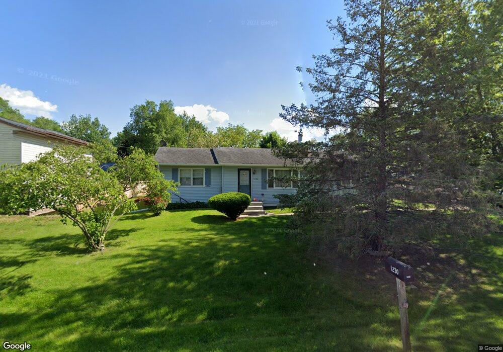
1230 Roosevelt St Waterloo, IA 50707
Maywood NeighborhoodEstimated Value: $167,000 - $213,000
2
Beds
1
Bath
1,300
Sq Ft
$143/Sq Ft
Est. Value
About This Home
This home is located at 1230 Roosevelt St, Waterloo, IA 50707 and is currently estimated at $186,314, approximately $143 per square foot. 1230 Roosevelt St is a home located in Black Hawk County with nearby schools including Highland Elementary School, Bunger Middle School, and East High School.
Ownership History
Date
Name
Owned For
Owner Type
Purchase Details
Closed on
Nov 2, 2023
Sold by
Gaedgc Todd Alan
Bought by
Gaedi Kathy Marie
Current Estimated Value
Home Financials for this Owner
Home Financials are based on the most recent Mortgage that was taken out on this home.
Original Mortgage
$79,300
Outstanding Balance
$77,914
Interest Rate
7.49%
Mortgage Type
New Conventional
Estimated Equity
$108,400
Create a Home Valuation Report for This Property
The Home Valuation Report is an in-depth analysis detailing your home's value as well as a comparison with similar homes in the area
Home Values in the Area
Average Home Value in this Area
Purchase History
| Date | Buyer | Sale Price | Title Company |
|---|---|---|---|
| Gaedi Kathy Marie | -- | None Listed On Document |
Source: Public Records
Mortgage History
| Date | Status | Borrower | Loan Amount |
|---|---|---|---|
| Open | Gaedi Kathy Marie | $79,300 |
Source: Public Records
Tax History Compared to Growth
Tax History
| Year | Tax Paid | Tax Assessment Tax Assessment Total Assessment is a certain percentage of the fair market value that is determined by local assessors to be the total taxable value of land and additions on the property. | Land | Improvement |
|---|---|---|---|---|
| 2024 | $3,376 | $165,810 | $21,600 | $144,210 |
| 2023 | $2,592 | $165,810 | $21,600 | $144,210 |
| 2022 | $2,520 | $130,260 | $21,600 | $108,660 |
| 2021 | $2,400 | $130,260 | $21,600 | $108,660 |
| 2020 | $2,354 | $117,850 | $16,200 | $101,650 |
| 2019 | $2,354 | $117,850 | $16,200 | $101,650 |
| 2018 | $2,176 | $109,670 | $16,200 | $93,470 |
| 2017 | $2,248 | $109,670 | $16,200 | $93,470 |
| 2016 | $2,214 | $109,670 | $16,200 | $93,470 |
| 2015 | $2,214 | $109,670 | $16,200 | $93,470 |
| 2014 | $2,258 | $109,670 | $16,200 | $93,470 |
Source: Public Records
Map
Nearby Homes
- 108 Ogden Ave
- 924 Creston Ave
- 1022 Short St
- 47 Zuma St
- 0 Skyview Rd Unit NBR20251892
- 312 Skyview Rd
- 427 Adrian St
- 2836 Independence Ave
- 1865 Independence Ave
- 244 Wema Ave
- 421 Miner Dr
- 1446 Ruth St
- 312 Glendale St
- 0 Madison Monroe Unit NBR20253026
- 1235 Independence Ave
- 604 Ayers Ave
- 211 Madison St
- 1127 Independence Ave
- 1912 Sycamore St
- 755 Fox Ave