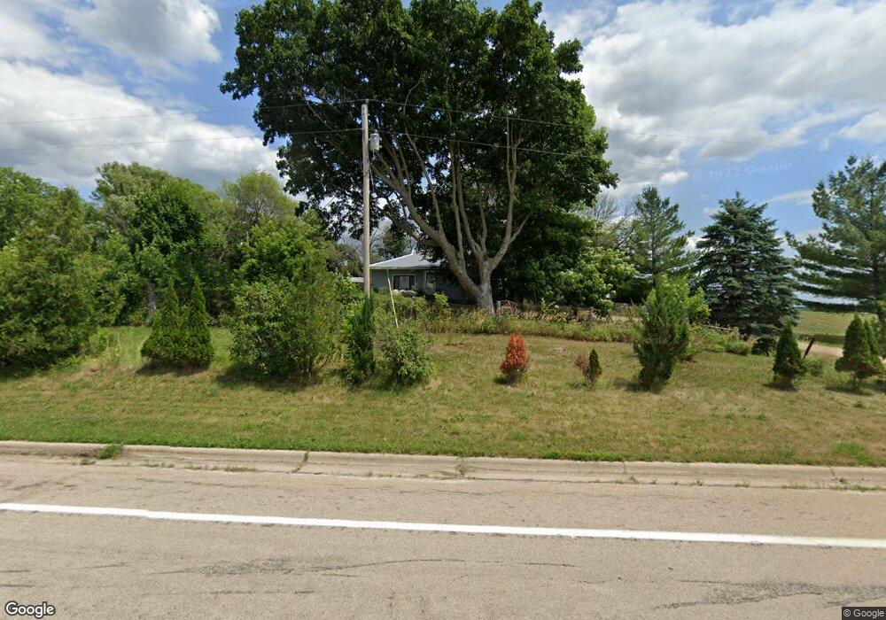
12316 Power Dam Rd NW Oronoco, MN 55960
Estimated Value: $614,000
2
Beds
1
Bath
896
Sq Ft
$685/Sq Ft
Est. Value
About This Home
This home is located at 12316 Power Dam Rd NW, Oronoco, MN 55960 and is currently estimated at $614,000, approximately $685 per square foot. 12316 Power Dam Rd NW is a home located in Olmsted County with nearby schools including Century Senior High School.
Ownership History
Date
Name
Owned For
Owner Type
Purchase Details
Closed on
Sep 12, 2023
Sold by
Marla K Culver Revocable Trust
Bought by
Siems Ruth and Tolliver Teri
Current Estimated Value
Purchase Details
Closed on
May 13, 2014
Sold by
Culver Aaron E and Culver Marla K
Bought by
Culver Marla K and Marla K Culver Revocable Trust
Purchase Details
Closed on
May 6, 2008
Sold by
Culver Aaron E and Culver Marla K
Bought by
Culver Marla K
Purchase Details
Closed on
Aug 2, 2005
Sold by
Culver Aaron and Culver Marla
Bought by
Culver Aaron E and Culver Marla K
Create a Home Valuation Report for This Property
The Home Valuation Report is an in-depth analysis detailing your home's value as well as a comparison with similar homes in the area
Home Values in the Area
Average Home Value in this Area
Purchase History
| Date | Buyer | Sale Price | Title Company |
|---|---|---|---|
| Siems Ruth | $500 | None Listed On Document | |
| Culver Marla K | -- | Thompson Title & Escrow | |
| Culver Marla K | -- | None Available | |
| Culver Aaron E | -- | None Available |
Source: Public Records
Tax History Compared to Growth
Tax History
| Year | Tax Paid | Tax Assessment Tax Assessment Total Assessment is a certain percentage of the fair market value that is determined by local assessors to be the total taxable value of land and additions on the property. | Land | Improvement |
|---|---|---|---|---|
| 2024 | $2,922 | $610,000 | $605,000 | $5,000 |
| 2023 | $3,014 | $585,100 | $580,100 | $5,000 |
| 2022 | $2,645 | $469,700 | $464,700 | $5,000 |
| 2021 | $2,384 | $397,800 | $392,800 | $5,000 |
| 2020 | $2,518 | $397,800 | $392,800 | $5,000 |
| 2019 | $2,368 | $397,800 | $392,800 | $5,000 |
| 2018 | $2,263 | $59,500 | $59,500 | $0 |
| 2017 | $2,488 | $457,300 | $452,300 | $5,000 |
| 2016 | $2,722 | $457,300 | $452,300 | $5,000 |
| 2015 | $1,214 | $457,300 | $452,300 | $5,000 |
| 2014 | $1,264 | $517,800 | $512,700 | $5,100 |
| 2012 | -- | $387,100 | $382,100 | $5,000 |
Source: Public Records
Map
Nearby Homes
- 44th Avenue NW and 103rd St NW
- 103rd Street and 44t Avenue St SW
- 3195 115th St NW
- 4459 130th St NW
- 51-B N Minnesota Ave
- 2700 115th St NW
- TBD W Center St
- 160 5th St SE
- 145 7th St SE
- TBD 1st St NW
- 920 Woodlands Ln SE
- 915 1st St NW
- 615 6th St SW
- 1135 1st St NW
- 771 Zumbro Oaks Ln NW
- xxx 100th St NW
- xxxx 100th St NW
- TBD Sunset Bay Rd
- XXXX Cedar Beach Dr NW
- 56381 400th Ave
- 12405 Power Dam Rd NW
- 12515 Power Dam Rd NW
- 12634 Power Dam Rd NW
- 3694 White Bridge Rd NW
- 3947 White Bridge Rd NW
- 3123 White Bridge Rd NW
- 3951 White Bridge Rd NW
- 3301 125th St NW
- 3101 White Bridge Rd NW
- 3078 125th St NW
- 4034 White Bridge Rd NW
- 3079 White Bridge Rd NW
- 12786 Power Dam Rd NW
- TBD1 44th Ave NW
- TBD2 44th Ave NW
- 13426 Power Dam Rd NW
- TBD 44 Ave NW
- TBD 44th Ave NW
- 480 2nd Ave NE
- TBDx 44th Ave NW