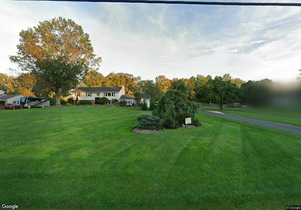
1231A Branch Rd Perkasie, PA 18944
East Rockhill NeighborhoodEstimated Value: $515,547 - $573,000
3
Beds
3
Baths
1,643
Sq Ft
$331/Sq Ft
Est. Value
About This Home
This home is located at 1231A Branch Rd, Perkasie, PA 18944 and is currently estimated at $543,637, approximately $330 per square foot. 1231A Branch Rd is a home located in Bucks County with nearby schools including Pennridge High School and Community Service Foundation.
Ownership History
Date
Name
Owned For
Owner Type
Purchase Details
Closed on
Jul 17, 1998
Sold by
Ritter Kathleen J
Bought by
Matz John M and Matz Marianne L
Current Estimated Value
Home Financials for this Owner
Home Financials are based on the most recent Mortgage that was taken out on this home.
Original Mortgage
$152,000
Outstanding Balance
$30,890
Interest Rate
6.92%
Estimated Equity
$512,747
Purchase Details
Closed on
Feb 16, 1990
Bought by
Ritter Kathleen J
Create a Home Valuation Report for This Property
The Home Valuation Report is an in-depth analysis detailing your home's value as well as a comparison with similar homes in the area
Home Values in the Area
Average Home Value in this Area
Purchase History
| Date | Buyer | Sale Price | Title Company |
|---|---|---|---|
| Matz John M | $190,000 | T A Title Insurance Company | |
| Ritter Kathleen J | -- | -- |
Source: Public Records
Mortgage History
| Date | Status | Borrower | Loan Amount |
|---|---|---|---|
| Open | Matz John M | $152,000 |
Source: Public Records
Tax History Compared to Growth
Tax History
| Year | Tax Paid | Tax Assessment Tax Assessment Total Assessment is a certain percentage of the fair market value that is determined by local assessors to be the total taxable value of land and additions on the property. | Land | Improvement |
|---|---|---|---|---|
| 2025 | $6,382 | $36,480 | $8,440 | $28,040 |
| 2024 | $6,382 | $36,480 | $8,440 | $28,040 |
| 2023 | $6,309 | $36,480 | $8,440 | $28,040 |
| 2022 | $6,309 | $36,480 | $8,440 | $28,040 |
| 2021 | $6,309 | $36,480 | $8,440 | $28,040 |
| 2020 | $6,309 | $36,480 | $8,440 | $28,040 |
| 2019 | $6,272 | $36,480 | $8,440 | $28,040 |
| 2018 | $6,199 | $36,480 | $8,440 | $28,040 |
| 2017 | $6,154 | $36,480 | $8,440 | $28,040 |
| 2016 | $6,154 | $36,480 | $8,440 | $28,040 |
| 2015 | -- | $36,480 | $8,440 | $28,040 |
| 2014 | -- | $36,480 | $8,440 | $28,040 |
Source: Public Records
Map
Nearby Homes
- 44 Deer Run Rd
- 512 Campus Dr
- 584 Campus Dr
- 137 Sunnyside Ln
- 28 Bryant Dr
- 1118 N 5th St
- 1229 N Ridge Rd
- 1032 N 7th St
- Building Package Callowhill Rd
- Lot Callowhill Rd
- 258 N 4th St
- 11B Fairview Ave
- 508 Telegraph Rd
- 2004 Evergreen Dr
- 124 S Main St
- 54 N 8th St Unit HOMESITE B27
- 52 N 8th St Unit HOMESITE B26
- 50 N 8th St Unit HOMESITE B25
- 48 N 8th St Unit HOMESITE B24
- 46 N 8th St Unit HOMESITE B23
- 1231 Branch Rd
- 231 Blooming Glen Rd
- 152 Blooming Glen Rd
- 122 Blooming Glen Rd
- 150 Blooming Glen Rd
- 124 Blooming Glen Rd
- 1233 Branch Rd
- 1237 Branch Rd
- 120 Blooming Glen Rd Unit LOT 4
- 120 Blooming Glen Rd
- 1133 Branch Rd
- 148 Blooming Glen Rd
- 119 Bridgeview Dr
- 117 Bridgeview Dr
- 112 Bridgeview Dr
- 1131 Branch Rd Unit LOT 1
- 1131 Branch Rd Unit LOT 2
- 1131 Branch Rd Unit 2
- 1131 Branch Rd
- 121 Bridgeview Dr