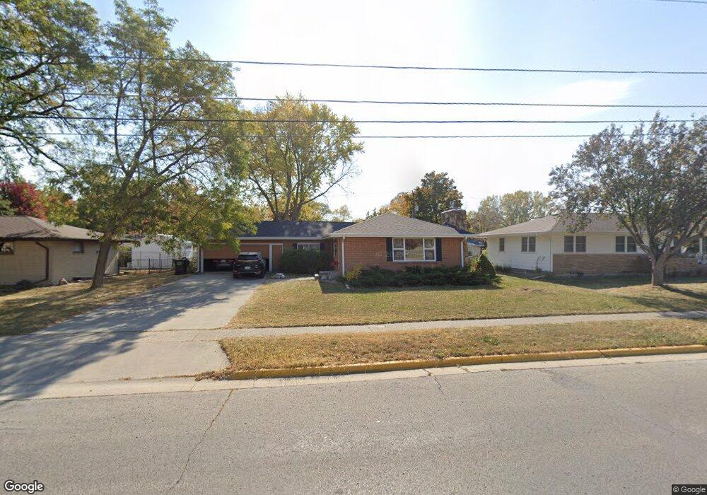
1232 20th St Ames, IA 50010
Grand-Summit NeighborhoodEstimated Value: $298,000 - $326,000
3
Beds
3
Baths
1,389
Sq Ft
$224/Sq Ft
Est. Value
About This Home
This home is located at 1232 20th St, Ames, IA 50010 and is currently estimated at $310,446, approximately $223 per square foot. 1232 20th St is a home located in Story County with nearby schools including Fellows Elementary School, Ames Middle School, and Ames High School.
Ownership History
Date
Name
Owned For
Owner Type
Purchase Details
Closed on
Jun 30, 2016
Sold by
Ohman Daniel E and Ohman Beverly R
Bought by
Dutta Somak and Dutta Bidisha
Current Estimated Value
Purchase Details
Closed on
Jan 4, 2008
Sold by
Ames Residential Properties Llc
Bought by
Ames Residential Properties Llc Series 1
Create a Home Valuation Report for This Property
The Home Valuation Report is an in-depth analysis detailing your home's value as well as a comparison with similar homes in the area
Home Values in the Area
Average Home Value in this Area
Purchase History
| Date | Buyer | Sale Price | Title Company |
|---|---|---|---|
| Dutta Somak | $204,000 | None Available | |
| Ames Residential Properties Llc Series 1 | -- | None Available | |
| Ames Residential Properties Llc | -- | None Available |
Source: Public Records
Tax History
| Year | Tax Paid | Tax Assessment Tax Assessment Total Assessment is a certain percentage of the fair market value that is determined by local assessors to be the total taxable value of land and additions on the property. | Land | Improvement |
|---|---|---|---|---|
| 2025 | $3,750 | $306,300 | $51,400 | $254,900 |
| 2024 | $3,668 | $268,700 | $46,800 | $221,900 |
| 2023 | $3,002 | $268,700 | $46,800 | $221,900 |
| 2022 | $2,964 | $187,300 | $46,800 | $140,500 |
| 2021 | $3,094 | $187,300 | $46,800 | $140,500 |
| 2020 | $3,046 | $184,500 | $46,100 | $138,400 |
| 2019 | $3,046 | $184,500 | $46,100 | $138,400 |
| 2018 | $3,070 | $184,500 | $46,100 | $138,400 |
| 2017 | $3,070 | $184,500 | $46,100 | $138,400 |
| 2016 | $3,082 | $175,000 | $40,400 | $134,600 |
| 2015 | $3,082 | $175,000 | $40,400 | $134,600 |
| 2014 | $2,940 | $163,600 | $37,700 | $125,900 |
Source: Public Records
Map
Nearby Homes
- 1915 Bel Air Dr
- 1801 Coolidge Dr
- 1501 Summit Ave
- 706/ 714 720 726 806 814 24th St
- 1406 Harding Ave
- 1221 Curtiss Ave
- 1225 Marston Ave
- 1214 Northwestern Ave
- 1206 Curtiss Ave
- 1504 Burnett Ave
- 1020 10th St
- 1104 Wilson Ave
- 1003 Clark Ave
- 803 Grand Ave
- 1941 Paulson Dr
- 809 Wilson Ave
- 814 Wilson Ave
- 715 Grand Ave
- 822 7th St
- 505 8th St
- 1224 20th St
- 1304 20th St
- 1912 Bel Air Dr
- 1904 Bel Air Dr
- 1909 Bel Air Cir
- 1909 Bel Air Cir
- 1218 20th St
- 1918 Bel Air Dr
- 1914 Bel Air Cir
- 1212 20th St
- 1316 20th St
- 1924 Bel Air Dr
- 1905 Bel Air Dr
- 1910 Bel Air Cir
- 1204 20th St
- 1322 20th St
- 1913 Northwestern Ave
- 1932 Bel Air Dr
- 1902 Bel Air Cir
- 1907 Northwestern Ave
Your Personal Tour Guide
Ask me questions while you tour the home.