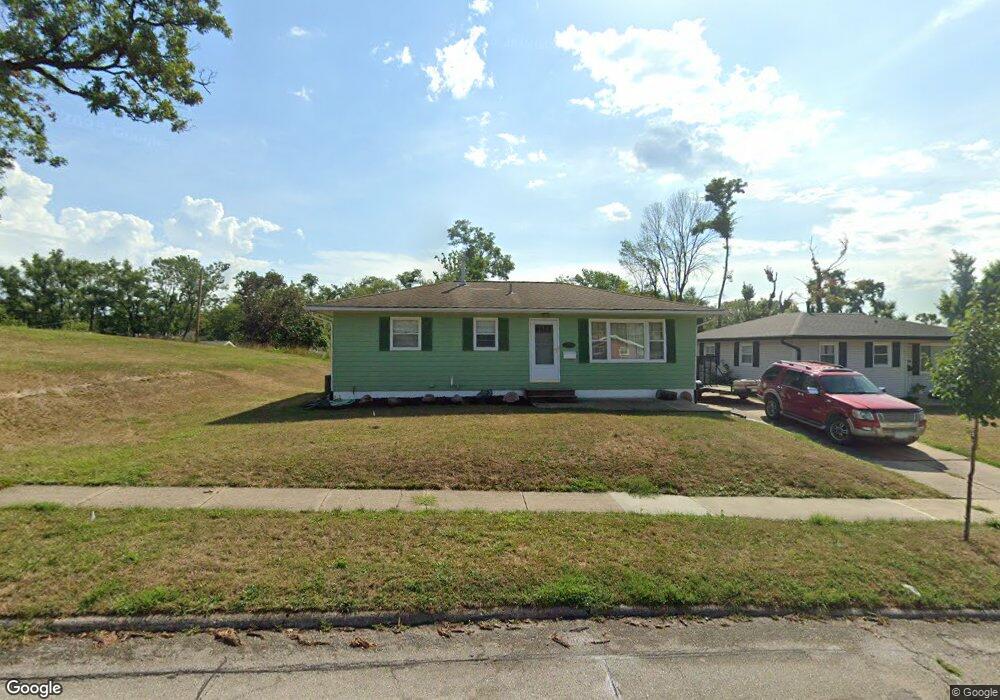
1232 Brockman Dr SE Cedar Rapids, IA 52403
Estimated Value: $172,000 - $188,000
4
Beds
2
Baths
1,412
Sq Ft
$128/Sq Ft
Est. Value
About This Home
This home is located at 1232 Brockman Dr SE, Cedar Rapids, IA 52403 and is currently estimated at $180,181, approximately $127 per square foot. 1232 Brockman Dr SE is a home located in Linn County with nearby schools including Erskine Elementary School, McKinley STEAM Academy, and George Washington High School.
Ownership History
Date
Name
Owned For
Owner Type
Purchase Details
Closed on
Jun 17, 2010
Sold by
Reynolds Brian R and Reynolds Abigail A
Bought by
Clark Michael A
Current Estimated Value
Home Financials for this Owner
Home Financials are based on the most recent Mortgage that was taken out on this home.
Original Mortgage
$88,000
Outstanding Balance
$58,978
Interest Rate
4.97%
Mortgage Type
New Conventional
Estimated Equity
$121,203
Purchase Details
Closed on
Apr 20, 2006
Sold by
Obrine James W and Obrine James
Bought by
Reynolds Brian R and Reynolds Abigail A
Home Financials for this Owner
Home Financials are based on the most recent Mortgage that was taken out on this home.
Original Mortgage
$104,000
Interest Rate
6.48%
Mortgage Type
Fannie Mae Freddie Mac
Purchase Details
Closed on
Mar 19, 2003
Sold by
Mote Patricia M
Bought by
Obrine James W
Home Financials for this Owner
Home Financials are based on the most recent Mortgage that was taken out on this home.
Original Mortgage
$61,000
Interest Rate
5.96%
Create a Home Valuation Report for This Property
The Home Valuation Report is an in-depth analysis detailing your home's value as well as a comparison with similar homes in the area
Home Values in the Area
Average Home Value in this Area
Purchase History
| Date | Buyer | Sale Price | Title Company |
|---|---|---|---|
| Clark Michael A | $117,500 | None Available | |
| Reynolds Brian R | $103,500 | None Available | |
| Obrine James W | $104,000 | -- |
Source: Public Records
Mortgage History
| Date | Status | Borrower | Loan Amount |
|---|---|---|---|
| Open | Clark Michael A | $88,000 | |
| Previous Owner | Reynolds Brian R | $104,000 | |
| Previous Owner | Obrine James W | $61,000 |
Source: Public Records
Tax History Compared to Growth
Tax History
| Year | Tax Paid | Tax Assessment Tax Assessment Total Assessment is a certain percentage of the fair market value that is determined by local assessors to be the total taxable value of land and additions on the property. | Land | Improvement |
|---|---|---|---|---|
| 2025 | $2,470 | $154,000 | $36,000 | $118,000 |
| 2024 | $2,586 | $151,300 | $36,000 | $115,300 |
| 2023 | $2,586 | $139,600 | $32,700 | $106,900 |
| 2022 | $2,442 | $122,600 | $29,400 | $93,200 |
| 2021 | $2,438 | $117,900 | $29,400 | $88,500 |
| 2020 | $2,438 | $110,500 | $22,900 | $87,600 |
| 2019 | $2,284 | $106,000 | $22,900 | $83,100 |
| 2018 | $2,128 | $106,000 | $22,900 | $83,100 |
| 2017 | $2,068 | $98,900 | $22,900 | $76,000 |
| 2016 | $2,068 | $97,300 | $22,900 | $74,400 |
| 2015 | $2,102 | $98,744 | $22,890 | $75,854 |
| 2014 | $2,102 | $98,744 | $22,890 | $75,854 |
| 2013 | $2,056 | $98,744 | $22,890 | $75,854 |
Source: Public Records
Map
Nearby Homes
- 1241 38th St SE
- 1401 Harold Dr SE
- 1111 Brockman Dr SE
- 3600 Bel Air Dr SE
- 1331 34th St SE
- 1013 36th St SE
- 3510 Pioneer Ave SE
- TBD 42nd St SE
- 1310 42nd St SE
- 1310 42nd St SE Unit LotWP001
- 3535 Pioneer Ave SE
- 1425 42nd St SE
- 3630 Mt Vernon Rd SE Unit 6
- Tbd 42nd St SE
- 707 40th St SE
- Tbd 42nd St SE
- 654 34th St SE
- 1521 Oak Ridge Ln SE Unit 3
- 811 E Post Rd SE
- 651 34th St SE
- 1242 Brockman Dr SE
- 1248 Brockman Dr SE
- 1235 38th St SE
- 1247 38th St SE
- 3640 14th Ave SE
- 1227 38th St SE
- 1253 38th St SE
- 3628 14th Ave SE
- 1231 Brockman Dr SE
- 1221 38th St SE
- 1259 38th St SE
- 1225 Brockman Dr SE
- 3652 14th Ave SE
- 1219 Brockman Dr SE
- 1215 38th St SE
- 1265 38th St SE
- 1215 Brockman Dr SE
- 1240 38th St SE
- 1234 38th St SE
- 3629 14th Ave SE