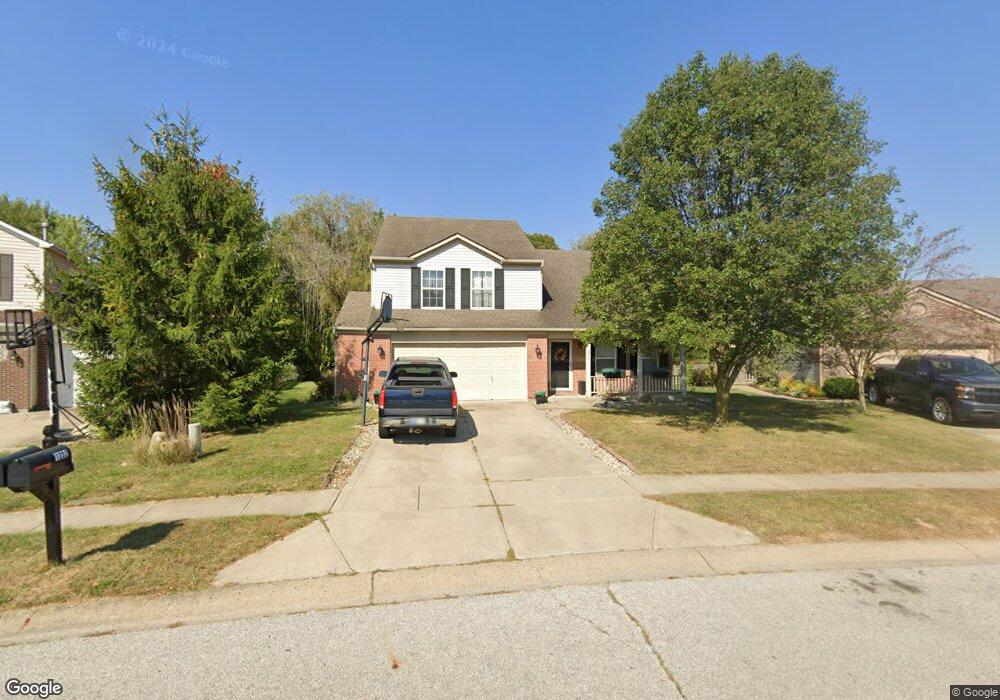
1232 River Ridge Dr Brownsburg, IN 46112
Estimated Value: $342,000 - $369,000
4
Beds
3
Baths
2,532
Sq Ft
$140/Sq Ft
Est. Value
About This Home
This home is located at 1232 River Ridge Dr, Brownsburg, IN 46112 and is currently estimated at $354,699, approximately $140 per square foot. 1232 River Ridge Dr is a home located in Hendricks County with nearby schools including Lincoln Elementary, Brownsburg East Middle School, and Brownsburg High School.
Ownership History
Date
Name
Owned For
Owner Type
Purchase Details
Closed on
Jun 8, 2007
Sold by
Annis Montie T and Annis Paula M
Bought by
Mccaln Melissa
Current Estimated Value
Home Financials for this Owner
Home Financials are based on the most recent Mortgage that was taken out on this home.
Original Mortgage
$130,475
Outstanding Balance
$79,880
Interest Rate
6.2%
Mortgage Type
New Conventional
Estimated Equity
$274,819
Create a Home Valuation Report for This Property
The Home Valuation Report is an in-depth analysis detailing your home's value as well as a comparison with similar homes in the area
Home Values in the Area
Average Home Value in this Area
Purchase History
| Date | Buyer | Sale Price | Title Company |
|---|---|---|---|
| Mccaln Melissa | -- | None Available |
Source: Public Records
Mortgage History
| Date | Status | Borrower | Loan Amount |
|---|---|---|---|
| Open | Mccaln Melissa | $130,475 |
Source: Public Records
Tax History Compared to Growth
Tax History
| Year | Tax Paid | Tax Assessment Tax Assessment Total Assessment is a certain percentage of the fair market value that is determined by local assessors to be the total taxable value of land and additions on the property. | Land | Improvement |
|---|---|---|---|---|
| 2024 | $2,610 | $261,000 | $44,500 | $216,500 |
| 2023 | $2,423 | $242,300 | $40,400 | $201,900 |
| 2022 | $2,367 | $236,700 | $40,400 | $196,300 |
| 2021 | $2,102 | $210,200 | $38,100 | $172,100 |
| 2020 | $1,975 | $197,500 | $38,100 | $159,400 |
| 2019 | $1,906 | $190,600 | $36,000 | $154,600 |
| 2018 | $1,896 | $189,600 | $36,000 | $153,600 |
| 2017 | $1,826 | $182,600 | $34,600 | $148,000 |
| 2016 | $1,776 | $177,600 | $34,600 | $143,000 |
| 2014 | $1,656 | $165,600 | $32,000 | $133,600 |
Source: Public Records
Map
Nearby Homes
- 1113 River Ridge Dr
- 1280 Summer Ridge Ln
- 1284 Summer Ridge Ln
- 961 Pine Ridge Way
- 725 Hawthorne Ln
- 1327 Blue Ridge Ln
- 1208 Brittany Cir Unit A
- 821 Harvest Lake Dr
- 1303 Gable Lake Dr
- 1202 Whittington Dr
- 1208 Whittington Dr
- 805 Wild Lake Cir
- Wexford Plan at Forest Hill
- 7089 Symphony Dr
- 1415 Beaumont Cir
- 7166 Rhapsody Way
- 6863 Black Cherry Terrace
- 6905 Black Willow Ln
- 1505 Arbor Springs Dr
- 543 N Odell St
- 1244 River Ridge Dr
- 1220 River Ridge Dr
- 1256 River Ridge Dr
- 1208 River Ridge Dr
- 1209 River Ridge Dr
- 1197 River Ridge Dr
- 1268 River Ridge Dr
- 1196 River Ridge Dr
- 1221 River Ridge Dr
- 6613 Crown Dr
- 6633 Crown Dr
- 6585 Crown Dr
- 1274 River Ridge Dr
- 1184 River Ridge Dr
- 1185 River Ridge Dr
- 1172 River Ridge Dr
- 1245 River Ridge Dr
- 1282 River Ridge Dr
- 6661 Crown Dr
- 1173 River Ridge Dr