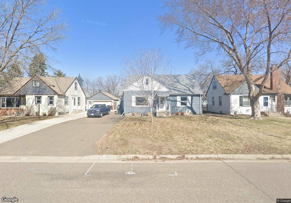
1233 Lealand Rd Saint Paul, MN 55109
Sherwood Glen NeighborhoodEstimated Value: $300,000 - $319,000
3
Beds
1
Bath
1,110
Sq Ft
$280/Sq Ft
Est. Value
About This Home
This home is located at 1233 Lealand Rd, Saint Paul, MN 55109 and is currently estimated at $310,809, approximately $280 per square foot. 1233 Lealand Rd is a home located in Ramsey County with nearby schools including Weaver Elementary School, John Glenn Middle School, and St Jerome Elementary School.
Ownership History
Date
Name
Owned For
Owner Type
Purchase Details
Closed on
May 1, 2023
Sold by
Scheibl Amy Christine
Bought by
Wallace Bryan Andrew
Current Estimated Value
Purchase Details
Closed on
Aug 3, 2009
Sold by
Sutton Funding Llc
Bought by
Wallace Bryan A
Create a Home Valuation Report for This Property
The Home Valuation Report is an in-depth analysis detailing your home's value as well as a comparison with similar homes in the area
Home Values in the Area
Average Home Value in this Area
Purchase History
| Date | Buyer | Sale Price | Title Company |
|---|---|---|---|
| Wallace Bryan Andrew | $500 | None Listed On Document | |
| Wallace Bryan A | $78,400 | -- |
Source: Public Records
Tax History Compared to Growth
Tax History
| Year | Tax Paid | Tax Assessment Tax Assessment Total Assessment is a certain percentage of the fair market value that is determined by local assessors to be the total taxable value of land and additions on the property. | Land | Improvement |
|---|---|---|---|---|
| 2025 | $4,414 | $309,000 | $46,400 | $262,600 |
| 2024 | $4,414 | $309,300 | $46,400 | $262,900 |
| 2023 | $4,414 | $285,500 | $46,400 | $239,100 |
| 2022 | $3,684 | $269,500 | $46,400 | $223,100 |
| 2021 | $3,494 | $224,900 | $46,400 | $178,500 |
| 2020 | $3,878 | $215,700 | $46,400 | $169,300 |
| 2019 | $3,308 | $224,100 | $46,400 | $177,700 |
| 2018 | $3,252 | $191,700 | $46,400 | $145,300 |
| 2017 | $3,228 | $182,600 | $46,400 | $136,200 |
| 2016 | $3,156 | $0 | $0 | $0 |
| 2015 | $2,710 | $168,100 | $42,500 | $125,600 |
| 2014 | $2,436 | $0 | $0 | $0 |
Source: Public Records
Map
Nearby Homes
- 1467 County Road B E
- 1201 Frost Ave
- 1509 Sandhurst Ave E
- 1018 Sextant Ave
- 1940 Barclay St
- 1869 Birmingham St
- 2020 Arcade St
- 2420 Hazelwood St
- 955 Brooks Ct
- 1875 E Shore Dr Unit 302
- 1984 Prosperity Rd
- 1779 Frank St
- 1854 Barclay St
- 1666 Laurie Rd E
- 1694 Laurie Rd E
- 1730 Atlantic St
- 1740 English St
- 771 County Road B2 E
- 727 Laurie Ct
- 1435 Price Ave
- 1233 Lealand Rd E
- 1227 Lealand Rd E
- 1227 Lealand Rd
- 1237 Lealand Rd
- 1237 Lealand Rd E
- 1221 Lealand Rd
- 1215 Lealand Rd
- 1247 Lealand Rd
- 1232 Lealand Rd
- 1228 Lealand Rd
- 1228 Lealand Rd E
- 1211 Lealand Rd E
- 1222 Lealand Rd
- 1211 Lealand Rd
- 1246 County Road B E
- 1218 Lealand Rd
- 1210 County Road B E
- 1218 Lealand Rd E
- 1251 Lealand Rd
- 1246 Lealand Rd