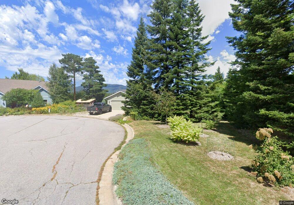
1234 Birch St Sandpoint, ID 83864
Estimated Value: $570,057 - $697,000
3
Beds
2
Baths
1,554
Sq Ft
$404/Sq Ft
Est. Value
About This Home
This home is located at 1234 Birch St, Sandpoint, ID 83864 and is currently estimated at $628,514, approximately $404 per square foot. 1234 Birch St is a home located in Bonner County with nearby schools including Washington Elementary School, Sandpoint Middle School, and Sandpoint High School.
Ownership History
Date
Name
Owned For
Owner Type
Purchase Details
Closed on
Nov 11, 2021
Sold by
Andrews Preston K and Andrews Patricia L
Bought by
Andrews Preston K and Andrews Patricia L
Current Estimated Value
Purchase Details
Closed on
Jan 23, 2018
Sold by
Andrews Preston K and Ericsson Patricia L
Bought by
Andrews Preston K and Erisson Patricia L
Purchase Details
Closed on
Sep 9, 2011
Sold by
Youngdahl Coleman G
Bought by
Andrews Preston K and Ericsson Patricia L
Home Financials for this Owner
Home Financials are based on the most recent Mortgage that was taken out on this home.
Original Mortgage
$173,200
Outstanding Balance
$119,228
Interest Rate
4.37%
Mortgage Type
New Conventional
Estimated Equity
$509,286
Create a Home Valuation Report for This Property
The Home Valuation Report is an in-depth analysis detailing your home's value as well as a comparison with similar homes in the area
Home Values in the Area
Average Home Value in this Area
Purchase History
| Date | Buyer | Sale Price | Title Company |
|---|---|---|---|
| Andrews Preston K | -- | None Available | |
| Andrews Preston K | -- | None Available | |
| Andrews Preston K | -- | -- |
Source: Public Records
Mortgage History
| Date | Status | Borrower | Loan Amount |
|---|---|---|---|
| Open | Andrews Preston K | $173,200 |
Source: Public Records
Tax History Compared to Growth
Tax History
| Year | Tax Paid | Tax Assessment Tax Assessment Total Assessment is a certain percentage of the fair market value that is determined by local assessors to be the total taxable value of land and additions on the property. | Land | Improvement |
|---|---|---|---|---|
| 2025 | $2,958 | $558,751 | $269,391 | $289,360 |
| 2024 | $3,011 | $573,971 | $269,391 | $304,580 |
| 2023 | $2,406 | $560,042 | $269,391 | $290,651 |
| 2022 | $2,498 | $454,369 | $190,256 | $264,113 |
| 2021 | $2,515 | $347,696 | $172,042 | $175,654 |
| 2020 | $2,293 | $305,833 | $126,596 | $179,237 |
| 2019 | $2,015 | $277,572 | $107,646 | $169,926 |
| 2018 | $2,481 | $258,840 | $107,646 | $151,194 |
| 2017 | $2,481 | $251,522 | $0 | $0 |
| 2016 | $2,948 | $215,794 | $0 | $0 |
| 2015 | $3,021 | $220,024 | $0 | $0 |
| 2014 | $2,946 | $217,456 | $0 | $0 |
Source: Public Records
Map
Nearby Homes
- 702 S Merton Ave
- 704 S Merton Ave
- 1405 Autumn Ln
- 1410 J r Ct
- 1406 J r Ct
- 1721 Northshore Dr
- 424 S Olive Ave
- 424 S Olive Ave Unit 303
- 424 S Olive Ave Unit 103
- 424 S Olive Ave Unit 203
- 1515 Northshore Dr
- 1020 Park Ave
- 1309 Westwood Ln
- 411 S Olive Ave Unit 1
- 439 S Marion Ave
- 531 S Lavina Ave
- 436 S Lavina Ave
- 327 S Olive Ave Unit J
- 327 S Olive Ave Unit J
- 135 Madera Dr
- 1226 Birch St
- 1240 Birch St
- 1314 Vineyard
- 1310 Vineyard Dr
- 1316 Vineyard
- 1248 Birch St
- 1218 Birch St
- 1231 Birch St
- 1320 Vineyard
- 1210 Birch St
- 1314 Rosedale Way
- 1316 Rosedale Way
- 1225 Birch St
- 700 S Division Ave
- 1302 Vineyard
- 625 S Division Ave
- 1209 Ontario St
- 1209 Ontario St
- 621 S Division Ave
- 607 S Division Ave