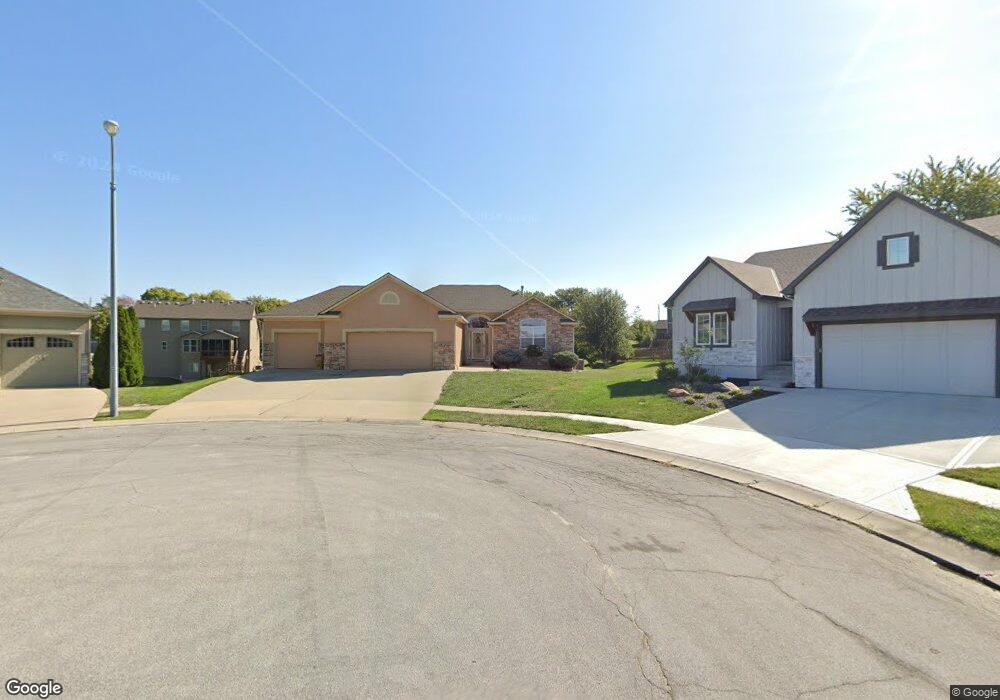
1235 Edwards Cir Raymore, MO 64083
Estimated Value: $486,000 - $550,000
3
Beds
2
Baths
1,548
Sq Ft
$332/Sq Ft
Est. Value
About This Home
This home is located at 1235 Edwards Cir, Raymore, MO 64083 and is currently estimated at $514,108, approximately $332 per square foot. 1235 Edwards Cir is a home located in Cass County with nearby schools including Creekmoor Elementary School, Raymore-Peculiar East Middle School, and Raymore-Peculiar Senior High School.
Ownership History
Date
Name
Owned For
Owner Type
Purchase Details
Closed on
Mar 1, 2021
Sold by
Anderson Moore Karianne
Bought by
Anderson Moore Karianne and Moore Leslie D
Current Estimated Value
Purchase Details
Closed on
Nov 8, 2006
Sold by
Bristol Homes Inc
Bought by
Moore Leslie D
Home Financials for this Owner
Home Financials are based on the most recent Mortgage that was taken out on this home.
Original Mortgage
$263,714
Outstanding Balance
$154,979
Interest Rate
6.28%
Mortgage Type
New Conventional
Estimated Equity
$359,129
Purchase Details
Closed on
Mar 14, 2006
Sold by
Cooper Land Development Inc
Bought by
Bristol Homes Inc
Home Financials for this Owner
Home Financials are based on the most recent Mortgage that was taken out on this home.
Original Mortgage
$197,220
Interest Rate
6.21%
Mortgage Type
Construction
Create a Home Valuation Report for This Property
The Home Valuation Report is an in-depth analysis detailing your home's value as well as a comparison with similar homes in the area
Home Values in the Area
Average Home Value in this Area
Purchase History
| Date | Buyer | Sale Price | Title Company |
|---|---|---|---|
| Anderson Moore Karianne | -- | None Available | |
| Moore Leslie D | -- | -- | |
| Bristol Homes Inc | -- | -- |
Source: Public Records
Mortgage History
| Date | Status | Borrower | Loan Amount |
|---|---|---|---|
| Open | Moore Leslie D | $263,714 | |
| Previous Owner | Bristol Homes Inc | $197,220 |
Source: Public Records
Tax History
| Year | Tax Paid | Tax Assessment Tax Assessment Total Assessment is a certain percentage of the fair market value that is determined by local assessors to be the total taxable value of land and additions on the property. | Land | Improvement |
|---|---|---|---|---|
| 2025 | $5,413 | $75,090 | $12,960 | $62,130 |
| 2024 | $5,413 | $66,510 | $11,780 | $54,730 |
| 2023 | $5,405 | $66,510 | $11,780 | $54,730 |
| 2022 | $4,848 | $59,260 | $11,780 | $47,480 |
| 2021 | $4,849 | $59,260 | $11,780 | $47,480 |
| 2020 | $4,768 | $57,240 | $11,780 | $45,460 |
| 2019 | $4,603 | $57,240 | $11,780 | $45,460 |
| 2018 | $4,572 | $54,900 | $11,780 | $43,120 |
| 2017 | $4,217 | $54,900 | $11,780 | $43,120 |
| 2016 | $4,217 | $52,570 | $11,780 | $40,790 |
| 2015 | $4,220 | $52,570 | $11,780 | $40,790 |
| 2014 | $4,222 | $52,570 | $11,780 | $40,790 |
| 2013 | -- | $52,570 | $11,780 | $40,790 |
Source: Public Records
Map
Nearby Homes
- 1217 Hampton Dr
- 518 Andypaul Ct
- 851 Creekmoor Pond Ln
- 1323 W Johns Blvd
- 835 Reed Dr
- 901 Reed Dr
- 838 Reed Dr
- 1000 Vera Dr
- 827 Reed Dr
- 903 Reed Dr
- 614 Foxglove Ln
- 602 Foxglove Ln
- 604 Foxglove Ln
- 502 Foxglove Ln
- 708 Blazing Star Dr
- 710 Blazing Star Dr
- 706 Blazing Star Dr
- 609 Foxglove Ln
- 911 Zennor Ln
- 608 Foxglove Ln
- 1234 Edwards Cir
- 1233 Edwards Cir
- 616 Duncan Cir
- 1201 Hampton Dr
- 614 Duncan Cir
- 1203 Hampton Dr
- 1232 Wiltshire Blvd
- 1232 Edwards Cir
- 1230 Wiltshire Blvd
- 617 Duncan Cir
- 1230 Edwards Cir
- 1205 Hampton Dr
- 1228 Wiltshire Blvd
- 612 Duncan Cir
- 1200 Hampton Dr
- 1202 Hampton Dr
- 615 Duncan Cir
- 1226 Wiltshire Blvd
- 610 Duncan Cir
- 1223 Deaton Cir
Your Personal Tour Guide
Ask me questions while you tour the home.