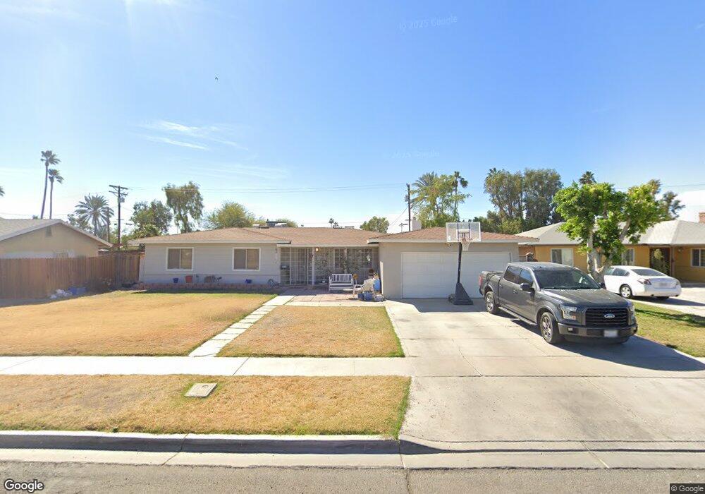
1235 Poplar Dr El Centro, CA 92243
Estimated Value: $396,616 - $474,000
Studio
--
Bath
1,745
Sq Ft
$245/Sq Ft
Est. Value
About This Home
This home is located at 1235 Poplar Dr, El Centro, CA 92243 and is currently estimated at $427,404, approximately $244 per square foot. 1235 Poplar Dr is a home located in Imperial County with nearby schools including De Anza Magnet, Wilson Jr. High, and Central Union High School.
Ownership History
Date
Name
Owned For
Owner Type
Purchase Details
Closed on
Sep 8, 1998
Sold by
Elledge Robert D and Elledge Reico O
Bought by
Mcclain Stephen J and Mcclain Helen N
Current Estimated Value
Home Financials for this Owner
Home Financials are based on the most recent Mortgage that was taken out on this home.
Original Mortgage
$135,800
Outstanding Balance
$28,958
Interest Rate
6.88%
Estimated Equity
$398,446
Create a Home Valuation Report for This Property
The Home Valuation Report is an in-depth analysis detailing your home's value as well as a comparison with similar homes in the area
Purchase History
| Date | Buyer | Sale Price | Title Company |
|---|---|---|---|
| Mcclain Stephen J | $140,000 | Chicago Title Co |
Source: Public Records
Mortgage History
| Date | Status | Borrower | Loan Amount |
|---|---|---|---|
| Open | Mcclain Stephen J | $135,800 |
Source: Public Records
Tax History
| Year | Tax Paid | Tax Assessment Tax Assessment Total Assessment is a certain percentage of the fair market value that is determined by local assessors to be the total taxable value of land and additions on the property. | Land | Improvement |
|---|---|---|---|---|
| 2025 | $2,528 | $235,041 | $68,968 | $166,073 |
| 2023 | $2,528 | $225,916 | $66,291 | $159,625 |
| 2022 | $2,409 | $221,488 | $64,992 | $156,496 |
| 2021 | $2,347 | $217,146 | $63,718 | $153,428 |
| 2020 | $2,391 | $214,920 | $63,065 | $151,855 |
| 2019 | $2,316 | $210,707 | $61,829 | $148,878 |
| 2018 | $2,302 | $206,576 | $60,617 | $145,959 |
| 2017 | $2,277 | $202,527 | $59,429 | $143,098 |
| 2016 | $2,229 | $198,557 | $58,264 | $140,293 |
| 2015 | $2,195 | $195,575 | $57,389 | $138,186 |
| 2014 | $2,145 | $191,745 | $56,265 | $135,480 |
Source: Public Records
Map
Nearby Homes
- 1090 Aurora Dr
- 1245 Aurora Dr
- 1425 Pepper Dr
- 1760 S 11th St
- 1581 Pepper Dr
- 1611 Yucca Dr
- 1074 W Heil Ave
- 1027 W Holt Ave
- 643 Wensley Ave
- 581 Sandalwood Dr
- 1115 S 6th St
- 1098 Farmer Dr
- 543 Sandalwood Dr
- 561 Wensley Ave
- 634 S 7th St
- 660 W Heil Ave
- 1401 S La Brucherie Rd Unit 14
- 492 Sandalwood Dr
- 2402 S 11th St
- 1578 W Orange Ave Unit 1574
- 1245 Poplar Dr
- 1225 Poplar Dr
- 1255 Poplar Dr
- 1236 Pepper Dr
- 1246 Pepper Dr
- 1228 Pepper Dr
- 1208 Poplar Dr
- 1215 Poplar Dr
- 1204 Poplar Dr
- 1228 Poplar Dr
- 1256 Pepper Dr
- 1275 Poplar Dr
- 1232 Poplar Dr
- 1206 Pepper Dr
- 2000 N 10th St
- 1266 Pepper Dr
- 1242 Poplar Dr
- 1285 Poplar Dr
- 1276 Pepper Dr
- 1425 Cypress Dr