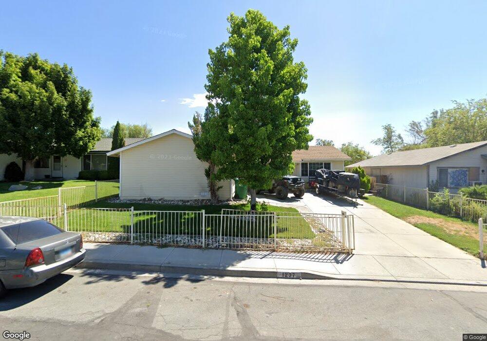
1237 Stanford Dr Carson City, NV 89701
New Empire NeighborhoodEstimated Value: $322,000 - $407,328
3
Beds
2
Baths
1,152
Sq Ft
$325/Sq Ft
Est. Value
About This Home
This home is located at 1237 Stanford Dr, Carson City, NV 89701 and is currently estimated at $374,332, approximately $324 per square foot. 1237 Stanford Dr is a home located in Carson City with nearby schools including Empire Elementary School, Eagle Valley Middle School, and Carson High School.
Ownership History
Date
Name
Owned For
Owner Type
Purchase Details
Closed on
Nov 9, 2011
Sold by
Gomes Harold P and Gomes Denise S
Bought by
Ky Mu and Sen Gozali
Current Estimated Value
Purchase Details
Closed on
May 9, 2005
Sold by
Perez Oswaldo Rene and Perez Lourdes
Bought by
Gomes Harold P and Gomes Denise S
Home Financials for this Owner
Home Financials are based on the most recent Mortgage that was taken out on this home.
Original Mortgage
$253,085
Interest Rate
5.84%
Mortgage Type
VA
Create a Home Valuation Report for This Property
The Home Valuation Report is an in-depth analysis detailing your home's value as well as a comparison with similar homes in the area
Home Values in the Area
Average Home Value in this Area
Purchase History
| Date | Buyer | Sale Price | Title Company |
|---|---|---|---|
| Ky Mu | $95,000 | Northern Nevada Title Co | |
| Gomes Harold P | $246,500 | First Centennial Title Co Nv |
Source: Public Records
Mortgage History
| Date | Status | Borrower | Loan Amount |
|---|---|---|---|
| Previous Owner | Gomes Harold P | $253,085 |
Source: Public Records
Tax History Compared to Growth
Tax History
| Year | Tax Paid | Tax Assessment Tax Assessment Total Assessment is a certain percentage of the fair market value that is determined by local assessors to be the total taxable value of land and additions on the property. | Land | Improvement |
|---|---|---|---|---|
| 2025 | $1,734 | $61,525 | $24,500 | $37,025 |
| 2024 | $1,620 | $62,478 | $24,500 | $37,978 |
| 2023 | $1,500 | $59,997 | $24,500 | $35,497 |
| 2022 | $1,389 | $53,531 | $21,000 | $32,531 |
| 2021 | $1,287 | $49,412 | $17,500 | $31,912 |
| 2020 | $1,287 | $46,110 | $14,350 | $31,760 |
| 2019 | $1,196 | $45,950 | $14,350 | $31,600 |
| 2018 | $1,141 | $43,171 | $13,300 | $29,871 |
| 2017 | $1,095 | $42,360 | $12,425 | $29,935 |
| 2016 | $1,068 | $40,805 | $10,150 | $30,655 |
| 2015 | $1,066 | $33,856 | $9,258 | $24,598 |
| 2014 | $1,032 | $31,086 | $8,050 | $23,036 |
Source: Public Records
Map
Nearby Homes
- 3523 Stanton Dr
- 1329 Stanford Dr
- 3905 Pheasant Dr
- 1051 Cascade Dr
- 3913 Pheasant Dr
- 3932 Village Dr
- 1402 La Loma Dr
- 3954 Village Dr
- 4057 Quinn Dr
- 4070 Quinn Dr
- 61 Condor Cir
- 1628 Brown St
- 3400 Woodside Dr Unit 23
- 3182 Shriver Dr
- 3316 Woodside Dr Unit 14
- 3316 Woodside Dr Unit 16
- 855 Sundance Ct
- 1325 N Green Ct
- 1328 N Green Ct
- 1808 Rock Ct
- 1215 Stanford Dr
- 1261 Stanford Dr
- 1236 Ladera Dr
- 1212 Ladera Dr
- 1260 Ladera Dr
- 1199 Stanford Dr
- 1279 Stanford Dr
- 1234 Stanford Dr
- 1198 Ladera Dr
- 1258 Stanford Dr
- 1278 Ladera Dr
- 1210 Stanford Dr
- 1175 Stanford Dr
- 1196 Stanford Dr
- 1276 Stanford Dr
- 1174 Ladera Dr
- 3567 Stanton Dr
- 1172 Stanford Dr
- 1151 Stanford Dr
- 3465 Stanton Dr