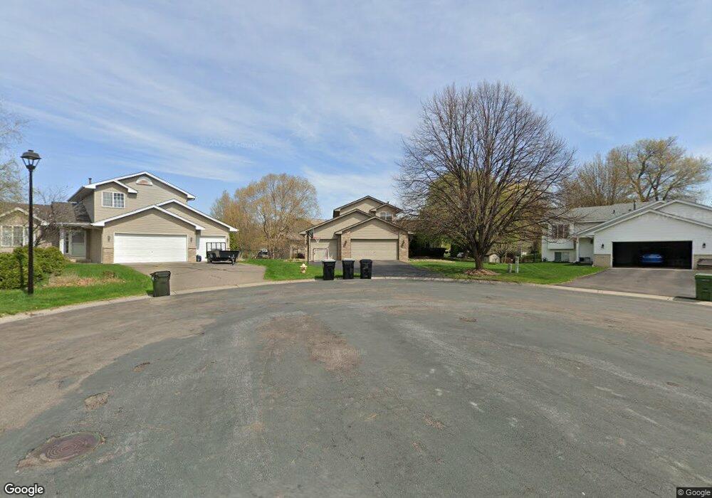
12375 Swallow St NW Coon Rapids, MN 55448
Estimated Value: $445,000 - $488,000
4
Beds
3
Baths
1,824
Sq Ft
$256/Sq Ft
Est. Value
About This Home
This home is located at 12375 Swallow St NW, Coon Rapids, MN 55448 and is currently estimated at $466,158, approximately $255 per square foot. 12375 Swallow St NW is a home located in Anoka County with nearby schools including Lucile Bruner Elementary School, Hoover Elementary School, and Laughlin Junior/Senior High School.
Ownership History
Date
Name
Owned For
Owner Type
Purchase Details
Closed on
Dec 14, 2007
Sold by
Steiner Melissa M and Steiner William D
Bought by
Mazurek Andrew A and Mazurek Kristy J
Current Estimated Value
Home Financials for this Owner
Home Financials are based on the most recent Mortgage that was taken out on this home.
Original Mortgage
$277,213
Outstanding Balance
$175,555
Interest Rate
6.31%
Mortgage Type
FHA
Estimated Equity
$290,603
Purchase Details
Closed on
Dec 7, 1998
Sold by
Tsm Development Inc
Bought by
Shade Tree Construction Inc
Create a Home Valuation Report for This Property
The Home Valuation Report is an in-depth analysis detailing your home's value as well as a comparison with similar homes in the area
Home Values in the Area
Average Home Value in this Area
Purchase History
| Date | Buyer | Sale Price | Title Company |
|---|---|---|---|
| Mazurek Andrew A | $282,000 | -- | |
| Shade Tree Construction Inc | $41,900 | -- |
Source: Public Records
Mortgage History
| Date | Status | Borrower | Loan Amount |
|---|---|---|---|
| Open | Mazurek Andrew A | $277,213 |
Source: Public Records
Tax History Compared to Growth
Tax History
| Year | Tax Paid | Tax Assessment Tax Assessment Total Assessment is a certain percentage of the fair market value that is determined by local assessors to be the total taxable value of land and additions on the property. | Land | Improvement |
|---|---|---|---|---|
| 2025 | $4,589 | $417,600 | $94,800 | $322,800 |
| 2024 | $4,589 | $429,500 | $104,800 | $324,700 |
| 2023 | $4,077 | $417,600 | $90,400 | $327,200 |
| 2022 | $3,703 | $411,000 | $77,200 | $333,800 |
| 2021 | $3,700 | $334,300 | $65,100 | $269,200 |
| 2020 | $3,962 | $326,400 | $69,500 | $256,900 |
| 2019 | $3,707 | $333,700 | $73,900 | $259,800 |
| 2018 | $3,649 | $304,800 | $0 | $0 |
| 2017 | $3,114 | $291,200 | $0 | $0 |
| 2016 | $3,129 | $243,600 | $0 | $0 |
| 2015 | -- | $243,600 | $56,100 | $187,500 |
| 2014 | -- | $219,800 | $55,300 | $164,500 |
Source: Public Records
Map
Nearby Homes
- 2068 124th Ln NW
- 2147 125th Ln NW
- 12760 Raven St NW
- 2675 128th Ave NW
- 1930 127th Cir NW
- 12365 Jay St NW
- 12019 Zion St NW
- 1727 121st Ln NW
- 12888 Nightingale St NW
- 12554 Grouse St NW
- 12759 Ibis St NW
- 1593 126th Ln NW
- 12463 Drake St NW
- 11749 Crooked Lake Blvd NW
- 12010 Eagle St NW
- 3074 121st Ave NW
- 1450 126th Ln NW
- 13182 Zion St NW
- 1520 129th Ave NW
- 1449 119th Ln NW
- 12378 Swallow St NW
- 12361 Swallow St NW
- 12411 Swallow Cir NW
- 12364 Swallow St NW
- 12408 Swallow Cir NW
- 2245 123rd Ln NW
- 12380 Raven St NW
- 12394 Raven St NW
- 12425 Swallow Cir NW
- 12366 Raven St NW
- 12350 Swallow St NW
- 12408 Raven St NW
- 12422 Swallow Cir NW
- 12352 Raven St NW
- 12357 Thrush St NW
- 12351 Thrush St NW
- 12363 Thrush St NW
- 12422 Raven St NW
- 12439 Swallow Cir NW
- 12436 Swallow Cir NW