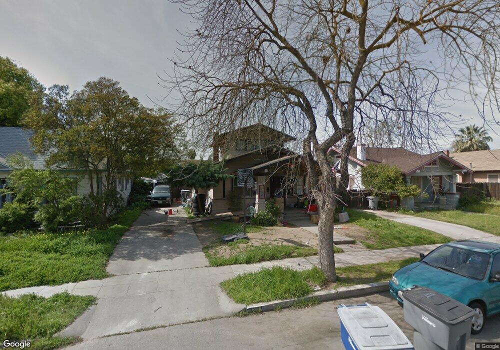
1239 N Ferger Ave Fresno, CA 93728
Tower District NeighborhoodEstimated Value: $215,000 - $339,000
3
Beds
1
Bath
1,090
Sq Ft
$250/Sq Ft
Est. Value
About This Home
This home is located at 1239 N Ferger Ave, Fresno, CA 93728 and is currently estimated at $272,952, approximately $250 per square foot. 1239 N Ferger Ave is a home located in Fresno County with nearby schools including Muir Elementary, Fort Miller Middle School, and Fresno High School.
Ownership History
Date
Name
Owned For
Owner Type
Purchase Details
Closed on
Feb 24, 2004
Sold by
Hovannisian Vernon and Hovannisian Carol
Bought by
Hovannisian Vernon and Hovannisian Carol
Current Estimated Value
Purchase Details
Closed on
Apr 24, 2002
Sold by
The Bank Of New York
Bought by
Hovannisian Vernon and Hovannisian Carol
Purchase Details
Closed on
Dec 19, 2001
Sold by
Grimaldo Lupe R
Bought by
The Bank Of New York
Purchase Details
Closed on
Jul 26, 1993
Sold by
Central Pacific Mtg Company
Bought by
Hud
Create a Home Valuation Report for This Property
The Home Valuation Report is an in-depth analysis detailing your home's value as well as a comparison with similar homes in the area
Home Values in the Area
Average Home Value in this Area
Purchase History
| Date | Buyer | Sale Price | Title Company |
|---|---|---|---|
| Hovannisian Vernon | -- | -- | |
| Hovannisian Vernon | $37,000 | Fidelity National Title Co | |
| The Bank Of New York | -- | Fidelity National Title | |
| Hud | -- | Fidelity National Title |
Source: Public Records
Tax History Compared to Growth
Tax History
| Year | Tax Paid | Tax Assessment Tax Assessment Total Assessment is a certain percentage of the fair market value that is determined by local assessors to be the total taxable value of land and additions on the property. | Land | Improvement |
|---|---|---|---|---|
| 2025 | $1,003 | $73,842 | $36,921 | $36,921 |
| 2023 | $949 | $70,978 | $35,489 | $35,489 |
| 2022 | $936 | $69,588 | $34,794 | $34,794 |
| 2021 | $912 | $68,224 | $34,112 | $34,112 |
| 2020 | $908 | $67,526 | $33,763 | $33,763 |
| 2019 | $874 | $66,202 | $33,101 | $33,101 |
| 2018 | $856 | $64,904 | $32,452 | $32,452 |
| 2017 | $842 | $63,632 | $31,816 | $31,816 |
| 2016 | $816 | $62,386 | $31,193 | $31,193 |
| 2015 | $804 | $61,450 | $30,725 | $30,725 |
| 2014 | $787 | $60,248 | $30,124 | $30,124 |
Source: Public Records
Map
Nearby Homes
- 1317 N Wilson Ave
- 1327 N Ferger Ave
- 1271 N Roosevelt Ave
- 1224 N Roosevelt Ave
- 1010 N Ferger Ave
- 1371 N Roosevelt Ave
- 0 W Olive Ave Unit 633534
- 33 W Olive Ave
- 37 W Olive Ave
- 1451 N Harrison Ave
- 930 N Roosevelt Ave
- 1036 N Adoline Ave
- 1103 N Adoline Ave
- 1487 N Echo Ave
- 605 E Home Ave
- 1592 N Ferger Ave
- 630 E Dudley Ave
- 728 N Farris Ave
- 963 N Arthur Ave
- 630 N Roosevelt Ave
- 1233 N Ferger Ave
- 1247 N Ferger Ave
- 1255 N Ferger Ave
- 1261 N Ferger Ave
- 1238 N Ferger Ave
- 1242 N Ferger Ave
- 1271 N Ferger Ave
- 1235 N Palm Ave
- 1250 N Ferger Ave
- 1245 N Palm Ave
- 1225 N Palm Ave
- 1249 N Palm Ave
- 1218 N Ferger Ave
- 1219 N Palm Ave
- 1262 N Ferger Ave
- 1259 N Palm Ave
- 1281 N Ferger Ave
- 1268 N Ferger Ave
- 1267 N Palm Ave
- 1278 N Ferger Ave