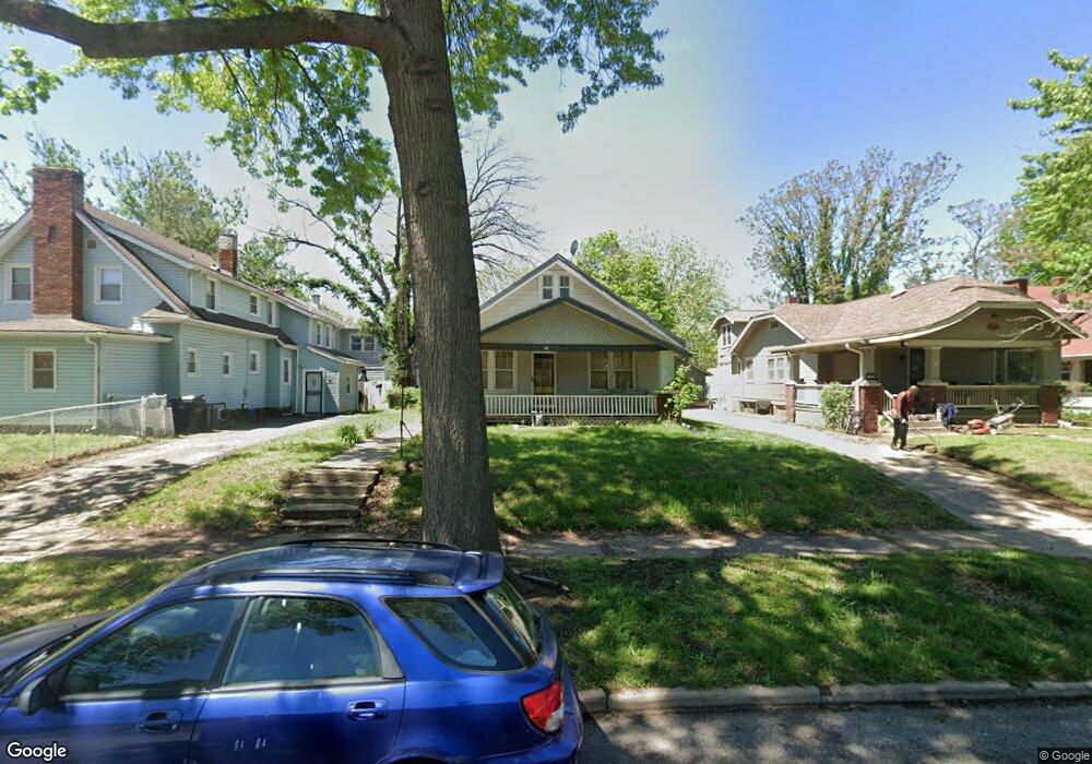
1239 SW Woodward Ave Topeka, KS 66604
Norton NeighborhoodEstimated Value: $86,000 - $139,000
2
Beds
1
Bath
1,014
Sq Ft
$113/Sq Ft
Est. Value
About This Home
This home is located at 1239 SW Woodward Ave, Topeka, KS 66604 and is currently estimated at $114,320, approximately $112 per square foot. 1239 SW Woodward Ave is a home located in Shawnee County with nearby schools including Lowman Hill Elementary School, Landon Middle School, and Topeka High School.
Ownership History
Date
Name
Owned For
Owner Type
Purchase Details
Closed on
Feb 29, 2024
Sold by
Grinnell Reed Street Apartments Llc
Bought by
Lorch Wesley
Current Estimated Value
Home Financials for this Owner
Home Financials are based on the most recent Mortgage that was taken out on this home.
Original Mortgage
$60,000
Outstanding Balance
$58,996
Interest Rate
6.6%
Mortgage Type
New Conventional
Estimated Equity
$55,324
Purchase Details
Closed on
May 8, 2017
Sold by
Carper James Lloyd and Doe Jane Doe
Bought by
Us Abnk Na
Create a Home Valuation Report for This Property
The Home Valuation Report is an in-depth analysis detailing your home's value as well as a comparison with similar homes in the area
Home Values in the Area
Average Home Value in this Area
Purchase History
| Date | Buyer | Sale Price | Title Company |
|---|---|---|---|
| Lorch Wesley | -- | Heartland Title | |
| Us Abnk Na | -- | None Available |
Source: Public Records
Mortgage History
| Date | Status | Borrower | Loan Amount |
|---|---|---|---|
| Open | Lorch Wesley | $60,000 |
Source: Public Records
Tax History Compared to Growth
Tax History
| Year | Tax Paid | Tax Assessment Tax Assessment Total Assessment is a certain percentage of the fair market value that is determined by local assessors to be the total taxable value of land and additions on the property. | Land | Improvement |
|---|---|---|---|---|
| 2025 | $1,469 | $11,349 | -- | -- |
| 2023 | $1,469 | $10,298 | $0 | $0 |
| 2022 | $1,293 | $8,954 | $0 | $0 |
| 2021 | $1,200 | $7,786 | $0 | $0 |
| 2020 | $1,163 | $7,636 | $0 | $0 |
| 2019 | $1,146 | $7,487 | $0 | $0 |
| 2018 | $1,113 | $7,268 | $0 | $0 |
| 2017 | $1,115 | $7,268 | $0 | $0 |
| 2014 | $1,127 | $7,268 | $0 | $0 |
Source: Public Records
Map
Nearby Homes
- 1180 SW Woodward Ave
- 1222 SW Wayne Ave
- 1191 SW MacVicar Ave
- 1191 SW Boswell Ave
- 1801 SW Huntoon St
- 1181 SW MacVicar Ave
- 1320 SW MacVicar Ave
- 1156 SW Woodward Ave
- 1164 SW MacVicar Ave
- 1327 SW College Ave
- 2516 SW Huntoon St
- 1432 SW MacVicar Ave
- 1224 SW Garfield Ave
- 1196 SW Garfield Ave
- 1717 SW 15th St
- 1533 SW MacVicar Ave
- 1022 SW MacVicar Ave
- 1600 SW Jewell Ave
- 1610 SW Plass Ave
- 1531 SW 15th St
- 1235 SW Woodward Ave
- 2100 SW Huntoon St
- 2108 SW Huntoon St
- 1231 SW Woodward Ave
- 1238 SW Plass Ave
- 1234 SW Plass Ave
- 1227 SW Woodward Ave
- 2116 SW Huntoon St
- 1232 SW Plass Ave
- 1248 SW Plass Ave
- 1236 SW Woodward Ave
- 1244 SW Woodward Ave
- 1234 SW Woodward Ave
- 1225 SW Woodward Ave
- 2115 SW Huntoon St
- 1224 SW Plass Ave
- 2111 SW Huntoon St
- 1230 SW Woodward Ave
- 1250 SW Plass Ave
- 2109 SW Huntoon St