12392 Coastal Hwy Milton, DE 19968
Estimated Value: $435,694 - $578,000
2
Beds
--
Bath
2,037
Sq Ft
$249/Sq Ft
Est. Value
About This Home
This home is located at 12392 Coastal Hwy, Milton, DE 19968 and is currently estimated at $508,174, approximately $249 per square foot. 12392 Coastal Hwy is a home located in Sussex County with nearby schools including H.O. Brittingham Elementary School, Beacon Middle School, and Cape Henlopen High School.
Ownership History
Date
Name
Owned For
Owner Type
Purchase Details
Closed on
Jul 12, 2024
Sold by
Argo James M and Argo Randi L
Bought by
Argo Brandon Michael
Current Estimated Value
Home Financials for this Owner
Home Financials are based on the most recent Mortgage that was taken out on this home.
Original Mortgage
$223,500
Outstanding Balance
$220,831
Interest Rate
6.99%
Mortgage Type
New Conventional
Estimated Equity
$287,343
Purchase Details
Closed on
Jun 5, 2024
Sold by
Argo James M and Argo Randi L
Bought by
Argo James M and Argo Randi L
Home Financials for this Owner
Home Financials are based on the most recent Mortgage that was taken out on this home.
Original Mortgage
$223,500
Outstanding Balance
$220,831
Interest Rate
6.99%
Mortgage Type
New Conventional
Estimated Equity
$287,343
Purchase Details
Closed on
Feb 1, 2021
Sold by
W Eugene Argo Irt
Bought by
Argo James M and Argo Randi L
Purchase Details
Closed on
Dec 9, 1993
Bought by
Smith Christie M (Trustee)
Create a Home Valuation Report for This Property
The Home Valuation Report is an in-depth analysis detailing your home's value as well as a comparison with similar homes in the area
Home Values in the Area
Average Home Value in this Area
Purchase History
| Date | Buyer | Sale Price | Title Company |
|---|---|---|---|
| Argo Brandon Michael | -- | None Listed On Document | |
| Argo James M | -- | None Listed On Document | |
| Argo James M | -- | None Available | |
| Smith Christie M (Trustee) | -- | -- |
Source: Public Records
Mortgage History
| Date | Status | Borrower | Loan Amount |
|---|---|---|---|
| Open | Argo Brandon Michael | $223,500 |
Source: Public Records
Tax History Compared to Growth
Tax History
| Year | Tax Paid | Tax Assessment Tax Assessment Total Assessment is a certain percentage of the fair market value that is determined by local assessors to be the total taxable value of land and additions on the property. | Land | Improvement |
|---|---|---|---|---|
| 2025 | $940 | $16,400 | $1,500 | $14,900 |
| 2024 | $808 | $16,400 | $1,500 | $14,900 |
| 2023 | $808 | $16,400 | $1,500 | $14,900 |
| 2022 | $779 | $16,400 | $1,500 | $14,900 |
| 2021 | $772 | $16,400 | $1,500 | $14,900 |
| 2020 | $443 | $16,400 | $1,500 | $14,900 |
| 2019 | $444 | $16,400 | $1,500 | $14,900 |
| 2018 | $419 | $16,400 | $0 | $0 |
| 2017 | $690 | $16,400 | $0 | $0 |
| 2016 | $392 | $16,400 | $0 | $0 |
| 2015 | $376 | $16,400 | $0 | $0 |
| 2014 | $370 | $16,400 | $0 | $0 |
Source: Public Records
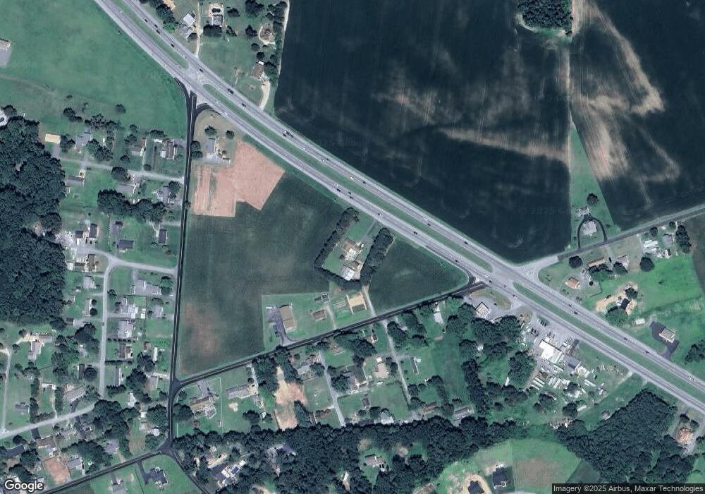
Map
Nearby Homes
- 27025 Whistling Duck Way
- 28005 Tundra Drive - Lot #42
- 28007
- 22557 Hartschorn Dr
- Lot 2 Primehook Rd
- 26770 Deep Branch Rd
- 22 E Greenwing Dr
- 14141 Union St
- 14161 Union Street Extension
- 14198 Union St
- Lot Walls Rd
- 14242 Union Street Extension
- 24700 Broadkill Rd
- 14300 Morris Ave
- 406 Boxwood St
- 310 Holland St
- 28059 Broadkill Rd
- 0 Slim St
- 24031 W Cypress Way
- BRISTOL Plan at Woodfield Preserve
- 12392 Coastal Hwy
- 25716 Deep Branch Rd
- 25704 Deep Branch Rd
- 25752 Deep Branch Rd
- 0000 Willow St
- 25686 Deep Branch Rd
- 12537 Willow St
- 12555 Pine St
- 25676 Deep Branch Rd
- 0 Deep Branch Rd Unit 4 1001015492
- 2 Deep Branch Rd Unit 2
- 12554 Willow St
- 25776 Deep Branch Rd
- 12555 Willow St
- 12567 Pine St
- 25654 Deep Branch Rd
- 0 Thomas St Unit 1000998340
- 0 Thomas St Unit DESU172120
- 12326 Reynolds Rd
- lot 1, 2 a Reynolds Rd Unit 1+2+3