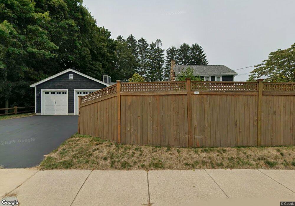
124 Freeman St Norton, MA 02766
Estimated Value: $609,588 - $722,000
4
Beds
2
Baths
2,272
Sq Ft
$297/Sq Ft
Est. Value
About This Home
This home is located at 124 Freeman St, Norton, MA 02766 and is currently estimated at $673,897, approximately $296 per square foot. 124 Freeman St is a home located in Bristol County with nearby schools including J.C. Solmonese Elementary School, Henri A. Yelle Elementary School, and Norton Middle School.
Ownership History
Date
Name
Owned For
Owner Type
Purchase Details
Closed on
Feb 27, 2022
Sold by
Gedgaudas Catherine E
Bought by
Catherine E Gedgaudas Lt
Current Estimated Value
Purchase Details
Closed on
Aug 8, 2001
Sold by
Buckley James H and Buckley Nancy J
Bought by
Pigott William J
Create a Home Valuation Report for This Property
The Home Valuation Report is an in-depth analysis detailing your home's value as well as a comparison with similar homes in the area
Home Values in the Area
Average Home Value in this Area
Purchase History
| Date | Buyer | Sale Price | Title Company |
|---|---|---|---|
| Catherine E Gedgaudas Lt | -- | None Available | |
| Gedgaudas Catherine E | -- | None Available | |
| Pigott William J | $243,342 | -- |
Source: Public Records
Mortgage History
| Date | Status | Borrower | Loan Amount |
|---|---|---|---|
| Previous Owner | Pigott William J | $140,000 | |
| Previous Owner | Pigott William J | $90,000 |
Source: Public Records
Tax History
| Year | Tax Paid | Tax Assessment Tax Assessment Total Assessment is a certain percentage of the fair market value that is determined by local assessors to be the total taxable value of land and additions on the property. | Land | Improvement |
|---|---|---|---|---|
| 2025 | $63 | $483,800 | $181,800 | $302,000 |
| 2024 | $5,945 | $459,100 | $173,200 | $285,900 |
| 2023 | $5,599 | $431,000 | $163,300 | $267,700 |
| 2022 | $5,416 | $379,800 | $148,500 | $231,300 |
| 2021 | $5,121 | $343,000 | $141,400 | $201,600 |
| 2020 | $4,930 | $333,100 | $137,300 | $195,800 |
| 2019 | $4,775 | $320,500 | $132,100 | $188,400 |
| 2018 | $4,627 | $305,200 | $132,100 | $173,100 |
| 2017 | $4,494 | $292,400 | $132,100 | $160,300 |
| 2016 | $4,341 | $278,100 | $132,100 | $146,000 |
| 2015 | $4,186 | $272,000 | $129,500 | $142,500 |
| 2014 | $3,984 | $259,200 | $123,300 | $135,900 |
Source: Public Records
Map
Nearby Homes
- 93 Mansfield Ave
- 157 Mansfield Ave Unit 14
- 95 Godfrey Dr
- 5 Robin Cir Unit 5
- 65 Godfrey Dr Unit 65
- 343 Godfrey Dr
- 21 Juniper Rd
- 268 Reservoir St
- 0 Brook Pkwy
- 250 Mansfield Ave Unit 11
- 0 Cobb St
- 143 Oak St Unit 10
- 19 Barberry Rd
- 20 Lloyd Cir Unit 32
- 14 Lloyd Cir Unit 29
- 26 Barrows Ct
- 34 Barrows St
- 2 Edgewater Dr Unit 2
- 90 Pine St
- 0 S Washington St Unit 73437419
- 114 Mansfield Ave
- 123 Freeman St
- 112 Mansfield Ave
- 121 Freeman St
- 122 Freeman St
- 119 Freeman St
- 113 Mansfield Ave
- 120 Mansfield Ave
- 117 Freeman St
- 116 Freeman St
- 115 Freeman St
- 126 Mansfield Ave Unit 1
- 126 Mansfield Ave
- 116-120 Mansfield Ave
- 116 Mansfield Ave
- 113 Freeman St
- 123 Mansfield Ave
- 111 Freeman St
- 6 Robinson Ln
- 130 Mansfield Ave Unit B
Your Personal Tour Guide
Ask me questions while you tour the home.