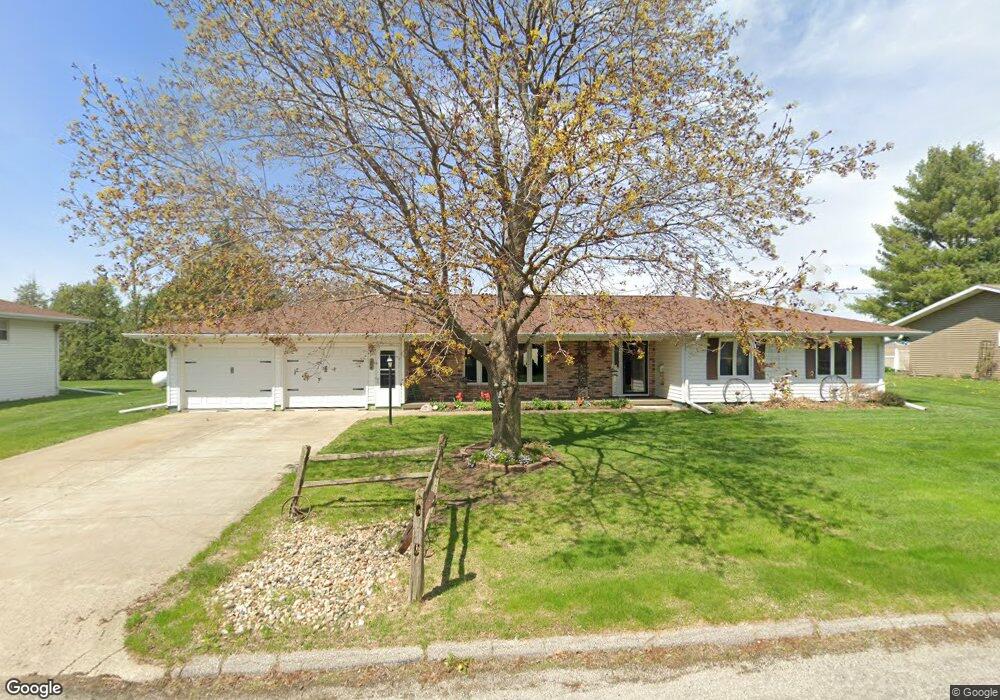
124 N Locust St Bennett, IA 52721
Estimated Value: $244,000 - $339,000
4
Beds
2
Baths
2,496
Sq Ft
$116/Sq Ft
Est. Value
About This Home
This home is located at 124 N Locust St, Bennett, IA 52721 and is currently estimated at $288,701, approximately $115 per square foot. 124 N Locust St is a home located in Cedar County with nearby schools including Bennett Elementary School.
Ownership History
Date
Name
Owned For
Owner Type
Purchase Details
Closed on
Jan 4, 2021
Sold by
Ddjjm Llc
Bought by
Schroeder Gene H
Current Estimated Value
Home Financials for this Owner
Home Financials are based on the most recent Mortgage that was taken out on this home.
Original Mortgage
$671,969
Outstanding Balance
$209,648
Interest Rate
2.7%
Mortgage Type
New Conventional
Estimated Equity
$79,053
Create a Home Valuation Report for This Property
The Home Valuation Report is an in-depth analysis detailing your home's value as well as a comparison with similar homes in the area
Purchase History
| Date | Buyer | Sale Price | Title Company |
|---|---|---|---|
| Schroeder Gene H | $65,000 | None Listed On Document |
Source: Public Records
Mortgage History
| Date | Status | Borrower | Loan Amount |
|---|---|---|---|
| Open | Schroeder Gene H | $671,969 |
Source: Public Records
Tax History
| Year | Tax Paid | Tax Assessment Tax Assessment Total Assessment is a certain percentage of the fair market value that is determined by local assessors to be the total taxable value of land and additions on the property. | Land | Improvement |
|---|---|---|---|---|
| 2025 | $4,314 | $357,930 | $17,280 | $340,650 |
| 2024 | $4,314 | $290,600 | $17,280 | $273,320 |
| 2023 | $3,892 | $283,010 | $17,280 | $265,730 |
| 2022 | $3,404 | $214,170 | $17,280 | $196,890 |
| 2021 | $3,488 | $214,170 | $17,280 | $196,890 |
| 2020 | $3,492 | $214,170 | $17,280 | $196,890 |
| 2019 | $3,262 | $188,860 | $0 | $0 |
| 2018 | $3,152 | $188,860 | $0 | $0 |
| 2017 | $2,682 | $157,790 | $0 | $0 |
| 2016 | $2,620 | $157,790 | $0 | $0 |
| 2015 | $2,702 | $154,560 | $0 | $0 |
| 2014 | $2,592 | $154,560 | $0 | $0 |
Source: Public Records
Map
Nearby Homes
- 235 Main St
- 2248 250th St
- 1614 270th St
- 2239 290th St
- Lot 37 280th St
- Lot 42 280th St
- Lot 38 280th St
- Lot 14 Linda Ln
- Lot 13 Linda Ln
- 475 Rhonda Rd
- 445 Rhonda Rd
- 455 Rhonda Rd
- Lot 29 Rhonda Rd
- Lot 35 Rhonda Rd
- Lot 36 Rhonda Rd
- 0 200th St Unit NOC6335338
- 829 Union Ave
- 1748 190th St
- 1394 210th St
- 320 East St
- 135 N Locust St
- 112 N Locust St
- 108 N Locust St
- 123 N Locust St
- 115 N Locust St
- 100 S Locust St
- 410 W 1st St
- 110 S Locust St
- 327 W 1st St
- 405 W 1st St
- 114 S Locust St
- 111 S Locust St
- 121 S Locust St
- 116 S Locust St
- 315 W 1st St
- 122 S Locust St
- 123 S Locust St
- 303 W 1st St
- 100 Cedar St
- 125 S Locust St
Your Personal Tour Guide
Ask me questions while you tour the home.