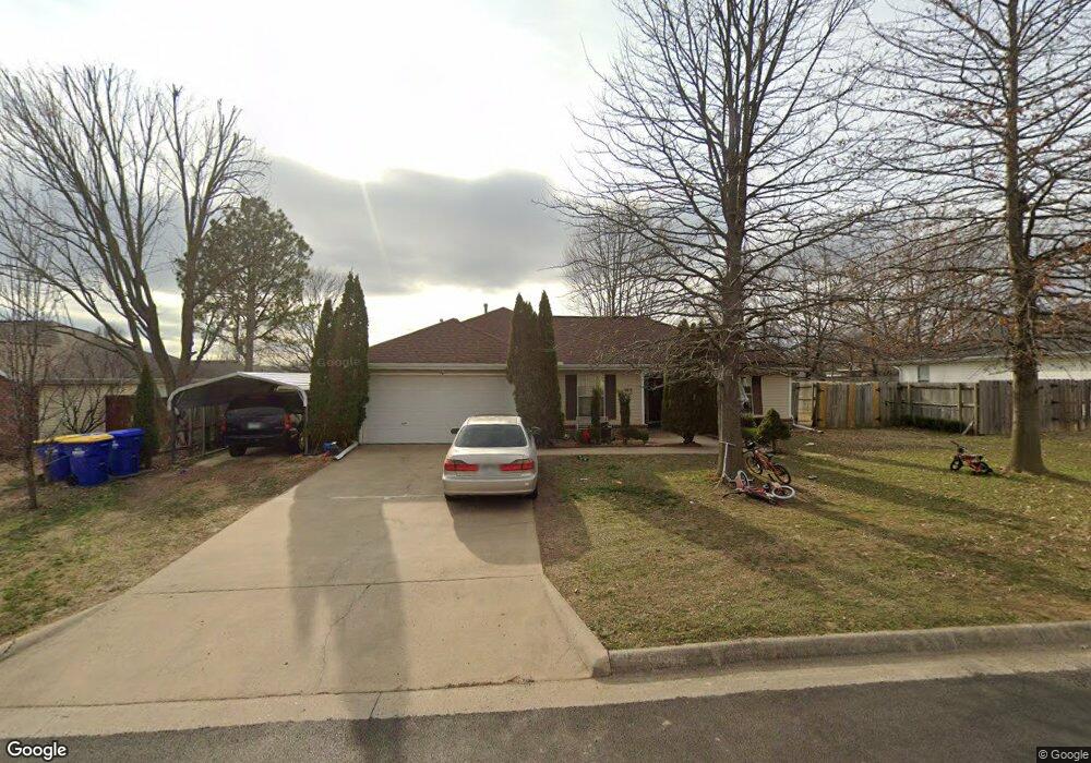
124 N Michael St Lowell, AR 72745
Estimated Value: $279,617 - $297,000
3
Beds
2
Baths
1,496
Sq Ft
$194/Sq Ft
Est. Value
About This Home
This home is located at 124 N Michael St, Lowell, AR 72745 and is currently estimated at $290,654, approximately $194 per square foot. 124 N Michael St is a home located in Benton County with nearby schools including Lowell Elementary School, Kirksey Middle School, and Rogers High School.
Ownership History
Date
Name
Owned For
Owner Type
Purchase Details
Closed on
May 31, 2005
Sold by
Whedbee Richard M and Whedbee Kimberly D
Bought by
Garcia Silverstre
Current Estimated Value
Home Financials for this Owner
Home Financials are based on the most recent Mortgage that was taken out on this home.
Original Mortgage
$124,850
Outstanding Balance
$64,846
Interest Rate
5.78%
Mortgage Type
FHA
Estimated Equity
$225,808
Purchase Details
Closed on
Dec 29, 1997
Bought by
Whedbee
Purchase Details
Closed on
Oct 6, 1997
Bought by
Riggins Prop
Create a Home Valuation Report for This Property
The Home Valuation Report is an in-depth analysis detailing your home's value as well as a comparison with similar homes in the area
Home Values in the Area
Average Home Value in this Area
Purchase History
| Date | Buyer | Sale Price | Title Company |
|---|---|---|---|
| Garcia Silverstre | $126,000 | Waco Title Company | |
| Whedbee | $74,000 | -- | |
| Riggins Prop | $16,000 | -- |
Source: Public Records
Mortgage History
| Date | Status | Borrower | Loan Amount |
|---|---|---|---|
| Open | Garcia Silverstre | $124,850 |
Source: Public Records
Tax History Compared to Growth
Tax History
| Year | Tax Paid | Tax Assessment Tax Assessment Total Assessment is a certain percentage of the fair market value that is determined by local assessors to be the total taxable value of land and additions on the property. | Land | Improvement |
|---|---|---|---|---|
| 2025 | $1,755 | $51,591 | $15,200 | $36,391 |
| 2024 | $1,552 | $51,591 | $15,200 | $36,391 |
| 2023 | $1,478 | $33,220 | $7,200 | $26,020 |
| 2022 | $1,174 | $33,220 | $7,200 | $26,020 |
| 2021 | $1,098 | $33,220 | $7,200 | $26,020 |
| 2020 | $1,031 | $24,150 | $4,000 | $20,150 |
| 2019 | $994 | $24,150 | $4,000 | $20,150 |
| 2018 | $1,019 | $24,150 | $4,000 | $20,150 |
| 2017 | $928 | $24,150 | $4,000 | $20,150 |
| 2016 | $928 | $24,150 | $4,000 | $20,150 |
| 2015 | $1,203 | $22,620 | $4,400 | $18,220 |
| 2014 | $853 | $22,620 | $4,400 | $18,220 |
Source: Public Records
Map
Nearby Homes
- 608 Barbara Ave
- 105 S Brandon St
- 108 S Brandon St
- 423 Mayflower Ave
- 206 N Old Wire Rd
- 1105 Maclaren Ave
- 1101 Maclaren Ave
- 1103 Maclaren Ave
- 1116 Maclaren Ave
- 1102 Maclaren Ave
- 410 Homewood Place
- 615 Knight Ave
- 1001 Autumn Royal Ave
- 1000 Autumn Royal Ave
- 1004 Autumn Royal Ave
- 1041 Glenora Ave
- 1045 Glenora Ave
- 1028 Marquis Ave
- 0 Presidential Dr Unit 1317772
- 513 N Old Wire Rd
- 200 N Michael St
- 123 N Bailey St
- 125 N Bailey St
- 119 N Bailey St
- 118 N Michael St
- 123 N Michael St
- 201 N Michael St
- 121 N Michael St
- 201 N Bailey St
- 205 N Michael St
- 114 N Michael St
- 115 N Bailey St
- 117 N Michael St
- 205 N Bailey St
- 118 N Bailey St
- 208 N Michael St
- 124 N Oak St
- 200 N Oak St
- 209 E Michael
- 209 N Michael St