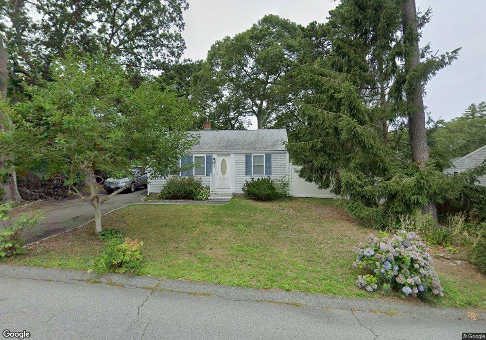
124 Williams Ave Pocasset, MA 02559
Pocasset NeighborhoodEstimated Value: $411,000 - $538,000
3
Beds
1
Bath
800
Sq Ft
$580/Sq Ft
Est. Value
About This Home
This home is located at 124 Williams Ave, Pocasset, MA 02559 and is currently estimated at $463,888, approximately $579 per square foot. 124 Williams Ave is a home located in Barnstable County with nearby schools including Bourne High School, Cadence Academy Preschool - Bourne, and St Margaret Regional School.
Ownership History
Date
Name
Owned For
Owner Type
Purchase Details
Closed on
Nov 14, 2023
Sold by
Davis Patricia
Bought by
Williams Ave Rt and Davis
Current Estimated Value
Purchase Details
Closed on
May 4, 1998
Sold by
Fitzmaurice Scott A
Bought by
Davis Patricia
Purchase Details
Closed on
Apr 14, 1998
Sold by
Kasenow Kathleen J
Bought by
Fitzmaurice Scott A
Create a Home Valuation Report for This Property
The Home Valuation Report is an in-depth analysis detailing your home's value as well as a comparison with similar homes in the area
Home Values in the Area
Average Home Value in this Area
Purchase History
| Date | Buyer | Sale Price | Title Company |
|---|---|---|---|
| Williams Ave Rt | -- | None Available | |
| Williams Ave Rt | -- | None Available | |
| Davis Patricia | $103,000 | -- | |
| Davis Patricia | $103,000 | -- | |
| Fitzmaurice Scott A | $50,000 | -- | |
| Fitzmaurice Scott A | $50,000 | -- |
Source: Public Records
Mortgage History
| Date | Status | Borrower | Loan Amount |
|---|---|---|---|
| Previous Owner | Fitzmaurice Scott A | $67,000 | |
| Previous Owner | Fitzmaurice Scott A | $76,000 | |
| Previous Owner | Fitzmaurice Scott A | $75,000 |
Source: Public Records
Tax History
| Year | Tax Paid | Tax Assessment Tax Assessment Total Assessment is a certain percentage of the fair market value that is determined by local assessors to be the total taxable value of land and additions on the property. | Land | Improvement |
|---|---|---|---|---|
| 2025 | $2,914 | $373,100 | $235,600 | $137,500 |
| 2024 | $2,849 | $355,200 | $224,300 | $130,900 |
| 2023 | $2,640 | $299,700 | $183,800 | $115,900 |
| 2022 | $2,504 | $248,200 | $156,200 | $92,000 |
| 2021 | $2,432 | $225,800 | $142,100 | $83,700 |
| 2020 | $2,364 | $220,100 | $140,800 | $79,300 |
| 2019 | $2,266 | $215,600 | $140,800 | $74,800 |
| 2018 | $2,127 | $201,800 | $134,100 | $67,700 |
| 2017 | $2,058 | $199,800 | $132,800 | $67,000 |
| 2016 | $1,857 | $182,800 | $127,300 | $55,500 |
| 2015 | $1,729 | $171,700 | $116,200 | $55,500 |
Source: Public Records
Map
Nearby Homes
- 7 4th Ave
- 3 4th Ave
- 3 1st St
- 709 County Rd
- 16 Michael Rd
- 254 Barlows Landing Rd
- 48 Red Brook Harbor Rd
- 14 Navajo Rd
- 1234 Route 28a
- 1234 Route 28a
- 566 Shore Rd
- 20 Colony Ave
- 15 Oak Ave
- 4 Harbor Hill Dr
- 31 Baxendale Rd
- 75 Winsor Rd
- 16 Amberwood Ct
- 203 County Rd
- 12 Turnberry Rd Unit 12
- 4 Hollyhock Knoll Ct Unit 4
- 128 Williams Ave
- 128 Williams Ave
- 120 Williams Ave
- 120 Williams Ave
- 42 Marjorie Ave
- 46 Marjorie Ave
- 38 Marjorie Ave
- 132 Williams Ave
- 116 Williams Ave
- 125 Williams Ave
- 125 Williams Ave Unit 1
- 125 Williams Ave Unit n/a
- 34 Marjorie Ave
- 121 Williams Ave
- 50 Marjorie Ave
- 117 Williams Ave
- 129 Williams Ave
- 133 Williams Ave
- 138 Williams Ave
- 45 Marjorie Ave
Your Personal Tour Guide
Ask me questions while you tour the home.