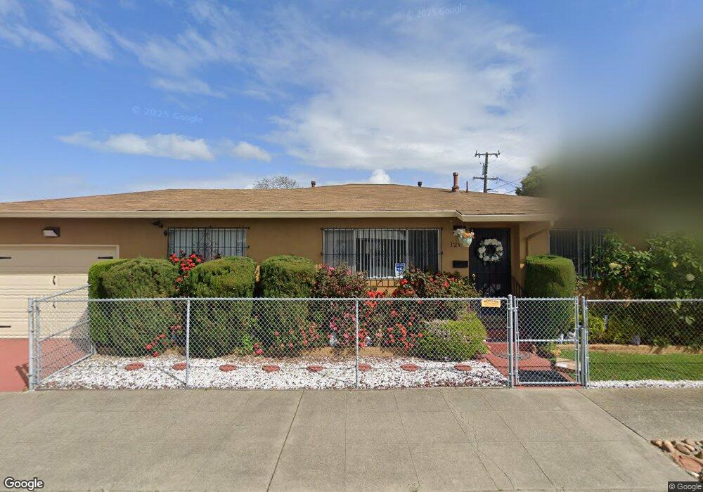
1240 Leo St Richmond, CA 94801
North Richmond NeighborhoodEstimated Value: $490,000 - $542,000
3
Beds
2
Baths
1,343
Sq Ft
$381/Sq Ft
Est. Value
About This Home
This home is located at 1240 Leo St, Richmond, CA 94801 and is currently estimated at $512,067, approximately $381 per square foot. 1240 Leo St is a home located in Contra Costa County with nearby schools including Verde Elementary School, Walter T. Helms Middle School, and Richmond High School.
Ownership History
Date
Name
Owned For
Owner Type
Purchase Details
Closed on
Apr 26, 2002
Sold by
Brown Marena L and Read Marena L Brown
Bought by
Brown Marena L
Current Estimated Value
Home Financials for this Owner
Home Financials are based on the most recent Mortgage that was taken out on this home.
Original Mortgage
$174,000
Outstanding Balance
$88,851
Interest Rate
9.99%
Mortgage Type
Purchase Money Mortgage
Estimated Equity
$423,216
Purchase Details
Closed on
Apr 30, 1997
Sold by
Brown Holcie B
Bought by
Read Marena L Brown
Create a Home Valuation Report for This Property
The Home Valuation Report is an in-depth analysis detailing your home's value as well as a comparison with similar homes in the area
Home Values in the Area
Average Home Value in this Area
Purchase History
| Date | Buyer | Sale Price | Title Company |
|---|---|---|---|
| Brown Marena L | -- | Commonwealth Land Title | |
| Read Marena L Brown | -- | -- |
Source: Public Records
Mortgage History
| Date | Status | Borrower | Loan Amount |
|---|---|---|---|
| Open | Brown Marena L | $174,000 |
Source: Public Records
Tax History
| Year | Tax Paid | Tax Assessment Tax Assessment Total Assessment is a certain percentage of the fair market value that is determined by local assessors to be the total taxable value of land and additions on the property. | Land | Improvement |
|---|---|---|---|---|
| 2025 | $1,622 | $36,211 | $7,905 | $28,306 |
| 2024 | $1,536 | $35,501 | $7,750 | $27,751 |
| 2023 | $1,536 | $34,806 | $7,599 | $27,207 |
| 2022 | $1,491 | $34,124 | $7,450 | $26,674 |
| 2021 | $1,451 | $33,455 | $7,304 | $26,151 |
| 2019 | $1,391 | $32,465 | $7,089 | $25,376 |
| 2018 | $1,315 | $31,829 | $6,950 | $24,879 |
| 2017 | $1,250 | $31,206 | $6,814 | $24,392 |
| 2016 | $1,183 | $30,595 | $6,681 | $23,914 |
| 2015 | $1,137 | $30,136 | $6,581 | $23,555 |
| 2014 | $1,136 | $29,547 | $6,453 | $23,094 |
Source: Public Records
Map
Nearby Homes
- 1319 Kelsey St
- 335 Chesley Ave
- 1318 Battery St
- 1517 2nd St
- 101 Sanford Ave
- 0 Alamo Ave
- 1633 Fred Jackson Way
- 1153 Rumrill Blvd Unit 17
- 1153 Rumrill Blvd Unit 78
- 1721 Giaramita St
- 174 Lucy Ln
- 1828 Truman St
- 1824 2nd St
- 1550 Rumrill Blvd
- 812 Market Ave
- 672 2nd St
- 1630 Pine Ave
- 653 2nd St
- 1741 Hellings Ave
- 641 9th St
- 435 Willard Ave
- 411 Willard Ave
- 430 Sanford Ave
- 501 Willard Ave
- 436 Sanford Ave
- 412 Sanford Ave
- 401 Willard Ave
- 430 Willard Ave
- 504 Sanford Ave
- 406 Sanford Ave
- 511 Willard Ave
- 438 Willard Ave
- 414 Willard Ave
- 335 Willard Ave
- 510 Sanford Ave
- 500 Willard Ave
- 338 Sanford Ave
- 400 Willard Ave
- 515 Willard Ave
- 510 Willard Ave
Your Personal Tour Guide
Ask me questions while you tour the home.