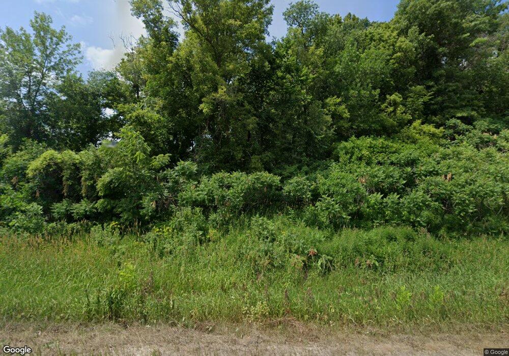
12405 Power Dam Rd NW Oronoco, MN 55960
Estimated Value: $519,000 - $759,902
4
Beds
4
Baths
1,640
Sq Ft
$411/Sq Ft
Est. Value
About This Home
This home is located at 12405 Power Dam Rd NW, Oronoco, MN 55960 and is currently estimated at $673,726, approximately $410 per square foot. 12405 Power Dam Rd NW is a home located in Olmsted County with nearby schools including Pine Island Elementary School and Pine Island Secondary School.
Ownership History
Date
Name
Owned For
Owner Type
Purchase Details
Closed on
Nov 22, 2019
Sold by
Stolp David E
Bought by
Stolp David E and Stolp Julie A
Current Estimated Value
Home Financials for this Owner
Home Financials are based on the most recent Mortgage that was taken out on this home.
Original Mortgage
$187,400
Interest Rate
3.6%
Mortgage Type
New Conventional
Create a Home Valuation Report for This Property
The Home Valuation Report is an in-depth analysis detailing your home's value as well as a comparison with similar homes in the area
Home Values in the Area
Average Home Value in this Area
Purchase History
| Date | Buyer | Sale Price | Title Company |
|---|---|---|---|
| Stolp David E | -- | None Available |
Source: Public Records
Mortgage History
| Date | Status | Borrower | Loan Amount |
|---|---|---|---|
| Closed | Stolp David E | $187,400 |
Source: Public Records
Tax History Compared to Growth
Tax History
| Year | Tax Paid | Tax Assessment Tax Assessment Total Assessment is a certain percentage of the fair market value that is determined by local assessors to be the total taxable value of land and additions on the property. | Land | Improvement |
|---|---|---|---|---|
| 2024 | $6,618 | $630,500 | $150,000 | $480,500 |
| 2023 | $6,458 | $632,700 | $150,000 | $482,700 |
| 2022 | $5,354 | $498,400 | $100,000 | $398,400 |
| 2021 | $5,518 | $473,100 | $100,000 | $373,100 |
| 2020 | $5,572 | $472,400 | $100,000 | $372,400 |
| 2019 | $5,580 | $463,500 | $85,000 | $378,500 |
| 2018 | $5,419 | $451,400 | $85,000 | $366,400 |
| 2017 | $5,358 | $436,600 | $85,000 | $351,600 |
| 2016 | $4,944 | $430,900 | $85,000 | $345,900 |
| 2015 | $4,680 | $368,500 | $84,100 | $284,400 |
| 2014 | $3,690 | $364,700 | $84,100 | $280,600 |
| 2012 | -- | $346,400 | $83,648 | $262,752 |
Source: Public Records
Map
Nearby Homes
- 44th Avenue NW and 103rd St NW
- 103rd Street and 44t Avenue St SW
- 4459 130th St NW
- 3195 115th St NW
- 51-B N Minnesota Ave
- 2700 115th St NW
- TBD W Center St
- 160 5th St SE
- TBD 1st St NW
- 145 7th St SE
- 915 1st St NW
- 920 Woodlands Ln SE
- 615 6th St SW
- 1135 1st St NW
- 771 Zumbro Oaks Ln NW
- xxx 100th St NW
- xxxx 100th St NW
- TBD Sunset Bay Rd
- 56381 400th Ave
- 1320 Riverwood Ct SW
- 12515 Power Dam Rd NW
- 12316 Power Dam Rd NW
- 12634 Power Dam Rd NW
- 3947 White Bridge Rd NW
- 3951 White Bridge Rd NW
- TBD1 44th Ave NW
- TBD2 44th Ave NW
- 3301 125th St NW
- 12786 Power Dam Rd NW
- TBD 44 Ave NW
- TBD 44th Ave NW
- 3694 White Bridge Rd NW
- 4034 White Bridge Rd NW
- TBDx 44th Ave NW
- 0 44 Ave NW Unit 5014978
- 0 St NW Unit NST6542264
- 12834 44th Ave NW
- 3123 White Bridge Rd NW
- 12717 NW 44th Ave NW
- 3078 125th St NW
