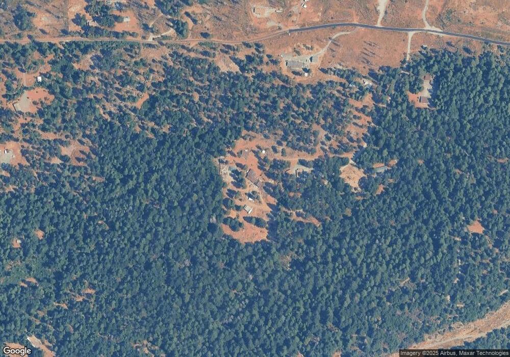
1241 Cassill Mine Rd Georgetown, CA 95634
Estimated Value: $276,000 - $324,000
1
Bed
2
Baths
1,020
Sq Ft
$287/Sq Ft
Est. Value
About This Home
This home is located at 1241 Cassill Mine Rd, Georgetown, CA 95634 and is currently estimated at $292,237, approximately $286 per square foot. 1241 Cassill Mine Rd is a home located in El Dorado County with nearby schools including Golden Sierra Junior Senior High.
Ownership History
Date
Name
Owned For
Owner Type
Purchase Details
Closed on
Jun 6, 2021
Sold by
Ocallaghan David E and Ocallaghan Constance P
Bought by
Ocallaghan David E and Ocallaghan Constance P
Current Estimated Value
Home Financials for this Owner
Home Financials are based on the most recent Mortgage that was taken out on this home.
Original Mortgage
$173,500
Interest Rate
2.8%
Mortgage Type
New Conventional
Purchase Details
Closed on
Feb 19, 2009
Sold by
Ocallaghan David E and Ocallaghan Constance P
Bought by
Ocallaghan David E and Ocallaghan Constance P
Create a Home Valuation Report for This Property
The Home Valuation Report is an in-depth analysis detailing your home's value as well as a comparison with similar homes in the area
Purchase History
| Date | Buyer | Sale Price | Title Company |
|---|---|---|---|
| Ocallaghan David E | -- | Amrock Llc | |
| Ocallaghan David E | -- | Amrock Llc | |
| Ocallaghan David E | -- | None Available |
Source: Public Records
Mortgage History
| Date | Status | Borrower | Loan Amount |
|---|---|---|---|
| Closed | Ocallaghan David E | $173,500 |
Source: Public Records
Tax History Compared to Growth
Tax History
| Year | Tax Paid | Tax Assessment Tax Assessment Total Assessment is a certain percentage of the fair market value that is determined by local assessors to be the total taxable value of land and additions on the property. | Land | Improvement |
|---|---|---|---|---|
| 2025 | $1,312 | $108,313 | $27,848 | $80,465 |
| 2024 | $1,312 | $106,190 | $27,302 | $78,888 |
| 2023 | $1,288 | $104,109 | $26,767 | $77,342 |
| 2022 | $1,267 | $102,069 | $26,243 | $75,826 |
| 2021 | $1,232 | $100,069 | $25,729 | $74,340 |
| 2020 | $1,234 | $99,044 | $25,466 | $73,578 |
| 2019 | $1,213 | $97,103 | $24,967 | $72,136 |
| 2018 | $1,181 | $95,200 | $24,478 | $70,722 |
| 2017 | $1,146 | $93,335 | $23,999 | $69,336 |
| 2016 | $1,125 | $91,506 | $23,529 | $67,977 |
| 2015 | $1,089 | $90,134 | $23,177 | $66,957 |
| 2014 | $1,089 | $88,371 | $22,724 | $65,647 |
Source: Public Records
Map
Nearby Homes
- 1 Volcanoville Rd
- 4025 Volcanoville Rd
- 3772 Tin Ranch Rd
- 0 Tin Ranch Rd Unit 223106359
- 4040 Tin Ranch Rd
- 8180 Wild Horse Trail
- 0 Kentucky Flat Rd Unit 225140786
- 0 Kentucky Flat Rd Unit 226000854
- 7440 Bear State Rd
- 9201 Country Rd
- 12-Acres Ringtail Rd
- 46 Ringtail Rd
- 1861 Rubicon Rd
- 0 Yuletide Way
- 3165 Homewood Dr
- 25080 Foresthill Rd
- 8355 Michigan Bluff Rd
- 25681 Foresthill Rd
- 24825 Harrison St
- 26270 Foresthill Rd
- 4100 Volcanoville Rd
- 0 Cassill Mine Rd Unit 14032989
- 0 Cassill Mine Rd Unit 70046465
- 0 Off Volcanoville Rd Unit 16067536
- 4381- Volcanoville Rd
- 4104 Volcanoville Rd
- 4045 Volcanoville Rd
- 4431 Volcanoville Rd
- 187 Volcanoville Rd
- 4127 Volcanoville Rd
- 8 Volcanoville Rd
- 10 Volcanoville Rd
- 4070 Volcanoville Rd
- 28 Tin Ranch Rd
- 999 Tin Ranch Rd
- 1 Tin Ranch Rd
- 0 Volcanoville Rd Unit 90022821
- 0 Volcanoville Rd Unit 10012575
- 0 Volcanoville Rd Unit 14061801
- 0 Volcanoville Rd Unit 15006809
