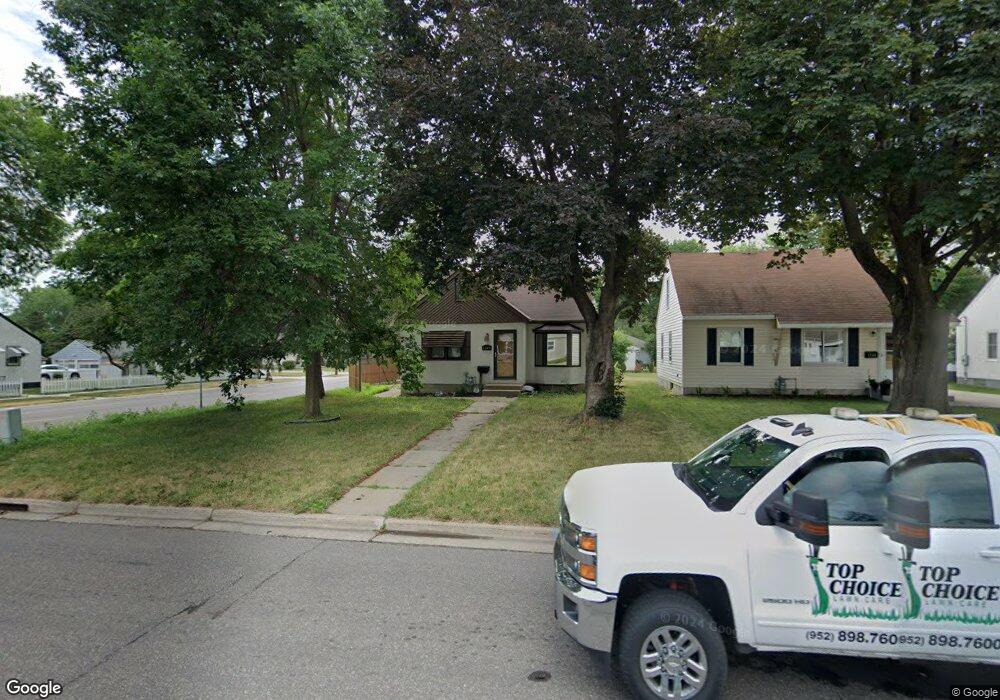
1242 Smith Ave S Saint Paul, MN 55118
Estimated Value: $338,000 - $368,000
4
Beds
2
Baths
1,559
Sq Ft
$224/Sq Ft
Est. Value
About This Home
This home is located at 1242 Smith Ave S, Saint Paul, MN 55118 and is currently estimated at $348,633, approximately $223 per square foot. 1242 Smith Ave S is a home located in Dakota County with nearby schools including Moreland Arts & Health Sciences Magnet School, Heritage E-STEM Magnet School, and Two Rivers High School.
Ownership History
Date
Name
Owned For
Owner Type
Purchase Details
Closed on
Jul 6, 2016
Sold by
Heymans Paul J and Heymans Joan S
Bought by
Keiser Richard K
Current Estimated Value
Home Financials for this Owner
Home Financials are based on the most recent Mortgage that was taken out on this home.
Original Mortgage
$193,982
Outstanding Balance
$155,155
Interest Rate
3.64%
Mortgage Type
VA
Estimated Equity
$193,478
Create a Home Valuation Report for This Property
The Home Valuation Report is an in-depth analysis detailing your home's value as well as a comparison with similar homes in the area
Home Values in the Area
Average Home Value in this Area
Purchase History
| Date | Buyer | Sale Price | Title Company |
|---|---|---|---|
| Keiser Richard K | $189,900 | C U Title Services Inc |
Source: Public Records
Mortgage History
| Date | Status | Borrower | Loan Amount |
|---|---|---|---|
| Open | Keiser Richard K | $193,982 |
Source: Public Records
Tax History Compared to Growth
Tax History
| Year | Tax Paid | Tax Assessment Tax Assessment Total Assessment is a certain percentage of the fair market value that is determined by local assessors to be the total taxable value of land and additions on the property. | Land | Improvement |
|---|---|---|---|---|
| 2024 | $5,016 | $331,800 | $65,600 | $266,200 |
| 2023 | $5,016 | $336,500 | $69,400 | $267,100 |
| 2022 | $4,746 | $313,600 | $69,200 | $244,400 |
| 2021 | $3,496 | $283,100 | $60,200 | $222,900 |
| 2020 | $3,266 | $274,000 | $57,300 | $216,700 |
| 2019 | $3,013 | $251,100 | $54,600 | $196,500 |
| 2018 | $2,713 | $223,900 | $51,000 | $172,900 |
| 2017 | $2,512 | $212,100 | $48,600 | $163,500 |
| 2016 | $2,360 | $191,300 | $44,200 | $147,100 |
| 2015 | $2,014 | $160,704 | $38,318 | $122,386 |
| 2014 | -- | $132,146 | $34,184 | $97,962 |
| 2013 | -- | $123,099 | $31,047 | $92,052 |
Source: Public Records
Map
Nearby Homes
- 1172 Ottawa Ave
- 421 Ruby Dr
- 1095 Cherokee Ave
- 8 Dorset Rd
- 1062 Ohio St
- 63 Langer Cir
- 1164 Dodd Rd
- 69 Langer Cir
- 158 Southwind Ln
- 1174 Dodd Rd
- 999 Seminole Ave
- 967 Cherokee Ave
- 625 Ivy Falls Ave
- 1513 Smith Ave S
- 955 Cherokee Ave
- 100 Imperial Dr W Unit 204
- 1057 Winslow Ave
- 1000 Winston Cir
- 913 Ottawa Ave
- 1016 Bidwell St
- 1246 Smith Ave S
- 1252 Smith Ave S
- 1252 Smith Ave S
- 1232 Smith Ave S
- 378 Moreland Ave W
- 1256 Smith Ave S
- 372 Moreland Ave W
- 1226 Smith Ave S
- 1256 1256 Smith-Avenue-s
- 379 Moreland Ave W
- 1260 1260 Smith Ave S
- 1243 Smith Ave S
- 1260 Smith Ave S
- 1247 Smith Ave S
- 1222 Smith Ave S
- 1253 Smith Ave S
- 371 Moreland Ave W
- 1233 Smith Ave S
- 1266 Smith Ave S
- 1225 Smith Ave S