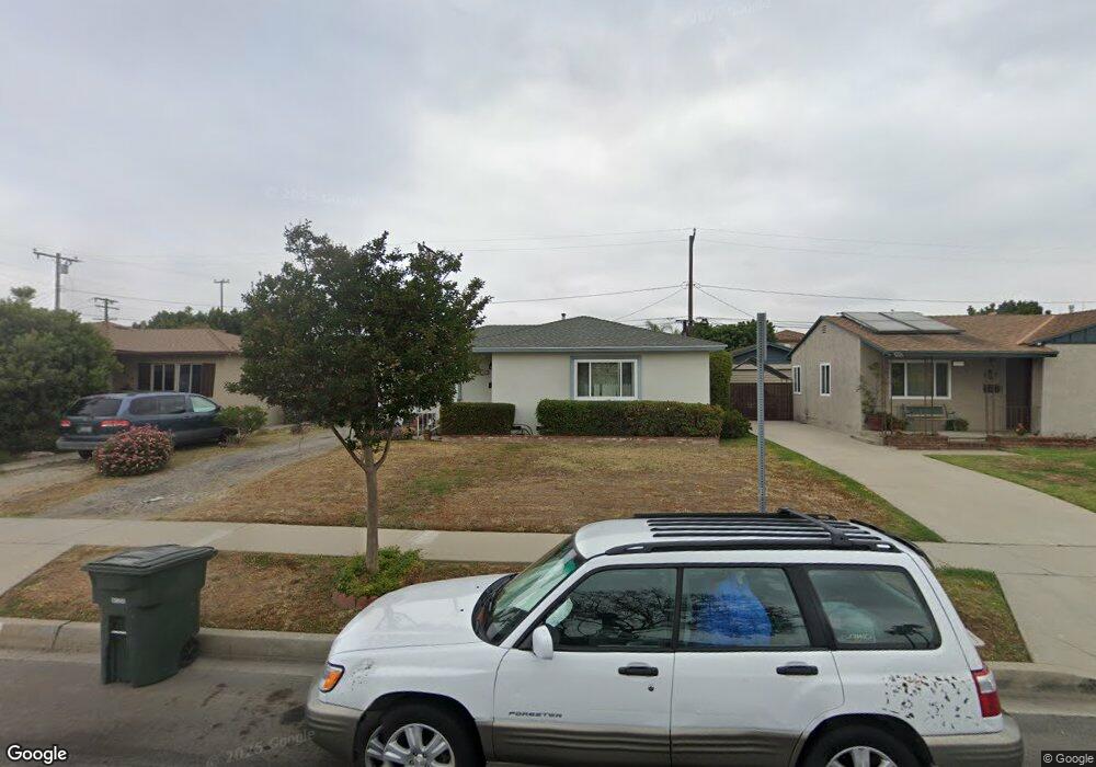
1243 W 212th St Torrance, CA 90502
West Carson NeighborhoodEstimated Value: $629,000 - $750,000
2
Beds
1
Bath
875
Sq Ft
$799/Sq Ft
Est. Value
About This Home
This home is located at 1243 W 212th St, Torrance, CA 90502 and is currently estimated at $699,493, approximately $799 per square foot. 1243 W 212th St is a home located in Los Angeles County with nearby schools including Van Deene Avenue Elementary School, Stephen M. White Middle School, and Nathaniel Narbonne Senior High School.
Ownership History
Date
Name
Owned For
Owner Type
Purchase Details
Closed on
Nov 16, 1998
Sold by
Gandolfo Dorothy J
Bought by
Esposito Julie A
Current Estimated Value
Home Financials for this Owner
Home Financials are based on the most recent Mortgage that was taken out on this home.
Original Mortgage
$124,000
Outstanding Balance
$27,710
Interest Rate
6.86%
Estimated Equity
$671,783
Create a Home Valuation Report for This Property
The Home Valuation Report is an in-depth analysis detailing your home's value as well as a comparison with similar homes in the area
Home Values in the Area
Average Home Value in this Area
Purchase History
| Date | Buyer | Sale Price | Title Company |
|---|---|---|---|
| Esposito Julie A | $155,000 | First American Title Co |
Source: Public Records
Mortgage History
| Date | Status | Borrower | Loan Amount |
|---|---|---|---|
| Open | Esposito Julie A | $124,000 |
Source: Public Records
Tax History Compared to Growth
Tax History
| Year | Tax Paid | Tax Assessment Tax Assessment Total Assessment is a certain percentage of the fair market value that is determined by local assessors to be the total taxable value of land and additions on the property. | Land | Improvement |
|---|---|---|---|---|
| 2025 | $3,302 | $242,966 | $194,382 | $48,584 |
| 2024 | $3,302 | $238,203 | $190,571 | $47,632 |
| 2023 | $3,243 | $233,534 | $186,835 | $46,699 |
| 2022 | $3,091 | $228,956 | $183,172 | $45,784 |
| 2021 | $3,059 | $224,468 | $179,581 | $44,887 |
| 2019 | $2,961 | $217,811 | $174,255 | $43,556 |
| 2018 | $2,884 | $213,541 | $170,839 | $42,702 |
| 2016 | $2,748 | $205,251 | $164,206 | $41,045 |
| 2015 | $2,697 | $202,169 | $161,740 | $40,429 |
| 2014 | $2,693 | $198,210 | $158,572 | $39,638 |
Source: Public Records
Map
Nearby Homes
- 21125 Normandie Ave
- 1107 W 210th St
- 21141 Berendo Ave
- 20907 Halldale Ave
- 20813 Normandie Ave
- 21322 Denker Ave
- 20710 Raymond Ave
- 21114 La Salle Ave
- 20612 Kenwood Ave
- 1291 Bonnet Way
- 22325 Sage Ct
- 22302 Sage Ct
- 22303 Sage Ct
- 20616 Budlong Ave
- 1145 Milton St
- 20518 Raymond Ave
- 21726 Halldale Ave
- 1514 W 207th St Unit C
- 941 W Carson St Unit 106
- 1300 W 218th St
- 1239 W 212th St
- 1249 W 212th St
- 1235 W 212th St
- 1255 W 212th St
- 1229 W 212th St
- 1242 W 212th St
- 1261 W 212th St
- 1248 W 212th St
- 1238 W 212th St
- 1232 W 212th St
- 1254 W 212th St
- 1223 W 212th St
- 1228 W 212th St
- 1249 Jasmine Walk Unit 51
- 1264 Jasmine Walk Unit 7
- 1274 Jasmine Walk Unit 6
- 1278 Jasmine Walk
- 1282 Jasmine Walk
- 1265 Jasmine Walk Unit 55
- 1261 Jasmine Walk