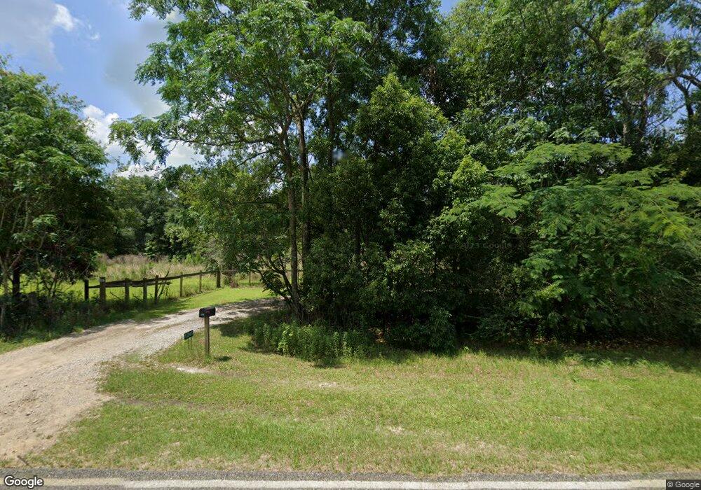
Estimated Value: $251,000 - $366,596
2
Beds
2
Baths
1,596
Sq Ft
$186/Sq Ft
Est. Value
About This Home
This home is located at 1245 Dixie Barwick Rd, Dixie, GA 31629 and is currently estimated at $297,199, approximately $186 per square foot. 1245 Dixie Barwick Rd is a home with nearby schools including Quitman Elementary School and Westbrook School.
Ownership History
Date
Name
Owned For
Owner Type
Purchase Details
Closed on
May 20, 2013
Sold by
Mitchell Jessica D
Bought by
Conservation Use Covenant Recording
Current Estimated Value
Purchase Details
Closed on
Jul 15, 2009
Sold by
Desantiago Xavier B and Desantiago Martha S
Bought by
Desantiago Jessica E
Purchase Details
Closed on
Jul 13, 2006
Sold by
W H Hadley Enterprise Inc
Bought by
Desantiago Xavier B and Desantiago Martha S
Home Financials for this Owner
Home Financials are based on the most recent Mortgage that was taken out on this home.
Original Mortgage
$34,886
Interest Rate
6.6%
Mortgage Type
New Conventional
Purchase Details
Closed on
May 23, 2006
Sold by
Jones Elizabeth W
Bought by
Hadley W H Enterprises Inc
Home Financials for this Owner
Home Financials are based on the most recent Mortgage that was taken out on this home.
Original Mortgage
$34,886
Interest Rate
6.6%
Mortgage Type
New Conventional
Create a Home Valuation Report for This Property
The Home Valuation Report is an in-depth analysis detailing your home's value as well as a comparison with similar homes in the area
Purchase History
| Date | Buyer | Sale Price | Title Company |
|---|---|---|---|
| Conservation Use Covenant Recording | -- | -- | |
| Desantiago Jessica E | -- | -- | |
| Desantiago Xavier B | $35,000 | -- | |
| Hadley W H Enterprises Inc | -- | -- |
Source: Public Records
Mortgage History
| Date | Status | Borrower | Loan Amount |
|---|---|---|---|
| Previous Owner | Desantiago Xavier B | $34,886 |
Source: Public Records
Tax History Compared to Growth
Tax History
| Year | Tax Paid | Tax Assessment Tax Assessment Total Assessment is a certain percentage of the fair market value that is determined by local assessors to be the total taxable value of land and additions on the property. | Land | Improvement |
|---|---|---|---|---|
| 2025 | $2,603 | $119,676 | $22,920 | $96,756 |
| 2024 | $2,603 | $107,876 | $22,040 | $85,836 |
| 2023 | $1,462 | $79,280 | $19,960 | $59,320 |
| 2022 | $1,646 | $60,480 | $17,360 | $43,120 |
| 2021 | $1,501 | $56,320 | $17,000 | $39,320 |
| 2020 | $1,555 | $56,000 | $17,000 | $39,000 |
| 2019 | $1,391 | $54,240 | $17,360 | $36,880 |
| 2018 | $1,537 | $52,640 | $15,320 | $37,320 |
| 2017 | $1,321 | $50,920 | $15,320 | $35,600 |
| 2016 | $1,382 | $55,720 | $19,360 | $36,360 |
| 2015 | -- | $55,760 | $19,360 | $36,400 |
| 2014 | -- | $56,520 | $19,360 | $37,160 |
| 2013 | -- | $56,520 | $19,360 | $37,160 |
Source: Public Records
Map
Nearby Homes
- 0 Spencer Rd
- 5199 U S 84
- 2818 Dry Lake Rd
- 2156 County Road 78
- 431 Dry Lake Rd
- 9900 Ozell Rd
- 4126 Grooverville Rd
- 682 Salem Rd
- 130 E Adams St
- 1540 Dunn Rd
- 2434 Dunn Rd
- 804 Westlake Dr
- 309 Eastlake Dr
- 800 Clifford St
- 602 N Webster St
- 903 W Hill St
- 7402 Coffee Rd
- 640 Bernice Glenn Rd #5
- 1038-BA Church St
- 304 W Rountree St
- 3501 Old Thomasville Rd
- 3501 Old Thomasville Rd
- 3571 Old Thomasville Rd
- 3305 Old Thomasville Rd
- 1432 Dixie Barwick Rd
- 1548 Dixie Barwick Rd
- 3799 Old Thomasville Rd
- 3193 Old Thomasville Rd
- 1639 Dixie Barwick Rd
- 1845 Dixie Barwick Rd
- 824 Dixie Barwick Rd
- 824 Dixie-Barwick Rd
- 3004 Old Thomasville Rd
- 730 Dixie-Barwick Rd
- 3003 Old Thomasville Rd
- 3175 Us Highway 84
- 3175 Us Highway 84
- 783 Dixie Barwick Rd
- 3053 Us Highway 84
- 757 Dixie Barwick Rd
