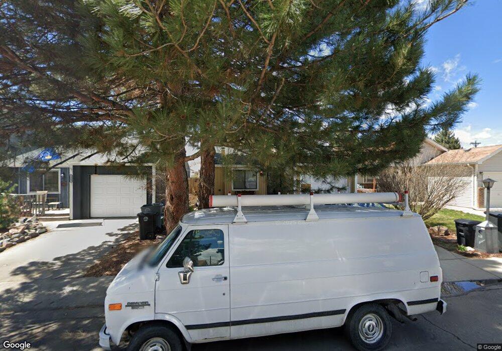
1247 Meadow St Longmont, CO 80501
Clark Centennial NeighborhoodEstimated Value: $391,169 - $459,000
2
Beds
1
Bath
1,080
Sq Ft
$391/Sq Ft
Est. Value
About This Home
This home is located at 1247 Meadow St, Longmont, CO 80501 and is currently estimated at $422,792, approximately $391 per square foot. 1247 Meadow St is a home located in Boulder County with nearby schools including Columbine Elementary School, Trail Ridge Middle School, and Skyline High School.
Ownership History
Date
Name
Owned For
Owner Type
Purchase Details
Closed on
Feb 29, 1996
Sold by
Martinez Anthony
Bought by
Marks Chad D
Current Estimated Value
Home Financials for this Owner
Home Financials are based on the most recent Mortgage that was taken out on this home.
Original Mortgage
$88,100
Outstanding Balance
$3,449
Interest Rate
7.01%
Estimated Equity
$419,343
Purchase Details
Closed on
Aug 30, 1994
Sold by
Jones Stephen P and Jones Corrine A
Bought by
Martinez Anthony
Home Financials for this Owner
Home Financials are based on the most recent Mortgage that was taken out on this home.
Original Mortgage
$83,000
Interest Rate
6%
Purchase Details
Closed on
Sep 3, 1987
Bought by
Marks Chad D
Purchase Details
Closed on
Dec 6, 1983
Bought by
Marks Chad D
Create a Home Valuation Report for This Property
The Home Valuation Report is an in-depth analysis detailing your home's value as well as a comparison with similar homes in the area
Home Values in the Area
Average Home Value in this Area
Purchase History
| Date | Buyer | Sale Price | Title Company |
|---|---|---|---|
| Marks Chad D | $97,900 | First American Heritage Titl | |
| Martinez Anthony | $93,500 | Commonwealth Land Title Ins | |
| Marks Chad D | $70,300 | -- | |
| Marks Chad D | $71,500 | -- |
Source: Public Records
Mortgage History
| Date | Status | Borrower | Loan Amount |
|---|---|---|---|
| Open | Marks Chad D | $88,100 | |
| Previous Owner | Martinez Anthony | $83,000 |
Source: Public Records
Tax History Compared to Growth
Tax History
| Year | Tax Paid | Tax Assessment Tax Assessment Total Assessment is a certain percentage of the fair market value that is determined by local assessors to be the total taxable value of land and additions on the property. | Land | Improvement |
|---|---|---|---|---|
| 2025 | $1,960 | $23,019 | $5,500 | $17,519 |
| 2024 | $1,960 | $23,019 | $5,500 | $17,519 |
| 2023 | $1,934 | $20,495 | $6,030 | $18,150 |
| 2022 | $1,845 | $18,647 | $4,365 | $14,282 |
| 2021 | $1,869 | $19,183 | $4,490 | $14,693 |
| 2020 | $1,719 | $17,697 | $4,362 | $13,335 |
| 2019 | $1,692 | $17,697 | $4,362 | $13,335 |
| 2018 | $1,327 | $13,975 | $4,320 | $9,655 |
| 2017 | $1,309 | $15,450 | $4,776 | $10,674 |
| 2016 | $1,105 | $11,558 | $4,060 | $7,498 |
| 2015 | $1,053 | $10,610 | $3,343 | $7,267 |
| 2014 | $991 | $10,610 | $3,343 | $7,267 |
Source: Public Records
Map
Nearby Homes
- 1211 Meadow St
- 1226 Atwood St
- 10 Juneau Place
- 1147 Emery St
- 147 Dawson Place
- 117 Valentine Ln
- 1430 Lashley St
- 1514 Collyer St
- 845 Martin St
- 50 Forsyth Dr
- 342 9th Ave
- 936 Kimbark St Unit 4
- 1310 Hilltop Dr
- 1455 Hilltop Dr
- 836 Emery St
- 823 Collyer St
- 830 Emery St
- 1534 Mount Evans Dr
- 1711 Antero Dr
- 727 Baker St