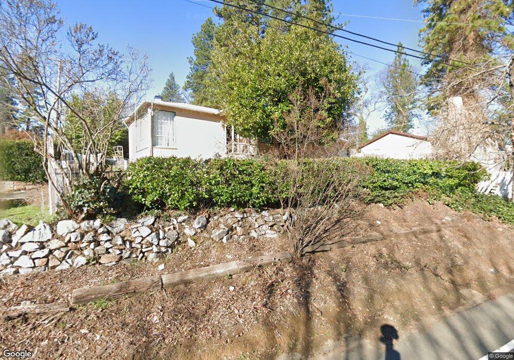
1247 Pinecrest Ct Placerville, CA 95667
Estimated Value: $348,967 - $426,000
2
Beds
1
Bath
1,076
Sq Ft
$355/Sq Ft
Est. Value
About This Home
This home is located at 1247 Pinecrest Ct, Placerville, CA 95667 and is currently estimated at $381,492, approximately $354 per square foot. 1247 Pinecrest Ct is a home located in El Dorado County with nearby schools including El Dorado High School, Country Day Montessori, and El Dorado Adventist School.
Ownership History
Date
Name
Owned For
Owner Type
Purchase Details
Closed on
Feb 5, 1998
Sold by
Hamilton Lucille Mary
Bought by
Hamilton Lucille M
Current Estimated Value
Home Financials for this Owner
Home Financials are based on the most recent Mortgage that was taken out on this home.
Original Mortgage
$20,000
Interest Rate
7.02%
Mortgage Type
Stand Alone Second
Create a Home Valuation Report for This Property
The Home Valuation Report is an in-depth analysis detailing your home's value as well as a comparison with similar homes in the area
Home Values in the Area
Average Home Value in this Area
Purchase History
| Date | Buyer | Sale Price | Title Company |
|---|---|---|---|
| Hamilton Lucille M | -- | -- |
Source: Public Records
Mortgage History
| Date | Status | Borrower | Loan Amount |
|---|---|---|---|
| Closed | Hamilton Lucille M | $20,000 |
Source: Public Records
Tax History
| Year | Tax Paid | Tax Assessment Tax Assessment Total Assessment is a certain percentage of the fair market value that is determined by local assessors to be the total taxable value of land and additions on the property. | Land | Improvement |
|---|---|---|---|---|
| 2025 | $3,467 | $216,570 | $75,128 | $141,442 |
| 2024 | $3,467 | $212,324 | $73,655 | $138,669 |
| 2023 | $3,519 | $208,161 | $72,211 | $135,950 |
| 2022 | $3,586 | $204,081 | $70,796 | $133,285 |
| 2021 | $3,574 | $200,080 | $69,408 | $130,672 |
| 2020 | $3,594 | $198,030 | $68,697 | $129,333 |
| 2019 | $3,598 | $194,148 | $67,350 | $126,798 |
| 2018 | $3,603 | $190,342 | $66,030 | $124,312 |
| 2017 | $638 | $186,611 | $64,736 | $121,875 |
| 2016 | $636 | $182,953 | $63,467 | $119,486 |
| 2015 | $590 | $180,207 | $62,514 | $117,693 |
| 2014 | $590 | $176,680 | $61,291 | $115,389 |
Source: Public Records
Map
Nearby Homes
- 2977 Mosquito Rd
- 2660 Clay St
- 2940 Anderson Way
- 2921 Miller Way
- 678 Main St
- 2655 Mona Dr
- 1015 Utah Dr
- 1000 Utah Dr
- 1016 Utah Dr
- 1012 Utah Dr
- 1002 Utah Dr
- 1004 Utah Dr
- 1006 Utah Dr
- 0 Trails End Dr Unit 225117516
- 1008 Utah Dr
- 3095 Cedar Ravine Rd
- 1131 Bush Ct
- 8325 County Rd M44
- 3166 Cedar Ravine Rd
- 945 Crawford Drift Ct
- 1243 Pinecrest Ct
- 1307 Carson Rd
- 1298 Carson Rd
- 1242 Pinecrest Ct
- 1237 Pinecrest Ct
- 1292 Carson Rd
- 1311 Dimity Ln
- 1287 Carson Rd
- 1235 Pinecrest Ct
- 1288 Carson Rd
- 1312 Dimity Ln
- 1284 Rosier St
- 1284 Carson Rd
- 1315 Dimity Ln
- 1285 Roxie Way
- 1285 Roxie Ct
- 1300 Carson Rd
- 1295 Village Ln
- 1229 Pinecrest Ct
- 1281 Carson Rd
Your Personal Tour Guide
Ask me questions while you tour the home.