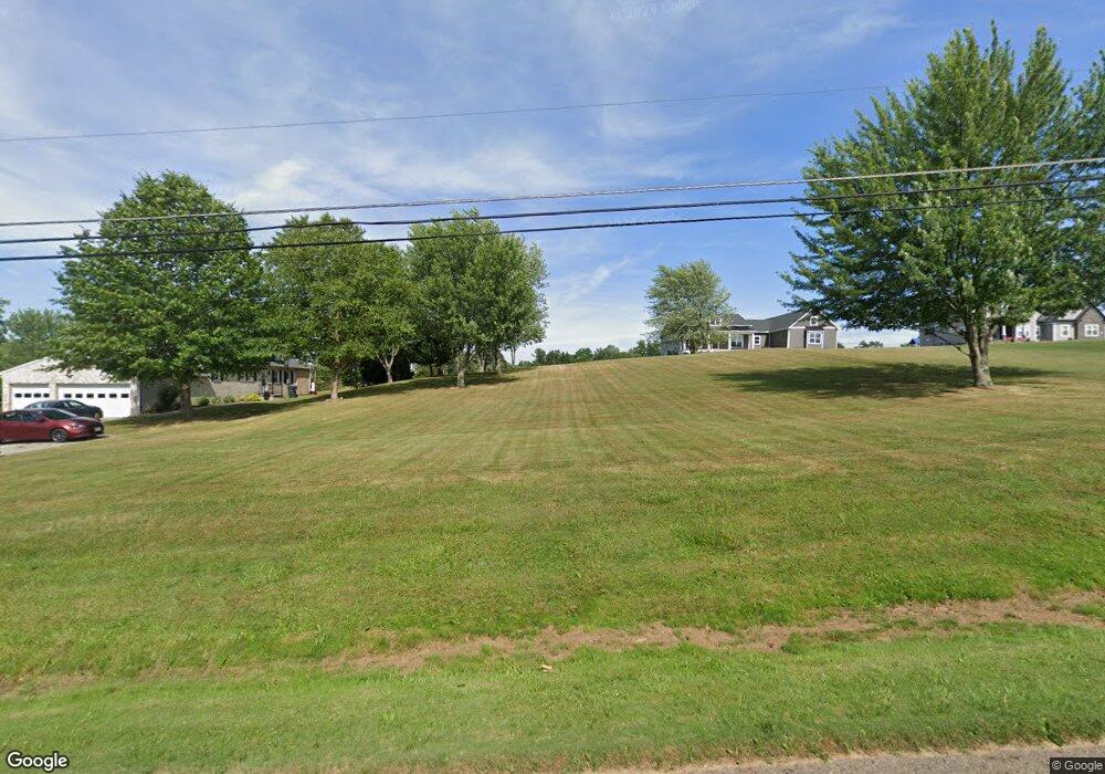
12488 Osborne Ave NE Alliance, OH 44601
Estimated Value: $373,000 - $570,232
3
Beds
3
Baths
2,400
Sq Ft
$200/Sq Ft
Est. Value
About This Home
This home is located at 12488 Osborne Ave NE, Alliance, OH 44601 and is currently estimated at $479,744, approximately $199 per square foot. 12488 Osborne Ave NE is a home with nearby schools including Marlington High School.
Ownership History
Date
Name
Owned For
Owner Type
Purchase Details
Closed on
Jan 16, 2019
Sold by
Lautzenheiser Dale L and Sarchione Joseph E
Bought by
Lee Heather B and Lee Jedediah
Current Estimated Value
Home Financials for this Owner
Home Financials are based on the most recent Mortgage that was taken out on this home.
Original Mortgage
$359,200
Outstanding Balance
$315,938
Interest Rate
4.62%
Mortgage Type
Adjustable Rate Mortgage/ARM
Estimated Equity
$163,806
Purchase Details
Closed on
Sep 19, 2018
Sold by
Lautzenhesier Dale L and Sarchione Joseph
Bought by
Lautzenheiser Dale L and Sarchione Joseph E
Create a Home Valuation Report for This Property
The Home Valuation Report is an in-depth analysis detailing your home's value as well as a comparison with similar homes in the area
Home Values in the Area
Average Home Value in this Area
Purchase History
| Date | Buyer | Sale Price | Title Company |
|---|---|---|---|
| Lee Heather B | $37,000 | Heritage Union Title Co Ltd | |
| Lautzenheiser Dale L | -- | None Available |
Source: Public Records
Mortgage History
| Date | Status | Borrower | Loan Amount |
|---|---|---|---|
| Open | Lee Heather B | $359,200 |
Source: Public Records
Tax History Compared to Growth
Tax History
| Year | Tax Paid | Tax Assessment Tax Assessment Total Assessment is a certain percentage of the fair market value that is determined by local assessors to be the total taxable value of land and additions on the property. | Land | Improvement |
|---|---|---|---|---|
| 2025 | -- | $178,990 | $29,330 | $149,660 |
| 2024 | -- | $178,990 | $29,330 | $149,660 |
| 2023 | $5,783 | $157,020 | $23,210 | $133,810 |
| 2022 | $5,804 | $157,020 | $23,210 | $133,810 |
| 2021 | $5,824 | $157,020 | $23,210 | $133,810 |
| 2020 | $5,218 | $128,910 | $19,530 | $109,380 |
| 2019 | $641 | $1,300 | $1,300 | $0 |
| 2018 | $51 | $1,300 | $1,300 | $0 |
Source: Public Records
Map
Nearby Homes
- 8736 Lynn Park St NE
- 14265 Reeder Ave NE
- 6180 Edison St NE
- 7377 Pontius St NE
- 0 New Milford Rd Unit 5119787
- 167 State Route 44
- 4829 Laubert Rd
- 3952 Laubert Rd
- 0 Pontius St NE
- 3990 Edison St NE
- 12355 Edison St NE
- 12561 Duquette Ave NE
- 12415 Snode St NE
- 5615 Laubert Rd
- 14920 Mccallum Ave NE
- 11960 Freshley Ave NE
- 10666 Wilma Ave NE
- 13004 Edison St NE
- 13109 Edison St NE
- 7844 Morningstar Dr
- 12470 Osborne Ave NE
- 12540 Osborne Ave NE
- 12542 Osborne Ave NE
- 0 Osborne Ave NE Unit 3967721
- 12467 Osborne Ave NE
- 8647 Edison St NE
- 8585 Edison St
- 8775 Edison St
- 12656 Osborne Ave NE
- 8795 Edison St
- 8857 Edison St NE
- 8630 Edison St NE
- 8776 Edison St NE
- 8670 Lynnett St NE
- 8700 Lynnett St NE
- 8640 Lynnett St NE
- 8792 Edison St NE
- 8586 Edison St NE
- 8857 Edison St NE
- 12707 Osborne Ave NE