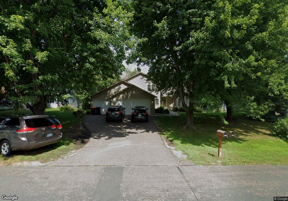
1249 Frisbie Ave Saint Paul, MN 55109
Gladstone NeighborhoodEstimated Value: $447,000 - $487,000
5
Beds
3
Baths
1,988
Sq Ft
$239/Sq Ft
Est. Value
About This Home
This home is located at 1249 Frisbie Ave, Saint Paul, MN 55109 and is currently estimated at $474,814, approximately $238 per square foot. 1249 Frisbie Ave is a home located in Ramsey County with nearby schools including Weaver Elementary School, John Glenn Middle School, and Mounds Park Academy.
Ownership History
Date
Name
Owned For
Owner Type
Purchase Details
Closed on
May 31, 2018
Sold by
Bartol David David
Bought by
Moua Pa Pa
Current Estimated Value
Home Financials for this Owner
Home Financials are based on the most recent Mortgage that was taken out on this home.
Original Mortgage
$249,000
Outstanding Balance
$215,343
Interest Rate
4.5%
Estimated Equity
$259,471
Create a Home Valuation Report for This Property
The Home Valuation Report is an in-depth analysis detailing your home's value as well as a comparison with similar homes in the area
Home Values in the Area
Average Home Value in this Area
Purchase History
| Date | Buyer | Sale Price | Title Company |
|---|---|---|---|
| Moua Pa Pa | $332,000 | -- | |
| Moua Pa | $332,000 | First Amer Title Ins Co |
Source: Public Records
Mortgage History
| Date | Status | Borrower | Loan Amount |
|---|---|---|---|
| Open | Moua Pa | $249,000 | |
| Closed | Moua Pa Pa | $249,000 |
Source: Public Records
Tax History Compared to Growth
Tax History
| Year | Tax Paid | Tax Assessment Tax Assessment Total Assessment is a certain percentage of the fair market value that is determined by local assessors to be the total taxable value of land and additions on the property. | Land | Improvement |
|---|---|---|---|---|
| 2025 | $5,936 | $473,000 | $57,700 | $415,300 |
| 2023 | $5,936 | $415,700 | $57,700 | $358,000 |
| 2022 | $5,328 | $422,200 | $57,700 | $364,500 |
| 2021 | $4,960 | $358,400 | $57,700 | $300,700 |
| 2020 | $5,124 | $342,600 | $57,700 | $284,900 |
| 2019 | $4,382 | $330,500 | $57,700 | $272,800 |
| 2018 | $4,178 | $291,000 | $57,700 | $233,300 |
| 2017 | $4,384 | $271,700 | $57,700 | $214,000 |
| 2016 | $3,980 | $0 | $0 | $0 |
| 2015 | $3,774 | $249,500 | $53,000 | $196,500 |
| 2014 | $2,958 | $0 | $0 | $0 |
Source: Public Records
Map
Nearby Homes
- 1730 Atlantic St
- 1779 Frank St
- 1740 English St
- 1201 Frost Ave
- 1869 Birmingham St
- 1435 Price Ave
- 1639 Clarence St
- 1854 Barclay St
- 1940 Barclay St
- 1875 E Shore Dr Unit 302
- 1672 Manton St
- 1567 Atlantic St
- 1562 Chamber St
- 1984 Prosperity Rd
- 1467 County Road B E
- 1849 Kennard St
- 1627 Christie Place
- 1439 Mcafee St
- 1509 Sandhurst Ave E
- 1637 Iowa Ave E
- 1241 Frisbie Ave
- 1257 Frisbie Ave
- 1265 Frisbie Ave
- 1233 Frisbie Ave
- 1264 Frisbie Ave
- 1254 Frisbie Ave
- 1273 Frisbie Ave
- 1225 Frisbie Ave
- 1280 Frisbie Ave
- 1217 Frisbie Ave
- 1281 Frisbie Ave
- 1255 Ripley Ave
- 1263 Ripley Ave
- 1800 Atlantic St
- 1279 Ripley Ave
- 1230 Frisbie Ave
- 1209 Frisbie Ave
- 1289 Frisbie Ave
- 1233 Ripley Ave
- 1285 Ripley Ave