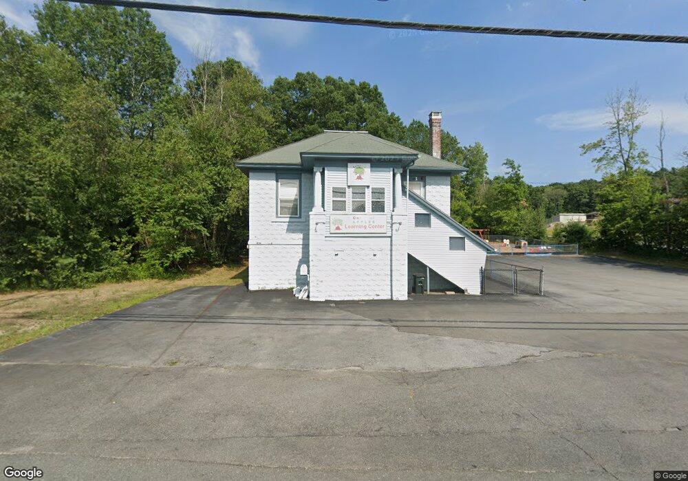
1249 Hooksett Rd Hooksett, NH 03106
Estimated Value: $679,512
Studio
--
Bath
2,259
Sq Ft
$301/Sq Ft
Est. Value
About This Home
This home is located at 1249 Hooksett Rd, Hooksett, NH 03106 and is currently estimated at $679,512, approximately $300 per square foot. 1249 Hooksett Rd is a home located in Merrimack County with nearby schools including Fred C. Underhill School, Hooksett Memorial School, and David R. Cawley Middle School.
Ownership History
Date
Name
Owned For
Owner Type
Purchase Details
Closed on
Jun 29, 2016
Sold by
Curtis Dawn J
Bought by
Colorful Apples Rt
Current Estimated Value
Purchase Details
Closed on
May 27, 2016
Sold by
Learni Colorful Apples
Bought by
Curtis Dawn J
Purchase Details
Closed on
Jan 1, 1988
Bought by
Learning Colorful Apples
Create a Home Valuation Report for This Property
The Home Valuation Report is an in-depth analysis detailing your home's value as well as a comparison with similar homes in the area
Home Values in the Area
Average Home Value in this Area
Purchase History
| Date | Buyer | Sale Price | Title Company |
|---|---|---|---|
| Colorful Apples Rt | -- | -- | |
| Curtis Dawn J | -- | -- | |
| Learning Colorful Apples | $729,600 | -- |
Source: Public Records
Tax History
| Year | Tax Paid | Tax Assessment Tax Assessment Total Assessment is a certain percentage of the fair market value that is determined by local assessors to be the total taxable value of land and additions on the property. | Land | Improvement |
|---|---|---|---|---|
| 2024 | $7,108 | $419,100 | $349,800 | $69,300 |
| 2023 | $6,697 | $419,100 | $349,800 | $69,300 |
| 2022 | $8,122 | $337,700 | $221,400 | $116,300 |
| 2021 | $7,504 | $337,700 | $221,400 | $116,300 |
| 2020 | $7,602 | $337,700 | $221,400 | $116,300 |
| 2019 | $7,277 | $337,700 | $221,400 | $116,300 |
| 2018 | $7,470 | $337,700 | $221,400 | $116,300 |
| 2017 | $8,787 | $328,600 | $198,500 | $130,100 |
| 2016 | $8,672 | $328,600 | $198,500 | $130,100 |
| 2015 | $8,106 | $327,900 | $198,500 | $129,400 |
| 2014 | $8,142 | $327,900 | $198,500 | $129,400 |
| 2013 | $7,699 | $327,900 | $198,500 | $129,400 |
Source: Public Records
Map
Nearby Homes
- 286 Londonderry Turnpike Unit A
- 286B Londonderry Turnpike Unit A
- 9 Lancelot Dr
- 267 Londonderry Turnpike
- 10 Dewberry Ln
- 9 Berry Hill Rd
- 1095 1097 1099 Hooksett Rd Unit 73, 74, 75
- 1099 Hooksett Rd Unit 73
- 1097 Hooksett Rd Unit 74
- 1095 Hooksett Rd
- 32 Lindsay Rd
- 192 Londonderry Turnpike
- 19 W Stearns Ave
- 190 Chase Way
- 5 Thistle Ln
- 36 Prescott Heights Rd
- 141 Chase Way
- 13 Johns Dr
- 6 Golden Gate Dr
- 6 Deerhead St
- 1253 Hooksett Rd
- 1261 Hooksett Rd
- 1261 Ste 4 Hooksett Rd
- 1238 Hooksett Rd
- 8 Martins Ferry Rd
- 17 Harvest Dr
- 15 Harvest Dr
- 13 Harvest Dr
- 11 Harvest Dr
- 5 Whitehall Rd
- 5 Whitehall Rd Unit B and C
- 5 Whitehall Rd Unit C
- 3 Whitehall Rd
- 3 Whitehall Rd Unit 1
- 9 Harvest Dr
- 19 Harvest Dr
- 1227 Hooksett Rd
- 21 Harvest Dr
- 7 Harvest Dr Unit 10-43-7
- 7 Harvest Dr
Your Personal Tour Guide
Ask me questions while you tour the home.