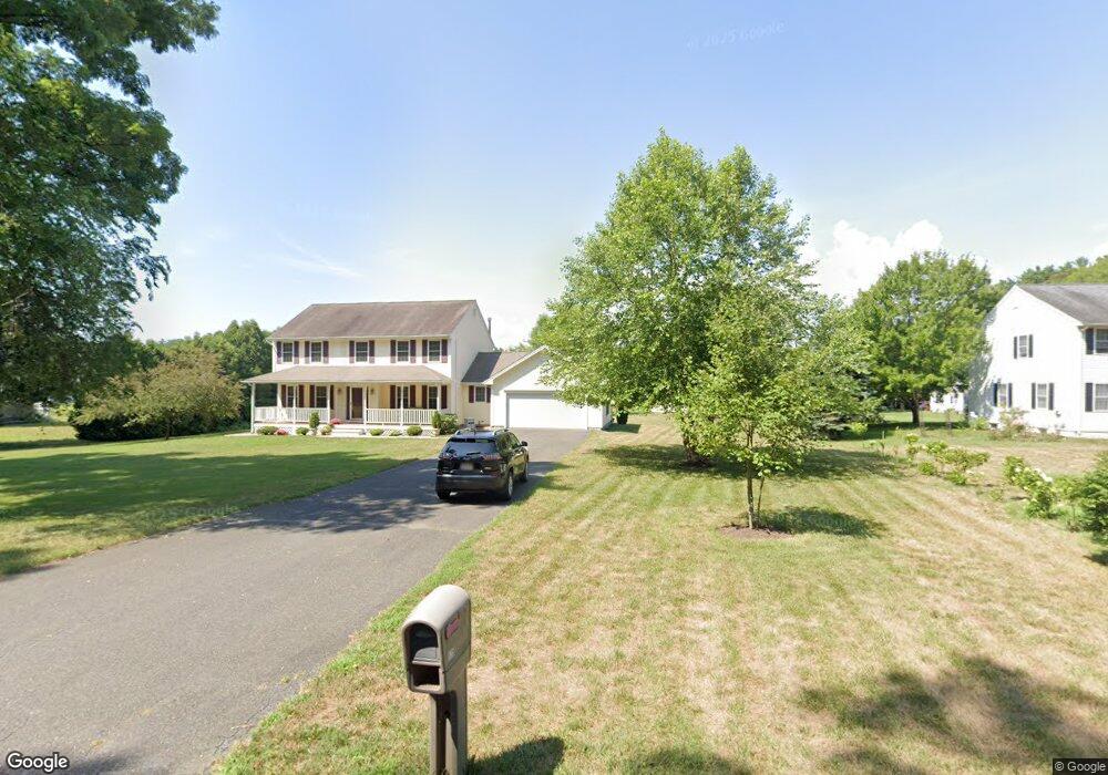
125 N Plain Rd Sunderland, MA 01375
Estimated Value: $516,000 - $760,000
3
Beds
3
Baths
2,306
Sq Ft
$267/Sq Ft
Est. Value
About This Home
This home is located at 125 N Plain Rd, Sunderland, MA 01375 and is currently estimated at $616,794, approximately $267 per square foot. 125 N Plain Rd is a home located in Franklin County with nearby schools including Sunderland Elementary School and Frontier Regional School.
Ownership History
Date
Name
Owned For
Owner Type
Purchase Details
Closed on
Jun 12, 2017
Sold by
Sabol Joseph M and Sabol Barbara A
Bought by
Sabol Ft
Current Estimated Value
Purchase Details
Closed on
Jun 15, 1999
Sold by
Pekalski Joel E
Bought by
Sabol Joseph M and Sabol Barbara A
Home Financials for this Owner
Home Financials are based on the most recent Mortgage that was taken out on this home.
Original Mortgage
$55,000
Interest Rate
6.9%
Mortgage Type
Purchase Money Mortgage
Create a Home Valuation Report for This Property
The Home Valuation Report is an in-depth analysis detailing your home's value as well as a comparison with similar homes in the area
Home Values in the Area
Average Home Value in this Area
Purchase History
| Date | Buyer | Sale Price | Title Company |
|---|---|---|---|
| Sabol Ft | -- | -- | |
| Sabol Joseph M | $228,000 | -- |
Source: Public Records
Mortgage History
| Date | Status | Borrower | Loan Amount |
|---|---|---|---|
| Previous Owner | Sabol Joseph M | $55,000 |
Source: Public Records
Tax History
| Year | Tax Paid | Tax Assessment Tax Assessment Total Assessment is a certain percentage of the fair market value that is determined by local assessors to be the total taxable value of land and additions on the property. | Land | Improvement |
|---|---|---|---|---|
| 2025 | $64 | $491,700 | $126,100 | $365,600 |
| 2024 | $6,461 | $491,700 | $126,100 | $365,600 |
| 2023 | $5,810 | $453,900 | $105,000 | $348,900 |
| 2022 | $5,892 | $400,800 | $90,300 | $310,500 |
| 2021 | $5,776 | $372,900 | $84,700 | $288,200 |
| 2020 | $5,751 | $372,500 | $84,700 | $287,800 |
| 2019 | $5,566 | $363,100 | $82,000 | $281,100 |
| 2018 | $5,247 | $349,800 | $78,800 | $271,000 |
| 2017 | $5,000 | $348,700 | $81,000 | $267,700 |
| 2016 | $5,112 | $348,700 | $79,300 | $269,400 |
| 2015 | $4,990 | $348,700 | $79,300 | $269,400 |
| 2014 | $4,875 | $348,700 | $79,300 | $269,400 |
Source: Public Records
Map
Nearby Homes
- 15 S Plain Rd
- 8 Aloha Dr
- 3 Frost Ln
- 10 Depot Rd
- 113 Juggler Meadow Rd
- 208 Pine St Unit 53
- 208 Rolling Ridge Rd
- 12 Teawaddle Ln
- 100 Depot Rd
- 33 Bridge St
- Lot 3 Roosevelt St
- 37 River Rd
- 185 Cherry Ln
- Lot A Kingman Rd
- 79 State Rd
- 15 Crestview Dr
- 27 January Hills Rd
- Lot A January Hills Rd
- Lot 3, January Hills Rd
- 35 Weatherwood Rd
- 123 N Plain Rd
- 127 N Plain Rd
- 144 Plumtree Rd
- 130 Plumtree Rd
- 121 N Plain Rd
- 152 Plumtree Rd
- 128 Plumtree Rd
- 117 N Plain Rd
- 158 Plumtree Rd
- 129 Plumtree Rd
- 125 Plumtree Rd
- 137 Plumtree Rd
- 141 Plumtree Rd
- 115 N Plain Rd
- 120 Plumtree Rd
- 168 Plumtree Rd
- 139 Plumtree Rd
- 0 Plumtree Rd Toye 116 Unit 30285389
- 147 Plumtree Rd
- 159 Plumtree Rd
Your Personal Tour Guide
Ask me questions while you tour the home.