Estimated Value: $244,383 - $264,000
3
Beds
2
Baths
1,120
Sq Ft
$225/Sq Ft
Est. Value
About This Home
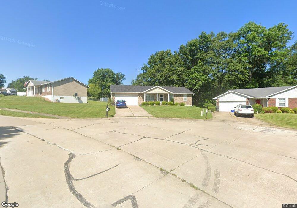
This home is located at 125 Shellbark Ct, Troy, MO 63379 and is currently estimated at $252,346, approximately $225 per square foot. 125 Shellbark Ct is a home located in Lincoln County with nearby schools including Main Street Elementary School, Troy South Middle School, and Troy Buchanan High School.
Ownership History
Date
Name
Owned For
Owner Type
Purchase Details
Closed on
May 3, 2010
Sold by
Dickerman Ermal
Bought by
Adcock Shirley and Dickerman Norman Dale
Current Estimated Value
Purchase Details
Closed on
Sep 28, 2005
Sold by
Adcock David F and Adcock Shirley M
Bought by
Adcock Carl E and Adcock Michael W
Create a Home Valuation Report for This Property
The Home Valuation Report is an in-depth analysis detailing your home's value as well as a comparison with similar homes in the area
Home Values in the Area
Average Home Value in this Area
Purchase History
| Date | Buyer | Sale Price | Title Company |
|---|---|---|---|
| Adcock Shirley | -- | None Available | |
| Adcock Carl E | -- | None Available |
Source: Public Records
Tax History
| Year | Tax Paid | Tax Assessment Tax Assessment Total Assessment is a certain percentage of the fair market value that is determined by local assessors to be the total taxable value of land and additions on the property. | Land | Improvement |
|---|---|---|---|---|
| 2025 | $1,764 | $28,080 | $4,653 | $23,427 |
| 2024 | $1,637 | $25,565 | $3,865 | $21,700 |
| 2023 | $1,626 | $25,565 | $3,865 | $21,700 |
| 2022 | $1,556 | $24,334 | $3,865 | $20,469 |
| 2021 | $1,564 | $128,070 | $0 | $0 |
| 2020 | $1,385 | $113,170 | $0 | $0 |
| 2019 | $1,386 | $113,170 | $0 | $0 |
| 2018 | $1,428 | $21,894 | $0 | $0 |
| 2017 | $1,432 | $21,894 | $0 | $0 |
| 2016 | $1,330 | $19,791 | $0 | $0 |
| 2015 | $1,333 | $19,791 | $0 | $0 |
| 2014 | $1,332 | $19,726 | $0 | $0 |
| 2013 | -- | $19,726 | $0 | $0 |
Source: Public Records
Map
Nearby Homes
- 2489 Oak Forest Dr
- 945 Countryside Dr
- 904 2nd St
- 11 Fire Oak Ct
- 811 Yosemite Ct
- 1 Quincy @ the Summit at Park Hills
- 1 Tremont @ Summit Park Hills
- 1 Westbrook @ Summit Park Hills
- 1 Canterbury @ the Summit at Park Hills
- 1 Stockton @ Summit Park Hills
- 1 Jackson @ the Summit at Park Hills
- 2131 Central Park Dr
- 340 Kemper St
- 0 S 3rd St Unit MAR23052580
- 340 Denali Dr
- 101 Kensington Palace Dr
- 151 Colonial Ln
- 530 Hall St
- 0 John Unit MIS26012180
- 31 Pebblestone Ct
- 129 Shellbark Ct
- 121 Shellbark Ct
- 133 Shellbark Ct
- 117 Shellbark Ct
- 126 Shellbark Ct
- 1302 Bitternut Ct
- 113 Shellbark Ct
- 1306 Bitternut Ct
- 114 Shellbark Ct
- 203 Shellbark Dr
- 130 Shellbark Ct
- 157 Hickory Dr
- 207 Shellbark Dr
- 1303 Bitternut Ct
- 1314 Bitternut Ct
- 109 Shellbark Ct
- 153 Hickory Dr
- 108 Shellbark Ct
- 147 Hickory Dr
- 211 Shellbark Dr
Your Personal Tour Guide
Ask me questions while you tour the home.