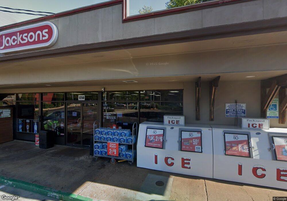
1250 39th St Missoula, MT 59803
Lewis and Clark Neighborhood
--
Bed
--
Bath
2,400
Sq Ft
0.32
Acres
About This Home
This home is located at 1250 39th St, Missoula, MT 59803. 1250 39th St is a home located in Missoula County with nearby schools including Russell School, Meadow Hill Middle School, and Sentinel High School.
Ownership History
Date
Name
Owned For
Owner Type
Purchase Details
Closed on
Dec 9, 2024
Sold by
Hi-Noon Petroleum Inc
Bought by
Jacksons Food Stores Inc
Purchase Details
Closed on
Aug 30, 2011
Sold by
Snavely Sharon
Bought by
Hi Noon Petroleum Inc
Home Financials for this Owner
Home Financials are based on the most recent Mortgage that was taken out on this home.
Original Mortgage
$358,240
Interest Rate
4.43%
Mortgage Type
Commercial
Create a Home Valuation Report for This Property
The Home Valuation Report is an in-depth analysis detailing your home's value as well as a comparison with similar homes in the area
Home Values in the Area
Average Home Value in this Area
Purchase History
| Date | Buyer | Sale Price | Title Company |
|---|---|---|---|
| Jacksons Food Stores Inc | -- | None Listed On Document | |
| Hi Noon Petroleum Inc | -- | Insured Titles Llc |
Source: Public Records
Mortgage History
| Date | Status | Borrower | Loan Amount |
|---|---|---|---|
| Previous Owner | Hi Noon Petroleum Inc | $358,240 |
Source: Public Records
Tax History Compared to Growth
Tax History
| Year | Tax Paid | Tax Assessment Tax Assessment Total Assessment is a certain percentage of the fair market value that is determined by local assessors to be the total taxable value of land and additions on the property. | Land | Improvement |
|---|---|---|---|---|
| 2025 | $10,286 | $812,400 | $269,819 | $542,581 |
| 2024 | $9,872 | $579,500 | $181,026 | $398,474 |
| 2023 | $9,510 | $579,500 | $181,026 | $398,474 |
| 2022 | $9,672 | $505,857 | $154,727 | $351,130 |
| 2021 | $8,602 | $505,857 | $0 | $0 |
| 2020 | $11,771 | $637,106 | $0 | $0 |
| 2019 | $11,737 | $637,106 | $0 | $0 |
| 2018 | $10,653 | $561,378 | $0 | $0 |
| 2017 | $10,482 | $561,378 | $0 | $0 |
| 2016 | $8,232 | $458,739 | $0 | $0 |
| 2015 | $7,628 | $458,739 | $0 | $0 |
| 2014 | $6,827 | $322,875 | $0 | $0 |
Source: Public Records
Map
Nearby Homes
- 3800 S Russell St Unit 1A
- 3800 S Russell St
- 701 39th St
- 3711 Bellecrest Dr
- 104 Black Pine Trail
- 3530 Washburn St
- 1765 Cyprus Ct
- 612 High Park Way
- 125 Wapikiya Dr
- 3914 Bellecrest Dr
- 806 Crestmont Way Unit A
- 1811 Charlott Ave
- 3 Rosebud Ln
- 802 Normans Ln
- 100 Simons Dr
- 1246 Colter Ct
- 1645 Shadow Ln
- 203 High Park Way
- 3609 Paxson St
- 3607 Paxson St
- 4009 S Russell St
- 4001 S Russell St
- 1500 39th St
- 4015 S Russell St
- 104 Mission Ct
- 108 Mission Ct
- 100 Mission Ct
- 117 Mission Ct
- Lot 120 Mansion Heights Dr
- 1220 S West Higgins
- 1220 S West Higgins Unit 4
- 1220 SW Higgins Ave
- 1220 SW Higgins Ave
- 4104 Hillview Way
- 105 Mission Ct
- 109 Mission Ct
- 101 Mission Ct
- 3700 S Russell 101 (Aka 103)
- 1525 39th St
- 1600 39th St