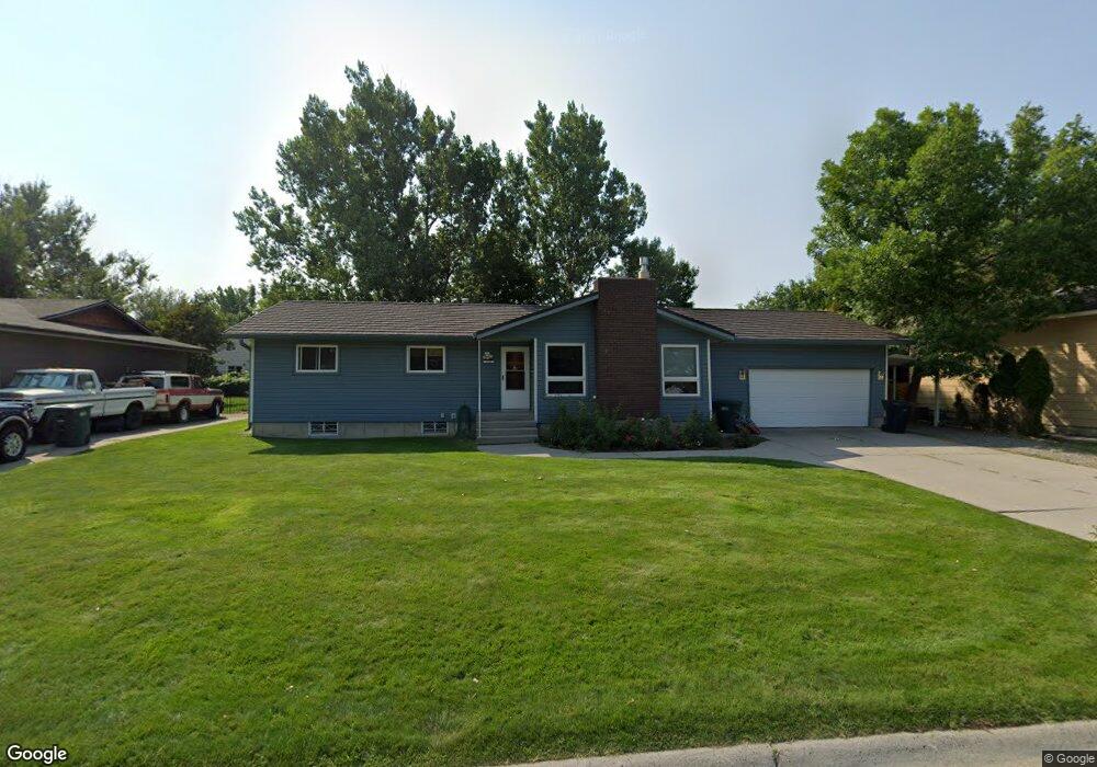
1250 Hardrock Ln Billings, MT 59105
Billings Heights NeighborhoodEstimated Value: $400,000 - $445,000
4
Beds
3
Baths
2,944
Sq Ft
$146/Sq Ft
Est. Value
About This Home
This home is located at 1250 Hardrock Ln, Billings, MT 59105 and is currently estimated at $429,774, approximately $145 per square foot. 1250 Hardrock Ln is a home located in Yellowstone County with nearby schools including Sandstone School, Castle Rock Junior High School, and Skyview High School.
Ownership History
Date
Name
Owned For
Owner Type
Purchase Details
Closed on
Oct 14, 2021
Sold by
Strecker Richard A and Strecker Eleanor M
Bought by
Reitler Shae Breaun G and Reitler Kyle R
Current Estimated Value
Home Financials for this Owner
Home Financials are based on the most recent Mortgage that was taken out on this home.
Original Mortgage
$351,500
Outstanding Balance
$320,535
Interest Rate
2.8%
Mortgage Type
New Conventional
Estimated Equity
$109,239
Create a Home Valuation Report for This Property
The Home Valuation Report is an in-depth analysis detailing your home's value as well as a comparison with similar homes in the area
Home Values in the Area
Average Home Value in this Area
Purchase History
| Date | Buyer | Sale Price | Title Company |
|---|---|---|---|
| Reitler Shae Breaun G | -- | Chicago Title |
Source: Public Records
Mortgage History
| Date | Status | Borrower | Loan Amount |
|---|---|---|---|
| Open | Reitler Shae Breaun G | $351,500 |
Source: Public Records
Tax History Compared to Growth
Tax History
| Year | Tax Paid | Tax Assessment Tax Assessment Total Assessment is a certain percentage of the fair market value that is determined by local assessors to be the total taxable value of land and additions on the property. | Land | Improvement |
|---|---|---|---|---|
| 2025 | $3,628 | $376,800 | $70,379 | $306,421 |
| 2024 | $3,628 | $354,300 | $65,748 | $288,552 |
| 2023 | $3,638 | $354,300 | $65,748 | $288,552 |
| 2022 | $2,906 | $242,900 | $60,328 | $182,572 |
| 2021 | $2,683 | $235,600 | $0 | $0 |
| 2020 | $2,641 | $221,300 | $0 | $0 |
| 2019 | $2,529 | $221,300 | $0 | $0 |
| 2018 | $2,425 | $207,300 | $0 | $0 |
| 2017 | $2,358 | $207,300 | $0 | $0 |
| 2016 | $2,358 | $211,400 | $0 | $0 |
| 2015 | $2,309 | $211,400 | $0 | $0 |
| 2014 | $2,045 | $97,891 | $0 | $0 |
Source: Public Records
Map
Nearby Homes
- 69 Nugget Place
- 1029 Nutter Blvd
- 1322 Babcock Cir
- 277 Westchester Square S
- 1422 Watson Peak Rd
- 1410 Twin Oaks Dr
- 218 Reda Ln Unit 4
- 218 Reda Ln Unit 3
- 225 Windsor Cir N
- 228 Nash Ln
- 385 Prospectors Ln
- 1443 Twin Oaks Dr
- 320 Stewart Ct N
- 324 Stewart Ct N
- TBD Saint Andrews Dr
- 1017 Toole Cir
- 153 W Hilltop Rd
- 475 Republic Ave
- 844 Governors Blvd
- 1126 Yorktown St
- 1260 Hardrock Ln
- 1240 Hardrock Ln
- 1251 Grubstake Cir
- 1261 Grubstake Cir
- 1230 Hardrock Ln
- 1270 Hardrock Ln
- 1271 Grubstake Cir
- 1251 Hardrock Ln
- 1241 Grubstake Cir
- 1281 Grubstake Cir
- 1261 Hardrock Ln
- 1241 Hardrock Ln
- 1231 Hardrock Ln
- 1220 Hardrock Ln
- 1231 Grubstake Cir
- 1271 Hardrock Ln
- 1260 Calendula Cir
- 1221 Grubstake Cir
- 1221 Hardrock Ln
- 1281 Hardrock Ln