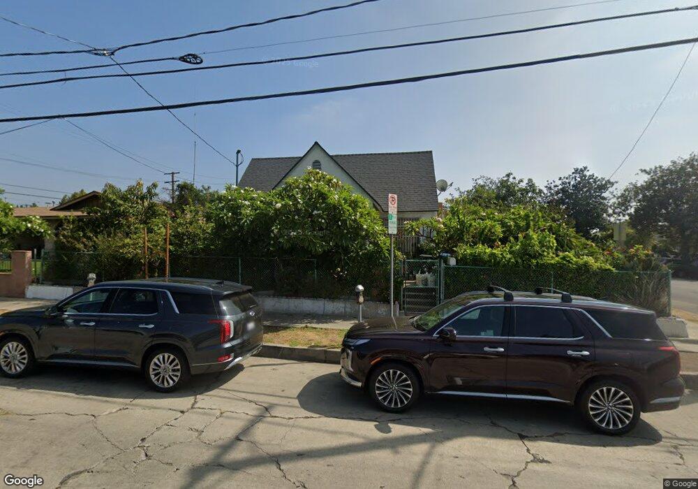
1250 North Avenue 51 Los Angeles, CA 90042
Estimated Value: $1,042,000 - $1,122,622
4
Beds
1
Bath
1,551
Sq Ft
$707/Sq Ft
Est. Value
About This Home
This home is located at 1250 North Avenue 51, Los Angeles, CA 90042 and is currently estimated at $1,095,906, approximately $706 per square foot. 1250 North Avenue 51 is a home located in Los Angeles County with nearby schools including Buchanan Street Elementary, Benjamin Franklin High School, and Luther Burbank Middle School.
Ownership History
Date
Name
Owned For
Owner Type
Purchase Details
Closed on
Jun 23, 1995
Sold by
Vargas Oscar
Bought by
Vargas Oscar and Vargas Maria
Current Estimated Value
Home Financials for this Owner
Home Financials are based on the most recent Mortgage that was taken out on this home.
Original Mortgage
$100,900
Interest Rate
7.88%
Purchase Details
Closed on
Aug 5, 1993
Sold by
Vargas Oscar and Vargas Maria
Bought by
Vargas Oscar
Create a Home Valuation Report for This Property
The Home Valuation Report is an in-depth analysis detailing your home's value as well as a comparison with similar homes in the area
Home Values in the Area
Average Home Value in this Area
Purchase History
| Date | Buyer | Sale Price | Title Company |
|---|---|---|---|
| Vargas Oscar | -- | Gateway Title Company | |
| Vargas Oscar | -- | -- |
Source: Public Records
Mortgage History
| Date | Status | Borrower | Loan Amount |
|---|---|---|---|
| Closed | Vargas Oscar | $100,900 |
Source: Public Records
Tax History Compared to Growth
Tax History
| Year | Tax Paid | Tax Assessment Tax Assessment Total Assessment is a certain percentage of the fair market value that is determined by local assessors to be the total taxable value of land and additions on the property. | Land | Improvement |
|---|---|---|---|---|
| 2025 | $4,033 | $328,883 | $261,702 | $67,181 |
| 2024 | $4,033 | $322,435 | $256,571 | $65,864 |
| 2023 | $3,956 | $316,114 | $251,541 | $64,573 |
| 2022 | $3,773 | $309,916 | $246,609 | $63,307 |
| 2021 | $3,719 | $303,840 | $241,774 | $62,066 |
| 2019 | $3,608 | $294,829 | $234,603 | $60,226 |
| 2018 | $3,542 | $289,049 | $230,003 | $59,046 |
| 2016 | $3,369 | $277,827 | $221,073 | $56,754 |
| 2015 | $3,320 | $273,655 | $217,753 | $55,902 |
| 2014 | $3,337 | $268,295 | $213,488 | $54,807 |
Source: Public Records
Map
Nearby Homes
- 5125 Buchanan St
- 1113 N Avenue 50
- 5055 Hub St
- 1037 N Avenue 50
- 1048 Dexter St
- 4925 Buchanan St
- 5117 Stratford Rd
- 917 N Avenue 51
- 4854 Buchanan St
- 829 N Avenue 53
- 5252 Range View Ave
- 865 N Avenue 50
- 5413 Meridian St
- 4780 Hub St
- 5318 Irvington Place
- 1336 Armadale Ave
- 1813 N Avenue 53
- 925 927 El Paso Dr
- 4707 Toland Way
- 4824 Toland Way
- 1252 North Avenue 51
- 5109 Lincoln Ave
- 5113 Lincoln Ave
- 5113 5115 Lincoln Ave
- 1/2 Lincoln Ave
- 5059 Lincoln Ave
- 1258 North Avenue 51
- 5117 Lincoln Ave
- 1255 North Avenue 51
- 5115 Lincoln Ave
- 5115 1/2 Lincoln Ave
- 5100 Lincoln Ave
- 5104 Lincoln Ave
- 5053 Lincoln Ave
- 5106 Lincoln Ave
- 5121 Lincoln Ave
- 5058 Lincoln Ave
- 5112 Lincoln Ave
- 5049 Lincoln Ave
- 5116 Lincoln Ave