12505 Peyton Hwy Peyton, CO 80831
Estimated Value: $487,000 - $807,000
3
Beds
3
Baths
1,999
Sq Ft
$312/Sq Ft
Est. Value
About This Home
This home is located at 12505 Peyton Hwy, Peyton, CO 80831 and is currently estimated at $623,351, approximately $311 per square foot. 12505 Peyton Hwy is a home located in El Paso County with nearby schools including Peyton Elementary School, Southeast Middle School, and Peyton Senior High School.
Ownership History
Date
Name
Owned For
Owner Type
Purchase Details
Closed on
Jun 10, 1998
Sold by
Wessel Ralph E and Wessel Susan M
Bought by
Baker Theodore J and Baker Starla R
Current Estimated Value
Home Financials for this Owner
Home Financials are based on the most recent Mortgage that was taken out on this home.
Original Mortgage
$157,250
Outstanding Balance
$36,838
Interest Rate
8.99%
Estimated Equity
$586,513
Purchase Details
Closed on
Dec 10, 1996
Sold by
Wessel Teresa M
Bought by
Wessel Ralph E and Wessel Susan M
Purchase Details
Closed on
Jan 2, 1996
Sold by
Edder Myla Jean
Bought by
Wessel Ralph E and Wessel Susan M
Create a Home Valuation Report for This Property
The Home Valuation Report is an in-depth analysis detailing your home's value as well as a comparison with similar homes in the area
Home Values in the Area
Average Home Value in this Area
Purchase History
| Date | Buyer | Sale Price | Title Company |
|---|---|---|---|
| Baker Theodore J | $185,000 | Stewart Title | |
| Wessel Ralph E | $65,000 | -- | |
| Wessel Ralph E | $179,900 | Security Title |
Source: Public Records
Mortgage History
| Date | Status | Borrower | Loan Amount |
|---|---|---|---|
| Open | Baker Theodore J | $157,250 | |
| Closed | Baker Theodore J | $27,750 |
Source: Public Records
Tax History Compared to Growth
Tax History
| Year | Tax Paid | Tax Assessment Tax Assessment Total Assessment is a certain percentage of the fair market value that is determined by local assessors to be the total taxable value of land and additions on the property. | Land | Improvement |
|---|---|---|---|---|
| 2025 | $1,439 | $39,940 | -- | -- |
| 2024 | $1,287 | $37,730 | $8,810 | $28,920 |
| 2023 | $1,287 | $37,730 | $8,810 | $28,920 |
| 2022 | $1,132 | $24,640 | $7,110 | $17,530 |
| 2021 | $1,212 | $25,350 | $7,310 | $18,040 |
| 2020 | $1,056 | $21,460 | $6,150 | $15,310 |
| 2019 | $1,039 | $21,460 | $6,150 | $15,310 |
| 2018 | $890 | $17,890 | $4,770 | $13,120 |
| 2017 | $885 | $17,890 | $4,770 | $13,120 |
| 2016 | $855 | $17,260 | $4,600 | $12,660 |
| 2015 | $851 | $17,260 | $4,600 | $12,660 |
| 2014 | $775 | $15,520 | $4,600 | $10,920 |
Source: Public Records
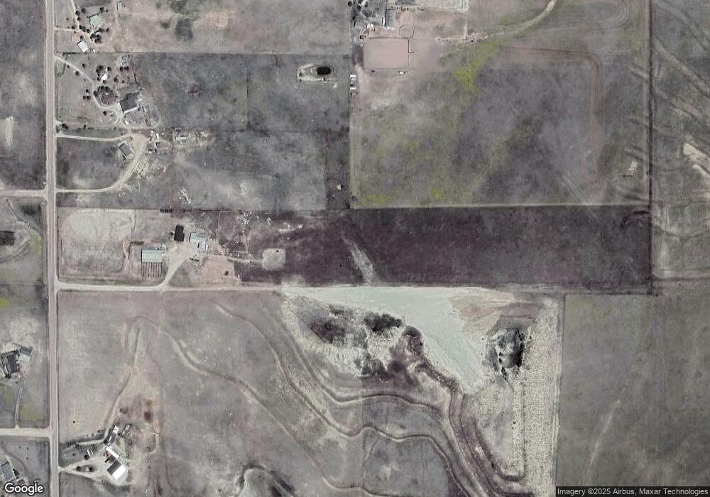
Map
Nearby Homes
- 11987 Peyton Hwy
- 19530 Cheryl Grove
- 10985 Highway 24
- 14350 Bradshaw Rd
- 12220 Tracy Ln
- 20533 Blue Springs View
- 12220 Preston Place
- 12035 Tracy Ln
- 21150 Sampson Rd
- 16741 U S 24
- 10965 Mckissick Rd
- 11424 Mckissick Rd
- 11354 Mckissick Rd
- 0 Unknown Unit 4105570
- 0 Unknown Unit 6884458
- 0 Unknown Unit 22797619
- 0 Unknown Unit REC9310541
- 10935 Mckissick Rd
- 3780 Log Rd
- 3920 Log Rd
- 12820 Peyton Hwy
- 18725 Longhorn Acres Trail
- 12225 Safe Landing Dr
- 12711 Peyton Hwy
- 12367 Peyton Hwy
- 12345 Safe Landing Dr
- 12320 Safe Landing Dr
- 18650 Longhorn Acres Trail
- 18625 Longhorn Acres Trail
- 13255 Peyton Hwy
- 12375 Safe Landing Dr
- 12350 Safe Landing Dr
- 12915 Peyton Hwy
- 11950 Peyton Hwy
- 12380 Safe Landing Dr
- 12430 Safe Landing Dr
- 12525 Safe Landing Dr
- 12460 Safe Landing Dr
- 12935 Peyton Hwy
- 12993 Peyton Hwy